Why Drone Photography NJ is Transforming Real Estate Listings in 2024
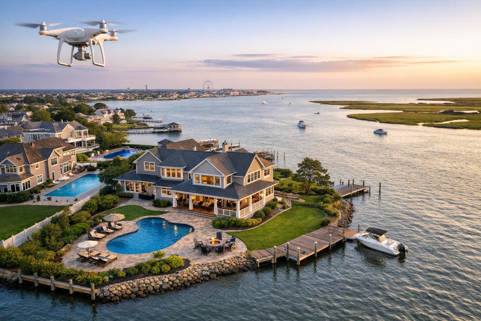
Drone photography in NJ captures a stunning waterfront property with a pool and dock at sunset.
Why Drone Photography NJ is Transforming Real Estate Listings in 2024
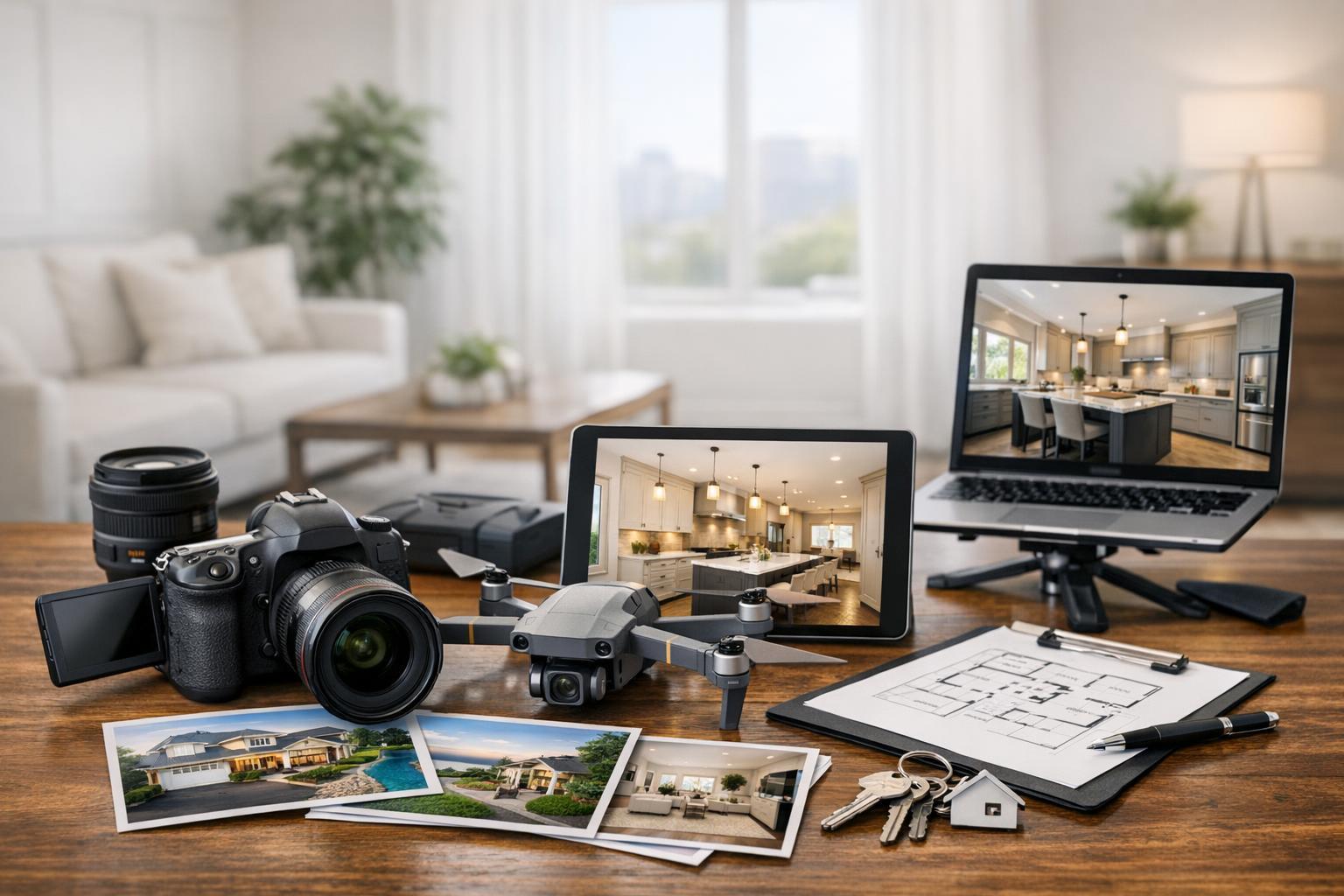
Drone photography NJ is quickly becoming a foundational tool for real estate professionals looking to present properties with accuracy, depth, and context. In New Jersey—a market known for its mix of suburban landscapes, waterfront homes, and diverse commercial space—aerial imagery doesn’t just provide a new angle; it offers a clearer, more complete view of what makes a listing attractive.
As experienced real estate media providers working throughout NYC, New Jersey, and surrounding markets, the RealtaSnap team sees how aerial real estate photography is changing not just how listings look, but how agents make decisions about marketing them. Here’s what’s actually changing on the ground (and in the air), and what thoughtful agents, property managers, and sellers need to know before budgeting for drone coverage.
Seeing the Whole Picture: Beyond Ground-Level Photography
Traditional real estate photography is excellent at capturing a property’s details from the ground—the curb appeal, the front entry, and the interior design. But even the best ground-level photos have limits when it comes to illustrating setting, scale, and context. That’s where drone photography real estate services offer a genuine advantage in NJ.
An aerial photo or video can often reveal details that traditional shots simply can’t show, including:
- Lot boundaries, shape, and overall size
- The spatial relationship between house, driveway, pool, patio, and landscaping
- How private or open the backyard actually is
- The proximity to local amenities, main roads, or water features
- Rooflines, architectural scale, and outdoor living areas
- Commercial elements such as building footprint, access points, and parking
For commercial listings, a high-angle shot can communicate access and logistics before a client even sets foot on site. For residential homes—especially those with notable outdoor features—aerial media can tie together the pieces into a single, digestible visual story that static ground-based shots would have to stitch together over multiple images.
Why the New Jersey Landscape Makes Aerial Imagery Especially Useful
New Jersey’s real estate is a patchwork of property types, each with its own visual and marketing priorities. The operational reality is that the value of aerial real estate photography depends on the property and its story:
- Suburban properties: Backyards, pools, decks, and gardens are often major selling points. A drone can capture how all these features are positioned and connected.
- Waterfront or shore homes: The location relative to water—whether that’s a lake, river, bay, or the Jersey Shore—is often key to buyer interest. A well-composed aerial shot can make that connection concrete.
- Large estates or new construction: Expansive lots, long driveways, and architectural scale benefit from a viewpoint that can fit the entire scene in one frame. Especially for homes set back from the street, an aerial angle gives buyers a sense of the home’s scale.
- Commercial and investment properties: Aerial images make it easy to show access points, parking, road frontage, and neighboring infrastructure. Prospects can see at a glance how a building fits into the surrounding business environment.
Different property types have genuinely different needs—and in New Jersey, where waterfronts, wooded suburbs, and dense urban pockets coexist, the right drone image is about context, not just spectacle.
Operational Realities: Planning, Preparation, and Feasibility
Professional aerial photography is more than launching a drone and snapping images. It starts before the drone even leaves the ground.
Preparation Makes the Difference
Even though the camera is flying above, careful ground preparation still matters. Quick wins for sharper, more presentable aerial media include:
- Clearing vehicles from driveways and parking areas
- Tidying up outdoor spaces (put away bins, hoses, tools, and toys)
- Straightening or staging patio furniture as appropriate
- Landscaping—consider lawn mowing and leaf clearing before the shoot
- Making sure pool areas are uncovered and clean (when in season)
Prioritizing these tasks on the day of the shoot means the resulting aerial images feel intentional, not incidental.
Flight Feasibility: Not Every Property is a Candidate
The ability to capture aerial imagery at a given address is not guaranteed. Drone flights in New Jersey must adhere to FAA rules, consider local airspace (especially near airports or in dense urban settings), and account for weather, safety, and physical access. Sometimes, busy commercial districts or high-rise urban neighborhoods require special logistics—such as roof access or advance coordination to ensure a safe and legal flight.
If aerial coverage is important to your listing, it’s smart to discuss flight feasibility with the production team early in the planning process. Agents and sellers should avoid promising drone media before the property is reviewed for operational fit.
What Makes a Useful Drone Image?
The best aerial images are intentional. Rather than defaulting to a standard overhead “map” view, experienced media teams curate a mix of aerial perspectives, tailoring each shot to what tells the property’s story most clearly.
A robust set of aerials for a real estate listing might include:
- A front-facing mid-elevation shot to establish curb appeal and lot placement
- A rear or angled view showing the relationship between house, pool, and yard
- A wide contextual shot that places the property in relation to water, parks, or important landmarks
- High-angle shots, only when they actually clarify the property’s boundaries or surrounding features
- Composed detail shots to highlight architecture, outdoor spaces, or unique amenities
Height matters here. Flying too high can reduce the property to a dot on the landscape; flying too low can miss the context. Balancing these choices is part of professional aerial production.
Making Drone Media Work for Your Listing
Drone photography is most effective when integrated with the overall listing media strategy—not as a novelty, but as a planned component. In our experience, thoughtful agents leverage aerial assets in several ways:
- Lead with a powerful aerial still when setting and context are major property strengths
- Combine aerial photography with standard photos to provide both detail and context
- Use short aerial video clips to set the stage in a listing video or add movement to social media
- Incorporate aerial images into presentations, offering memorandums, or direct-to-broker marketing
Aerial real estate photography is not a replacement for high-quality interior and exterior coverage. The details buyers care about—layout, finishes, lighting, room-to-room flow—still require ground-based work. Drone imagery adds value precisely when it helps answer the kinds of location and context questions a buyer can’t solve from the street.
For those interested in professional aerial photos and motion, RealtaSnap offers flexible packages to fit different listing needs. As of this writing, 10 HDR aerial images are available for $209, a one-minute 4K drone video is $229, and a photo-and-video bundle is $299. Agents can choose what is most relevant depending on the property’s characteristics and marketing plan.
For more information, you can visit the RealtaSnap drone services page.
Should Every Listing Include Drone Media?
While aerial content adds value to many listings, it’s not always appropriate. Properties most likely to benefit include:
- Large or unusually shaped lots
- Waterfront or shore proximity
- Homes with pools, large patios, landscaped yards, roof decks, or significant outdoor features
- Architecturally distinctive buildings
- Commercial spaces where access, parking, or location is critical
On the other hand, a property lacking meaningful exterior features may get more value from strong, well-executed ground photography. The central question: does an aerial perspective genuinely add something a buyer can’t see otherwise?
The Local Perspective
In New Jersey, drone media is now an expected part of the agent’s marketing toolkit when a property’s setting is among its selling points. In denser urban settings like parts of NYC, aerial feasibility depends on airspace, roof access, and safety. In the suburbs or at the Shore, aerial work is often straightforward for experienced operators—when weather and airspace allow.
Path to Booking and Next Steps
For those considering drone photography for their next listing, RealtaSnap’s process is designed to be clear and easy. Once the address is entered at www.RealtaSnap.com, the schedule will show available services for that property and guidance on feasibility when needed. Questions about flight approval or planning can be covered before scheduling so you know exactly what to expect on the day of capture.
When used thoughtfully, drone media has become one of the most practical tools for adding value to NJ real estate marketing. It builds trust not just by showing what’s there, but by presenting it with clarity and context.
Ready to explore aerial options for your listing? Book online or learn more about how RealtaSnap can support your property presentation.
FAQ
Question: How do I know if my NJ listing is a good fit for drone photography?
Answer: If the property includes features like a spacious yard, pool, unique landscaping, proximity to water, or significant commercial amenities, aerial coverage can help tell a fuller visual story. If the exterior setting is not a central selling point, high-quality ground photos may be sufficient.
Question: Are there restrictions on where drones can be used in New Jersey?
Answer: Yes, drone flights must comply with FAA regulations and are always subject to pilot discretion, weather, airspace, safety, and access. Some properties (especially near airports, in dense downtown areas, or with limited outdoor space) may have flight limitations or require special handling.
Question: What should I do to prepare for a drone shoot?
Answer: Preparing outdoor areas is key. Remove vehicles, tidy up any clutter, take care of landscaping, and unlock any gates or access points that need to be captured. Communicating any key areas or features that matter for the aerial story will help the shoot go smoothly. You can always reach out to RealtaSnap for more specific guidance or consult the RealtaSnap preparation guide.