Why Drone Photography Is Transforming NYC Real Estate Listings
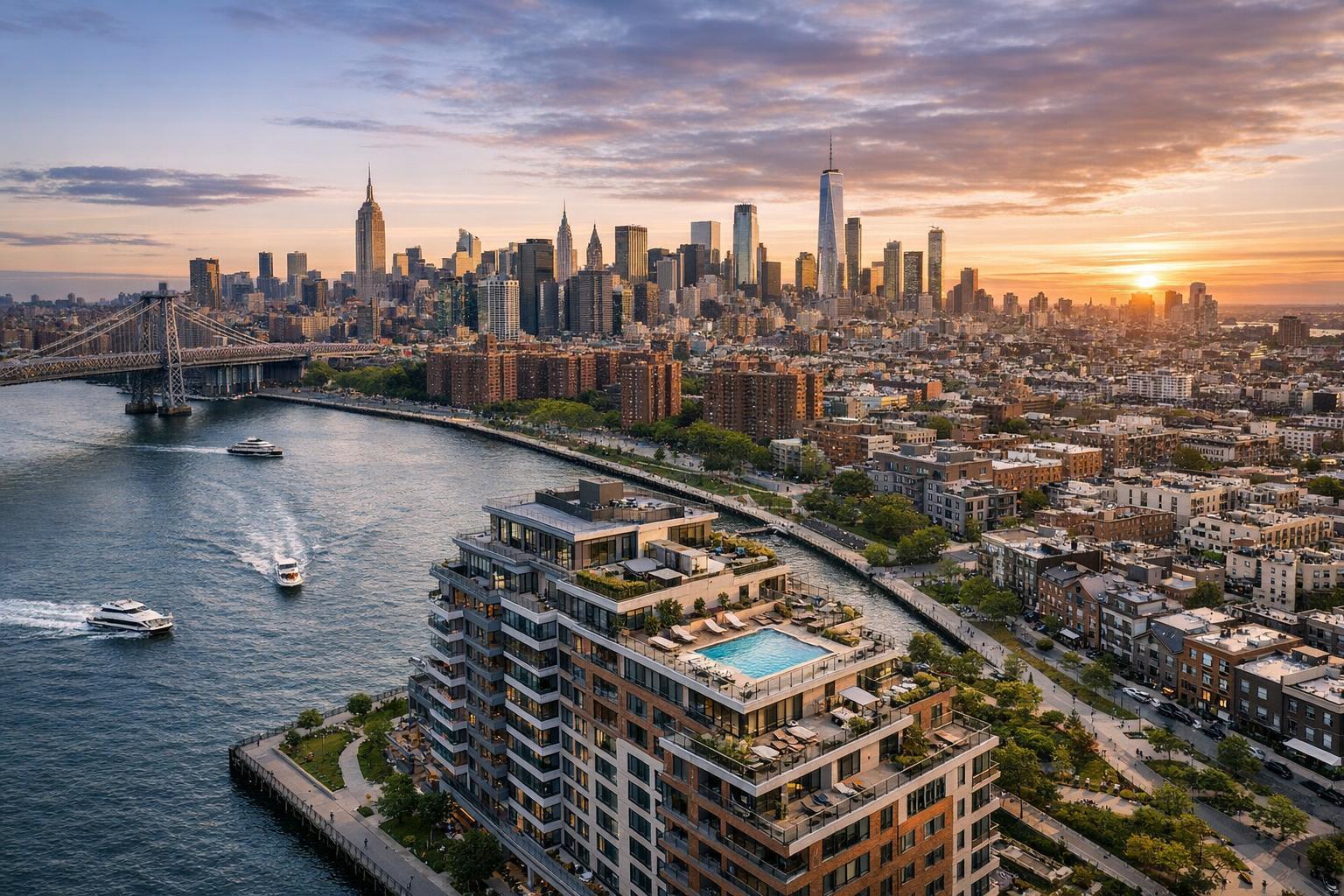
Drone photography captures a luxurious high-rise building with a rooftop pool overlooking a river and city skyline at sunset.
Why Drone Photography Is Transforming NYC Real Estate Listings
Drone photography real estate has changed the way agents, property owners, and marketers present listings in NYC and New Jersey. In a market defined by dense neighborhoods, iconic skylines, and properties where outdoor features matter as much as interiors, traditional ground-level imagery leaves gaps that aerial perspectives can fill. Whether it’s showing the true setting of a Brooklyn brownstone, clarifying the outlook from a Manhattan penthouse terrace, or revealing the footprint of a commercial building in Jersey City, aerial real estate photography brings setting and scale directly into view.
Beyond the Ground: The Unique Value of Aerial Real Estate Photography
Standard listing photos do a fine job capturing details inside—layout, room sizes, finishes, and natural light. Exterior photos create curb appeal, but only from a limited vantage. Drone imagery, on the other hand, can offer angles that help people understand a property’s full context: how a home relates to its backyard or garden, where a rooftop deck connects to a skyline, or how a building sits within a block of historic neighbors. These details are often missed by anything shot from the street or a lobby.
Some practical ways that drone photography enhances listing visuals include:
- Showing the relationship between buildings and outdoor amenities (gardens, pools, decks)
- Highlighting unique architecture or rooflines
- Placing a property in its larger neighborhood context (parks, water, views)
- Illustrating commercial sites, parking locations, and multi-structure developments
For compact urban properties, even a modest shift in elevation can help buyers make sense of outdoor spaces, privacy, and views in ways impossible at eye level. For sprawling New Jersey homes, aerial coverage can efficiently show lot size, surrounding land, and the scale of outdoor features.
Addressing Common Challenges in NYC and New Jersey Listings
Agents in NYC and NJ understand that location is rarely a footnote—it’s often the main event. Here’s how drone and aerial real estate photography solve real-world visual challenges:
Urban Townhomes and Historic Brownstones
City homes are packed tightly, often with features that deserve more than a single front shot. Brownstones in Brooklyn, townhouses in Harlem, and historic properties elsewhere benefit from drone angles that can show rear gardens, roof decks, exterior details, and the overall position on the street. Overhead images can highlight green spaces or showcase how a home stands apart architecturally from its neighbors.
Condos, Penthouses, and Apartments with Outdoor Space
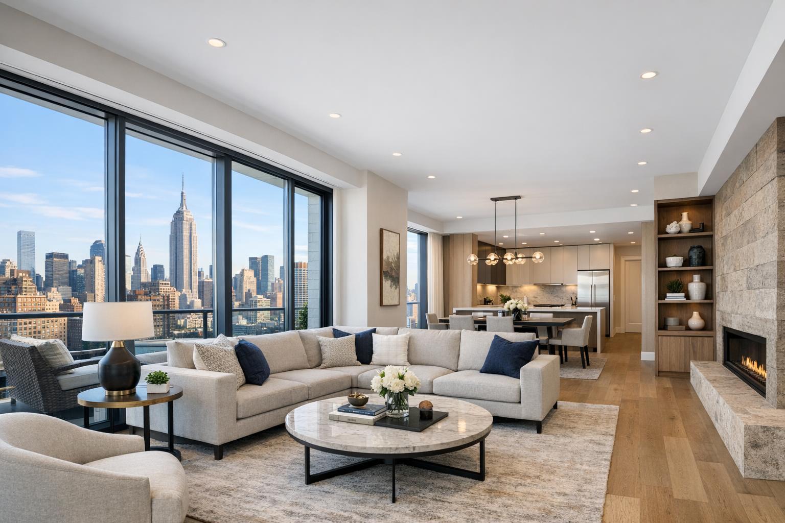
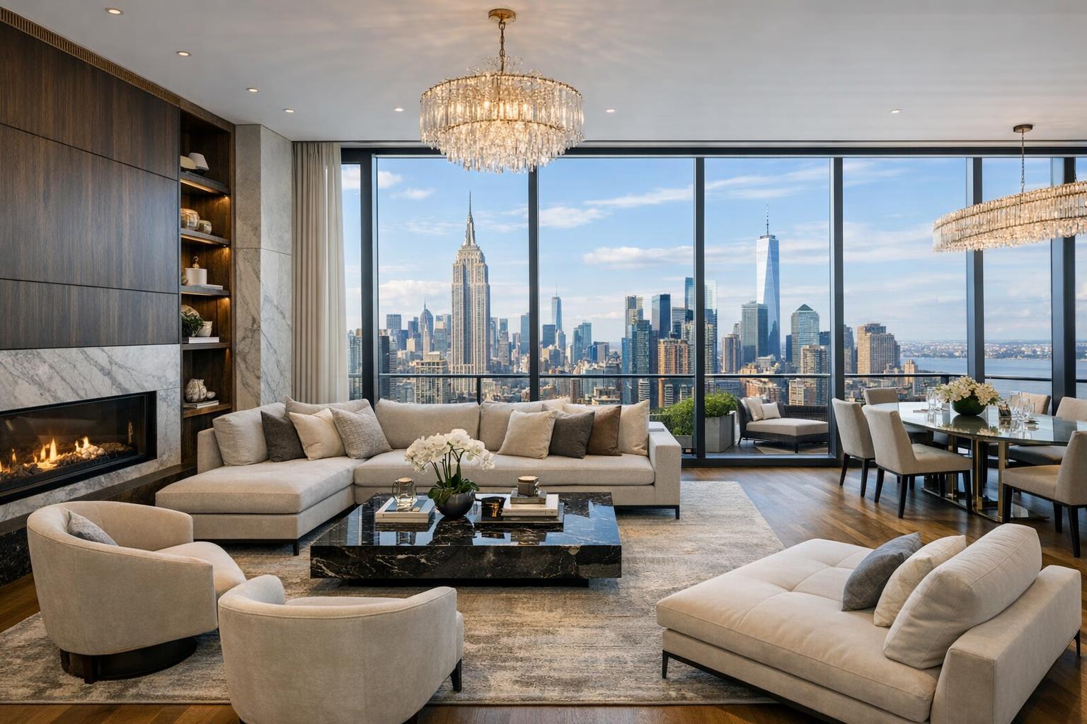
Many buyers care as much about the outdoor experience as they do about the kitchen. Drones can clearly present the size and privacy of a terrace, the layout of a rooftop deck, or the building’s relationship to the nearest park. For penthouses, an aerial angle often gives much-needed context—showing how a unit sits above the city, what the skyline exposure actually feels like, and how it truly connects to the outdoors.
Commercial and Development Sites
For commercial properties, drone imaging is especially powerful. It can communicate the full footprint, explain access and loading zones, show parking, clarify the arrangement of multiple structures, and highlight proximity to major streets or transit. This is vital for retail, office, industrial, and mixed-use listings—spaces where context frequently drives value.
Why Video Matters: Adding Movement and Orientation
While still images work well for explaining layout and features, aerial video gives the viewer something else: orientation. A short, edited drone sequence can start with a sweeping neighborhood shot, glide toward the property, and then reveal gardens, rooftops, or building amenities. This helps the viewer understand how everything connects—from the block, to the building, all the way into the private spaces.
When paired thoughtfully with traditional listing video, drone footage can be used as an opening or transition. For many agents searching for “real estate videography near me,” the goal is to combine ground-level walkthroughs with sweeping aerials, using each for what it does best:
- Interior video for flow and atmosphere
- Ground-level exteriors for entry, landscaping, and curb appeal
- Drone video for wider context and dramatic establishing shots
A well-produced edit makes it easy to move between these perspectives without overwhelming the viewer.
Not Every Property Needs a Drone—and That’s a Good Thing
A common misconception is that every listing should feature drone media. In reality, experience suggests it’s best reserved for situations where aerial imagery answers a real question or brings value to the story:
- Properties with roof decks, terraces, gardens, pools, or significant outdoor space
- Listings with waterfront, park-facing, or open-view locations
- Unique or distinctive architecture
- Larger lots, private drives, or compound-style developments
- Commercial listings where footprint, access, or context matters
If a property is an interior apartment with no notable exterior value, professional interior photography or virtual tours may be much more effective investments. Experienced agents coordinate the visual package to the strengths of each listing instead of defaulting to a standard checklist.
Planning and Practicalities: How Drone Photography Really Works in NYC
Launching a drone in NYC or New Jersey isn’t as simple as showing up and flying. Several factors must be considered:
- Airspace: NYC especially is governed by FAA airspace rules and local restrictions.
- Weather: Wind, rain, and light affect not only safety but final image quality.
- Safety: Buildings, pedestrians, and access all play a part in whether an aerial shoot is practical.
- Access: Roof or terrace access can make flights more feasible and open up useful creative angles.
RealtaSnap operates within FAA Part 107 rules and always reviews each location for feasibility and safety. Not every property, especially in tight or heavily regulated districts, is flyable. Roof access helps but does not guarantee a flight; anything requiring municipal or event permits would need to be arranged by the client in advance. This diligence is about responsible operation and protecting everyone involved.
Getting the Most from an Aerial Shoot: Property Preparation Tips
One of the most overlooked aspects of drone photography is preparation for aerial views. Items that go unnoticed from the ground—like clutter on terraces, trash bins, patchy landscaping, or poorly arranged furniture—are suddenly visible from above.
A few quick reminders for preparing a space:
- Clear patios, decks, balconies, and visible rooftop spaces of unnecessary items
- Move trash bins and maintenance tools out of sight
- Stage or arrange outdoor furniture intentionally
- Remove vehicles from critical sightlines if possible
- Ensure pool covers, umbrellas, and landscaping are tidy
- Coordinate building or roof access well in advance
This attention to detail allows aerial media to present the property as accurately and attractively as the rest of the listing media.
Selecting the Right Package: RealtaSnap Drone Services at a Glance
RealtaSnap offers several drone photography and video packages designed for real estate marketing in NYC, New Jersey, and surrounding areas. Clients can select only stills, only video, or combine both, depending on what the property needs to tell its story. As of now, these are the typical options:
- Drone photography: 10 HDR aerial photos, with blue sky replacement if needed
- Drone video: A one-minute, professionally edited 4K video
- Drone photo and video: Both 10 HDR photos and a one-minute 4K video, coordinated for a seamless media set
Full pricing details, as well as information on booking and availability, are always available on the RealtaSnap drone services page.
Integrating Drone Media with the Rest of the Listing
Great listing media is coordinated, not cluttered. The strongest presentations use interior and exterior photography as the backbone, with aerial photography adding helpful context and video introducing movement and orientation. Floor plans and 3D virtual tours can further clarify layout and flow.
Often, a townhouse in Brooklyn might benefit from both interior shots and drone images showing its rear garden, while a high-rise Jersey City condo might use drone video to highlight a terrace and skyline view. Each visual asset explains a key piece of the property story; used together, they help viewers form a complete understanding of what’s being offered.
For more information on photography and video options, see the NYC & NJ real estate photography page or explore full media services.
Bringing the Full Picture Into Focus
Drone photography real estate is about more than dramatic angles. In markets like NYC and NJ, it gives listings a way to communicate features and context otherwise hard to capture—setting, outdoor space, architecture, and relationship to surroundings.
When used intentionally, aerial real estate photography helps prospective buyers see not only what the property is but how it actually fits within the block, neighborhood, or city. For agents, brokers, developers, and property marketers, this can be a powerful tool—one that, used where appropriate, supports clear, compelling listing presentations.
For questions, booking, or a custom media package—visit www.RealtaSnap.com. We’re happy to help you present your next listing with clarity and confidence.
FAQ
Question: Are there restrictions on drone flights for real estate listings in NYC or New Jersey?
Answer: Yes, drone operations are subject to FAA rules, local airspace restrictions, weather, access, and site-specific safety assessments. Not every property, especially in dense areas, is suitable for drone flights. RealtaSnap reviews all locations for practical feasibility before confirming aerial coverage.
Question: What types of properties benefit most from aerial real estate photography?
Answer: Drone and aerial images are especially useful for listings with roof decks, terraces, large yards or gardens, unique architecture, commercial scale, or locations where exterior setting is important—like waterfronts or park-facing properties.
Question: How do I book drone photography or video with RealtaSnap?
Answer: You can browse package options and booking details on the RealtaSnap drone services page. For most assignments, availability and feasibility can be confirmed online, and the process is straightforward for properties in NYC, New Jersey, and nearby service areas.