When Is Drone Photography Worth It for a Real Estate Listing?
Drone photography captures a stunning lakeside estate with a large pool, lush landscaping, and surrounding waterfront properties.
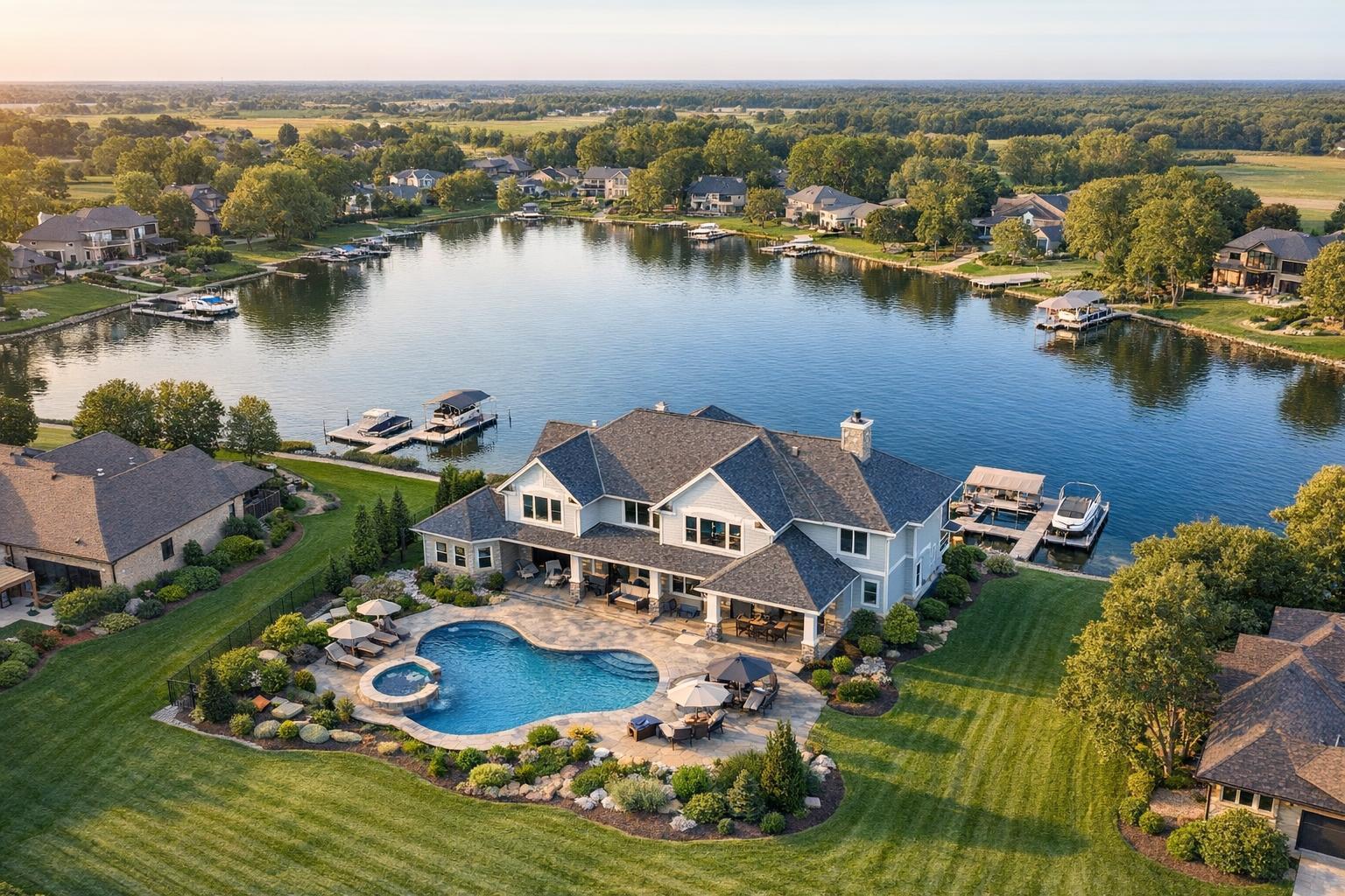
When Is Drone Photography Worth It for a Real Estate Listing?
Drone photography real estate is increasingly top of mind for agents and property owners looking to make listings more visually compelling, but choosing when to invest in aerial media isn’t always straightforward. The decision comes down to a practical assessment: will an elevated viewpoint give potential buyers or tenants meaningful context they can’t get from ground-level photos alone? The answer depends on what’s unique about the property, the setting, and what you need your listing to communicate.
Why Aerial Media Can Matter
Professional ground-level photos do a great job showing a property’s interior and curb appeal, but some features and contexts simply don’t translate fully without a bird’s-eye view. Drone photography services bring spatial relationships, land size, outdoor features, and surrounding context into focus in ways that traditional photos can’t match. This is particularly relevant for listings with distinctive land, outdoor amenities, waterfront settings, roof decks, dramatic views, or commercial-scale footprints.
A well-considered aerial shot isn’t just about making a listing look impressive—it should answer a visual question that potential buyers might have. How large is the lot, really? Where does the backyard end? How far is the water, the park, or the nearest transit line? What does the roof deck look like in relation to the rest of the building or the city skyline? When aerial media provides visual clarity that standard photos can’t, it becomes a smart addition, not just a flashy extra.
Features That Often Warrant Aerial Coverage
In our experience producing media for NYC, New Jersey, and surrounding areas, certain types of listings almost always benefit from drone imagery:
- Substantial land or unique outdoor spaces: Acreage, oversized or unusually shaped lots, sweeping lawns, mature gardens, multi-structure sites, or custom outdoor features are all much easier to showcase from above. Suburban and rural New Jersey listings, in particular, often have property value tied up in the land itself.
- Waterfront and marina access: Whether it’s direct frontage, a private dock, or just the orientation to the water, aerial shots can quickly communicate distance, views, and access. An overhead image can contextualize features that ground-level photos might otherwise obscure or compress.
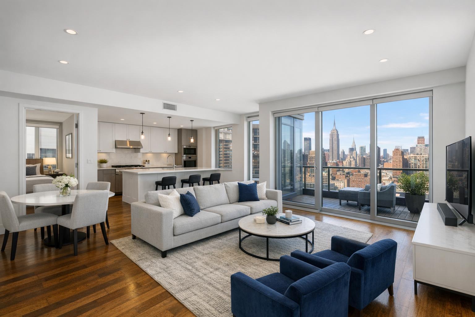
- Roof decks, terraces, and skyline views: In NYC, roof access can add significant value. Capturing the extent, usability, and surroundings of a roof deck or private terrace from the air brings clarity to how those outdoor spaces relate visually to the apartment below and the city beyond.
- Architectural scale and corner positioning: Large estates, modern homes with complex geometry, historic properties, or commercial buildings can require a broader perspective to communicate their size, shape, and prominence. A drone can show building footprints, exposure on multiple streets, and relationships between structures that aren’t apparent from the ground.
- Proximity to parks, transit, and amenities: Sometimes what matters most is how the property connects to its neighborhood. An aerial frame can place the building in context with nearby green spaces, busy business corridors, transit hubs, or walkable downtown areas—provided those features are truly close and relevant.
It’s important that aerial images are accurate, not misleading—drone photos should not be used to imply access, proximity, or features that don’t actually exist.
When Aerial Media Adds Little (Or Isn’t Feasible)
Not every listing gains something from a drone. In dense urban settings—like many parts of Manhattan, Brooklyn, Jersey City, or Hoboken—the exterior story is often better told with well-composed ground-level photos or a focused set of interior images. Reasons aerial coverage might not add value include:
- Typical apartments without exterior spaces
- Properties with no significant outdoor features, land, or views
- Surroundings that add little contextual interest
- Restricted airspace or challenging flight logistics
- A building whose exterior is nearly identical to neighboring properties
For many condo and co-op listings in NYC, the most effective approach is usually a set of sharp exterior shots, a street scene, or terrace image supported by strong interior photography. Drones can’t always provide useful angles in areas with limited launch sites, heavy air traffic restrictions, or visually tight streetscapes. Feasibility is always case by case.
Practical Considerations: Feasibility, Access, and Airspace
Drone photography is inherently more variable than standard real estate photography. Safe operation depends on airspace clearance, weather, roof or yard access, and the specific location—not every address is eligible, and not every feature can be safely or legally captured. For instance, listings near airports, stadiums, busy city events, or sensitive facilities require extra review and may be subject to outright restrictions.
In dense parts of NYC, roof access can make or break a shoot by offering both a safe launchpad and improved sight lines. Early communication about roof access, gated yards, or property management rules is critical; even with access, there are no guarantees, as each project is subject to on-site safety, airspace, and a professional pilot’s discretion.
For all drone sessions, RealtaSnap handles operations in accordance with FAA Part 107 requirements. We don’t obtain municipal, NYPD, or special event permits—if they’re required, they remain the client’s responsibility, and sometimes a project just isn’t workable.
Weather is another limiting factor—high winds, rain, or poor visibility can ground even the most straightforward job, and a clear forecast does not guarantee a feasible flight plan. For every booking, we begin with property address and basic access details to review viability before confirming service.
The Right Deliverable: Photos, Video, or Both?
How the property will be marketed should guide your choice of deliverables:
- Aerial photos: Ideal for MLS, brochures, social media, and property websites where a few high-impact images tell the story. Still images are best for clearly showing spatial relationships, lot size, and exterior features in a way that complements interior shots.
- Aerial video: Where motion adds meaning—a smooth reveal of a waterfront location, a tour down a long drive, or a roof deck opening up to a skyline view. Video is most effective when integrated into a broader on-site listing video.
- Combined photo and video: Useful for larger estates or key commercial listings where both image types help create a comprehensive marketing package.
Current RealtaSnap drone packages (confirmed as of this writing):
- Drone Photos (10 HDR images): $209
- Drone Video (1 minute, 4K): $229
- Photos & Video Bundle: $299
Since every job depends on location, airspace, and access, we ask that details be submitted when booking. You can review and schedule online at www.RealtaSnap.com/schedule.
Operational Realities for Agents and Sellers
A few production details to keep in mind for smooth aerial coverage:
- Confirm roof, yard, or driveway access ahead of time. If access is limited, share details (keys, codes, manager info) and timing needs, especially for occupied properties.
- Think about what the aerial story should communicate. Identify 1–2 exterior priorities: Is it showing land size, proximity to water, the shape of a rooftop deck, or the extent of grounds and amenities?
- Understand the limits. Aerial media is not a substitute for technical roof inspections, boundary surveys, or engineering reports. Drone images are for marketing, not for architectural or legal review.
- Feasibility is entirely address and conditions dependent. If the location is unworkable for aerial media, it’s worth putting the budget toward core photography and video.
Using Aerial Media Strategically
Intentional planning makes a difference. Use drone coverage to clarify, not just dramatize. If the property has real exterior strengths—land, water, views, unique architecture, urban scale, or neighborhood context—consider aerials. If there’s little to show from above, focus your resources on ground-level interiors and exteriors that present the listing in its best light.
Whenever you’re considering drone photography services in NYC, New Jersey, or the surrounding area, start by evaluating the property’s specific features and setting. Contact us at www.RealtaSnap.com for a feasibility review or to schedule a shoot.
FAQ
Question: What features make a property a good candidate for drone photography real estate?
Answer: Properties with substantial land, outdoor amenities, waterfront or marina access, roof decks, terraces, significant views, or complex building layouts often benefit most. Aerial images help clarify context and layout when ground-level shots can’t tell the full story.
Question: What should I prepare before a drone shoot?
Answer: Identify the key exterior features you want to showcase (such as a yard, roof deck, pool, or proximity to a park). Ensure necessary access is arranged—whether that’s roof entry, yard gates, or building management approval—and provide details to your media team when booking.
Question: Can drone images be used for roof inspections or official surveys?
Answer: No. RealtaSnap’s drone photography is strictly for marketing use. It can help visually show roofs, exteriors, and surroundings but does not replace technical inspections, engineering assessments, or legal boundary surveys. For those needs, always consult the appropriate licensed professional.