When Is Drone Photography Worth Adding to a New Jersey Real Estate Listing?
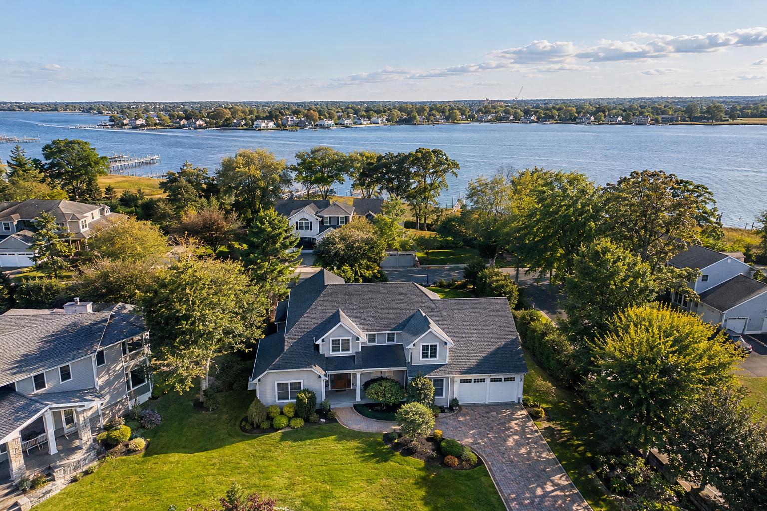
Drone photography in NJ captures a beautiful suburban home surrounded by lush greenery with a scenic waterfront view in the background.
When Is Drone Photography Worth Adding to a New Jersey Real Estate Listing?
Drone photography NJ comes up often in conversations about marketing properties—from expansive suburban homes to waterfront retreats and prominent commercial sites. As a real estate media team serving NYC, New Jersey, and the broader metro area, we see firsthand where aerial real estate media can make a genuine visual impact—and, just as importantly, where it may add little to the story your listing needs to tell.
If you’re weighing whether—or when—to add drone photography to a New Jersey listing, the decision nearly always comes down to one simple question: Does an aerial view make something important clearer to a prospective buyer, tenant, or investor? Not every property benefits equally from a view above ground level, but for the right listing, those extra photos or video clips can offer context you can’t achieve from the driveway, sidewalk, or interior.
Aerial Perspective: When It Adds Useful Property Context
Some of the most compelling uses for real estate drone photography NJ relate to properties with features or surroundings that are easily missed in ground-level marketing. Agents and owners sometimes ask, “Will drone shots look impressive?” but it’s more helpful to ask, “Would a bird’s-eye view actually help a viewer understand this property and its setting?”
A few property traits signal that aerial coverage could be worthwhile:
- Large or unusually shaped lots, especially with amenities like pools, gardens, patios, or detached buildings
- Waterfront locations, whether that means a dock, shorefront, bay, lake, river, or marina exposure
- Elevated sites with mountain, skyline, or panoramic neighborhood views
- Eye-catching architectural shapes, distinctive rooflines, or outdoor features like wraparound decks or terraces
- Notable proximity to parks, transit, schools, shopping, or recreation—when those amenities are visible and relevant
- Commercial properties where visibility, parking, access, or adjacency drive value
- New developments, corner sites, or projects where the relationship to streetscape or open land matters
What aerial photos do best is answer the logical “how does it fit?” question that nearly every serious prospect has. A ground shot might show a tidy front porch or renovated façade, but only an overhead view can reveal lot boundaries, relative distance to water or open space, the privacy of a backyard, or parking and site access of a business location.
Context matters. For a typical New Jersey home hidden on an oversized wooded lot, a drone still might show the backyard’s relationship to the house, the setting away from neighbors, and features like pools or sports courts. For a shore property, one wide shot often says more about life at the water’s edge than any number of interior images.
Conversely, for a listing with no meaningful outdoor feature—maybe just a standard suburban roof, or a condo unit surrounded by similar buildings—aerial shots may not add much value. Not every home needs them.
Property Types That Often Benefit from Aerial Real Estate Media
New Jersey is a uniquely varied market, from North Jersey suburbs to busy corridors in Jersey City and Hoboken, from secluded lake homes to commercial corners and new multi-use developments. Knowing the practical differences is key to making good media choices.
Suburban Homes and Estates
Larger lots, mature landscaping, pools, or multiple structures can be impossible to show in one traditional frame. Drone stills can help viewers grasp the scale, shape, and privacy of properties where outdoor living is a core selling point. The point is clarity and honesty—a wide reveal, not a distortion of space.
Waterfront and Shore Listings
Listings along the Jersey Shore or adjacent to major waterways nearly always benefit if the water is a real part of the property experience. Aerial media can show the relationship between the home and the bay, inlet, or ocean, demonstrate boat access, or simply reveal how far the sand is from the back deck.
A good set often includes both wider context images and closer architectural perspectives for a full story. One operational note: Weather and wind conditions at the shore are unpredictable, so planning an exact flight often remains flexible until the day of capture.
Jersey City, Hoboken, and Dense Urban Markets
Drone coverage in urban areas is not a default. With condos and apartments, interior features, building amenities, and layout often take priority. But if the listing includes a rooftop terrace, a dramatic skyline view, or is part of a larger site development, aerial visuals can place it within the city’s landscape in a way ground images can’t.
Urban drone operations are more complex. Factors like airspace restrictions, roof or site access, nearby airports, and pedestrian activity may limit what is feasible.
Commercial, Industrial, and Mixed-Use Listings
Real estate drone photography NJ offers direct, measurable clarity for commercial marketing. A single aerial photo can answer key questions about site layout, parking, truck or customer access, relation to nearby traffic corridors, and how buildings fit together on the property. Especially for retail, office, and industrial sites, an overhead view can become an essential part of the presentation, not just an add-on.
Where Ground Photography Remains the Strongest Storyteller
While aerial images make sense for many exterior-driven listings, ground-level photography is still the main tool for properties where the interior experience or building amenities are what set the home or commercial space apart.
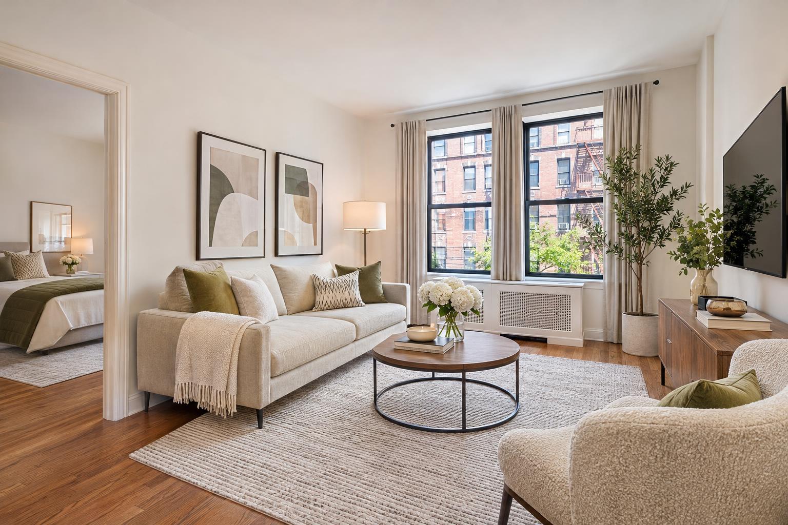
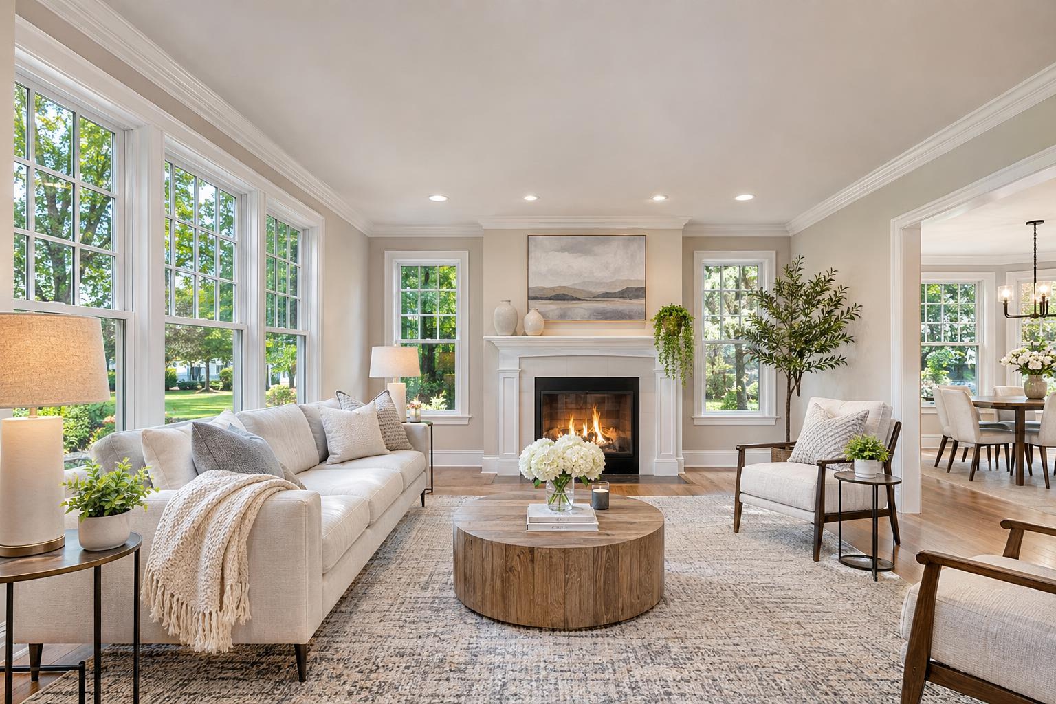
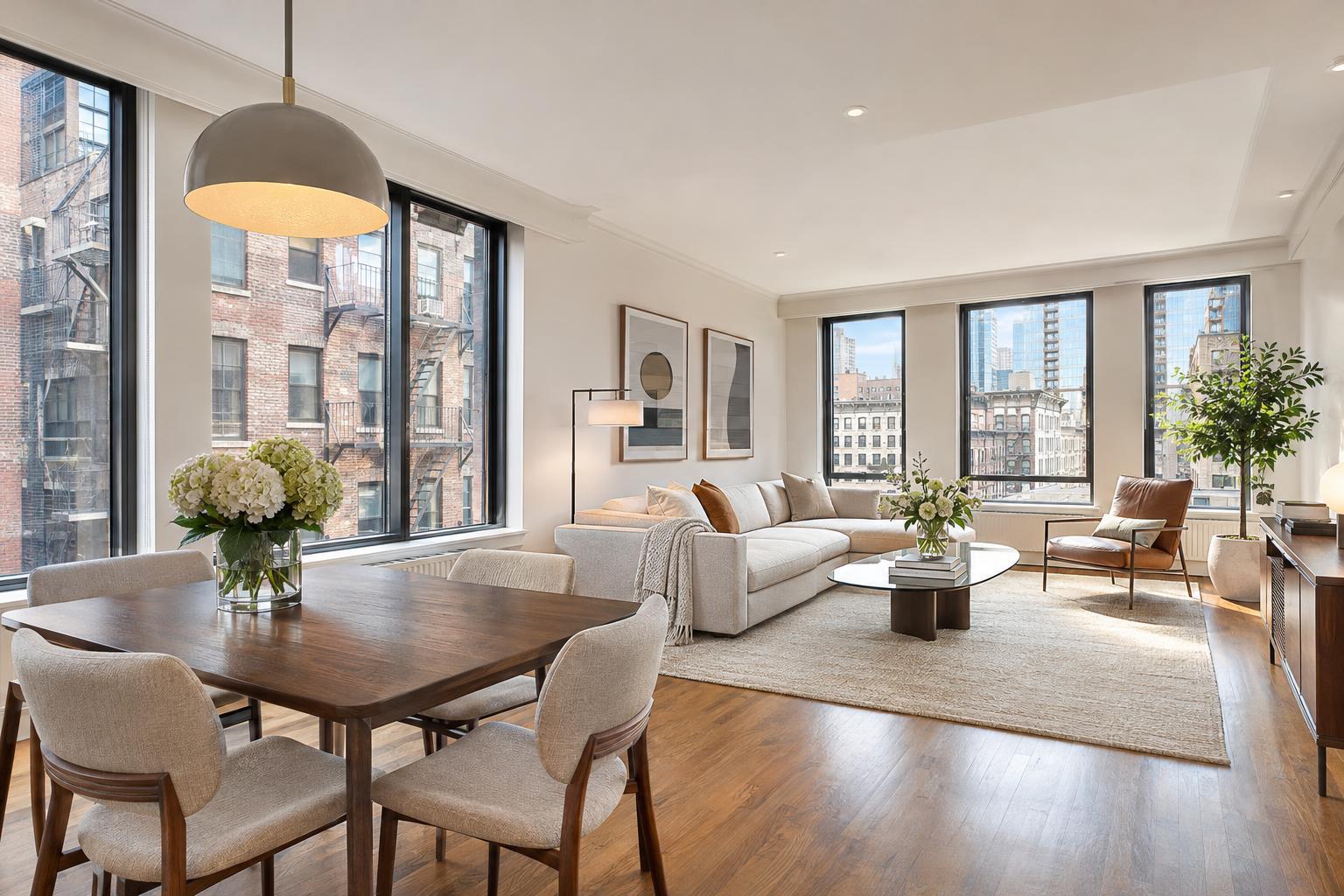
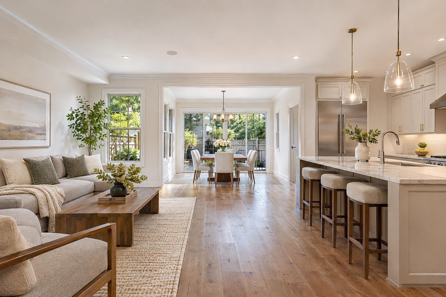
Properties with newly renovated kitchens, premium finishes, original millwork, bright interiors, or beautifully staged rooms are best shown at eye level. Compact townhomes or urban apartments with little unique exterior context usually don’t benefit from overhead shots. The same goes for many rental units, especially when the selling point is layout or renovation quality rather than location or view.
Target the aerial budget towards listings where an exterior view shows something a ground photo cannot. Ground-level photography remains the foundation of most professional marketing sets—showing tangible spaces buyers or tenants will actually experience.
Aerial Photos vs. Drone Video: Different Tools for Different Needs
It’s easy to think of drone work as one package, but aerial stills and drone video each serve distinct purposes:
Aerial Stills
Overhead and elevated stills work well for property galleries, brochures, offering memorandums, and social media. They allow buyers, tenants, or investors to visually inspect lot layout, architecture, access, and surrounding features at their own pace. A carefully composed photo often conveys more practical information—such as layout and proximity—than a video flyover. These stills are most effective when the property needs a clear, static overview.
Drone Video
Drone video adds motion and flow—great for creating a visual journey to, through, or around a property, such as showing the approach from the shoreline or panning across a commercial site. For listing videos, aerial clips are best used as a supplement to on-site interior and exterior coverage, not as the sole content. Each type of footage supports a different part of the listing’s visual narrative.
At RealtaSnap, listing videos are always captured on location—not created from slideshows of still photographs—so every movement, from drone approach to walk-through, reflects the reality of the space.
Preparing a Property for a Drone Shoot
Aerial cameras see much more than just the front door and curb appeal. They capture everything down to roof details, side yards, driveways, and even unexpected items on site.
Practical prep steps for a smooth drone session include:
- Moving vehicles from driveways or curbside parking where possible
- Tidying up outdoor spaces—patios, decks, pool areas, and furniture
- Securing lightweight décor (umbrellas, flags) that might move in the wind
- Rolling up hoses and removing yard equipment or toys
- Closing garage doors or storage units not meant to be highlighted
- Alerting occupants or site contacts before the scheduled shoot
- Confirming access to any locked outdoor areas, roof decks, or larger sites
The goal is to present an honest, market-ready exterior in line with the quality of your interior marketing images.
Flight Feasibility: What Agents Need to Know About NJ Drone Operations
Not all locations can be approved for drone flights. Safe and legal aerial media depend on the site’s characteristics and the day’s conditions—drone work isn’t scheduled strictly by address. Key feasibility factors include:
- FAA regulations and airspace classifications
- Proximity to airports or heliports
- Controlled or restricted airspace zones
- Dense pedestrian areas
- Power lines, trees, or construction activity
- Site access and safety
- Weather (wind, rain, visibility) on the day of the shoot
- Security or access limitations (urban rooftops, private gated sites)
Drone services are always subject to pilot discretion on site. Even with advance planning, a professional team may determine that a flight is unsafe or technically restricted when they arrive. Urban settings often require additional coordination, and having roof access improves but does not guarantee the ability to fly.
Strategic Drone Coverage: Building Your Visual Story
Drone imagery is most powerful when it fits cleanly into your listing’s broader marketing story. Start with a property-specific plan: What message does the aerial view need to deliver? For a suburban estate, it may show backyard size and relation to the home. For a shore listing, its direct path to the beach or marina. For an urban development or commercial corner, context and visibility to main roads or key amenities.
A well-constructed aerial set might include:
- A wide establishing shot to set the scene
- Elevated angles showing property shape, footprint, or yard features
- Lower views highlighting exterior design or architectural details
- Context shots with relevant nearby features (parks, water, retail)
- Close-ups of amenities like pools, decks, courts, or driveways
Avoid filling your gallery with similar overhead views; instead, focus on shots that visually corroborate what you’re emphasizing in the copy and ground photography.
The Takeaway: Purposeful Drone Photography for New Jersey Listings
Drone photography is best seen as a practical media decision for listings where an aerial perspective reveals something critical to the property’s value—scale, access, water, privacy, or architectural significance. It is not a box to check for every home, condo, or commercial space.
For properties with more to show than a ground lens can capture, RealtaSnap provides aerial stills and drone video as part of our real estate photo and video services for the entire New York City and New Jersey region. Curious whether your next listing would truly benefit from aerial media? You can view more about our approach to aerial real estate media at RealtaSnap’s drone services.
If you have an upcoming listing and want real-world advice on whether a drone flight adds marketing value, the team is here to help. Visit www.RealtaSnap.com.
FAQ
Question: What kinds of New Jersey properties are best suited for drone photography?
Answer: Drone coverage is typically a strong fit for listings with substantial lots, notable backyard features, waterfront access, or distinctive architectural design. It’s also helpful for commercial sites where showing layout, parking, and access routes is important. Compact homes or units without major exterior context may benefit more from traditional photography.
Question: Are there any situations when a scheduled drone shoot might not happen?
Answer: Yes. Drone flights are contingent on safety, weather, FAA regulations, airspace feasibility, and pilot discretion. Conditions like rain, high wind, restricted airspace, or unforeseen obstacles can mean a flight isn’t possible even after booking. RealtaSnap reviews feasibility case by case on the day of the shoot.
Question: What should be done to prepare a property for drone photography?
Answer: Before your drone shoot, we recommend clearing vehicles from driveways, tidying outdoor spaces, securing loose items, and making sure areas like yards or rooftops are accessible if needed. Good prep ensures the aerial imagery matches the quality of your other listing media. For more tips, visit the RealtaSnap photography prep guide.