When Is Drone Photography Worth Adding to a New Jersey Real Estate Listing?
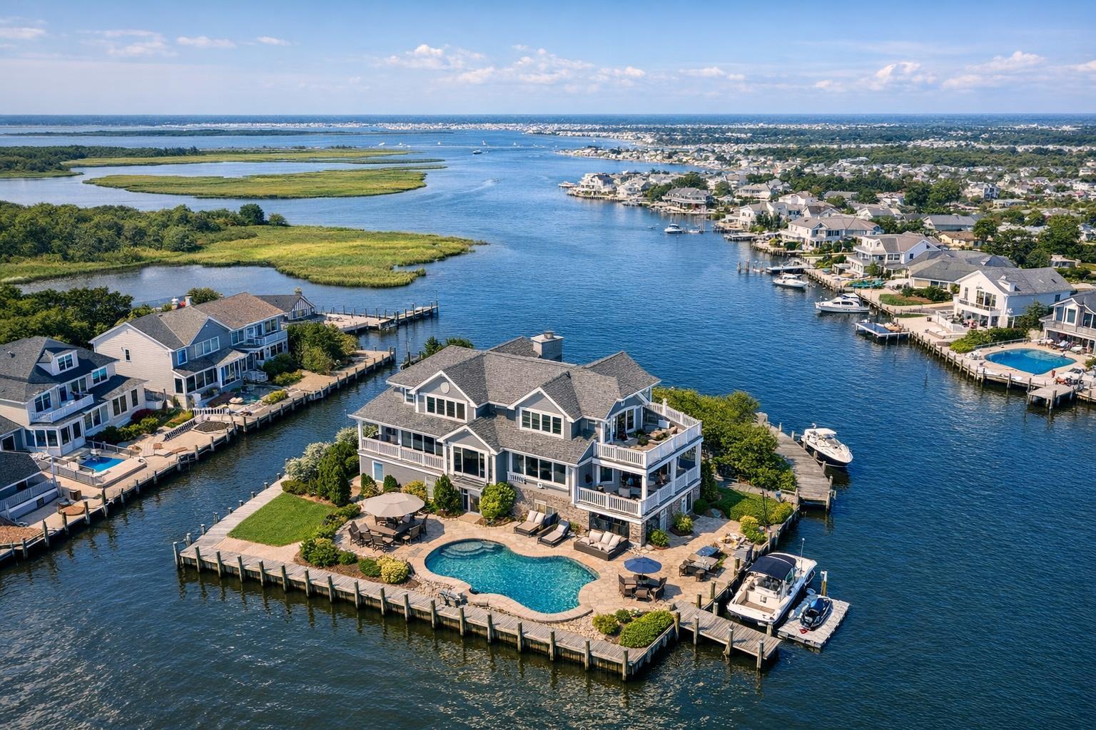
Drone photography in NJ captures a large waterfront house surrounded by a serene landscape of canals and neighboring homes.
When Is Drone Photography Worth Adding to a New Jersey Real Estate Listing?
Drone photography NJ is quickly becoming an essential question for anyone preparing to market a property in New Jersey, especially for agents, brokers, developers, and owners who want buyers to understand more than what fits in a ground-level frame. The right aerial image helps communicate not just what a property looks like, but how it fits into its setting—giving viewers context that traditional photography alone can’t always deliver.
For many professionals, deciding whether to add aerial real estate photography involves weighing which visual details genuinely help tell a property’s story, which features really benefit from an overhead view, and when standard exterior photography might remain the smartest choice. Here’s how experienced media teams think through that call.
What Aerial Media Adds to a Listing
Professional exterior photography is still the gold standard for entryways, curb appeal, landscaping, outdoor spaces, and architectural details from a familiar perspective. But real estate drone photography NJ makes its mark by revealing property relationships that just aren’t as clear from the ground.
Consider what drone photos can uniquely show:
- The true size and boundaries of a lot, especially when shape matters
- Proximity to water, parks, golf courses, or other sites that drive value
- A home’s position on a cul-de-sac, a corner, or a prominent parcel
- Outbuildings, pools, decks, garages, or large driveways—seen together in one shot
- Architectural scale, symmetry, and rooflines at a glance
- The footprint and environment of multifamily properties or new developments
- Commercial layouts, parking, access routes, loading areas, and surrounding businesses
- Views or settings that are best understood with some height
These are the kinds of questions buyers will often ask—where is the house in relation to the water? How private is the yard? Where’s the nearest park? Aerial photography’s job is to answer them visually.
Types of Properties That Benefit Most
New Jersey covers everything from dense urban blocks to laid-back shore towns and sprawling suburbs, so the impact of drone media varies.
Suburban Homes and Larger Lots
Listing a home on a sizable lot? For properties with substantial land, traditional photography may struggle to clearly show boundaries, tree coverage, detached structures, or how spaces relate. A carefully framed aerial image can highlight long driveways, private entrances, pools, sport courts, or even how the house tucks into wooded acreage.
Jersey Shore and Waterfront Properties
For homes along the coast, a drone photo can reveal what’s truly special—the exact relationship to the bay or beach, proximity to a dock, or just how the outdoor space opens up to those water views. An overhead shot can capture not just the house but the lifestyle buyers are seeking.
Distinctive Architecture and Complicated Exteriors
Certain homes—especially those with striking rooflines, courtyards, multi-level terraces, or complex layouts—offer stories that aren’t visible at street level. Drone perspective helps potential buyers grasp both design and setting when the ground view feels too one-dimensional.
Multifamily and Commercial Listings
Multifamily buildings and commercial sites can be hard to explain in just a few exterior shots. Aerial imagery puts the building’s footprint, extra structures, parking, and surrounding streetscape in context, which helps buyers and tenants understand orientation and scale. For commercial real estate, showing parking, loading, site circulation, and access points from above can be as important as illustrating the building itself.
When Standard Photography Makes More Sense
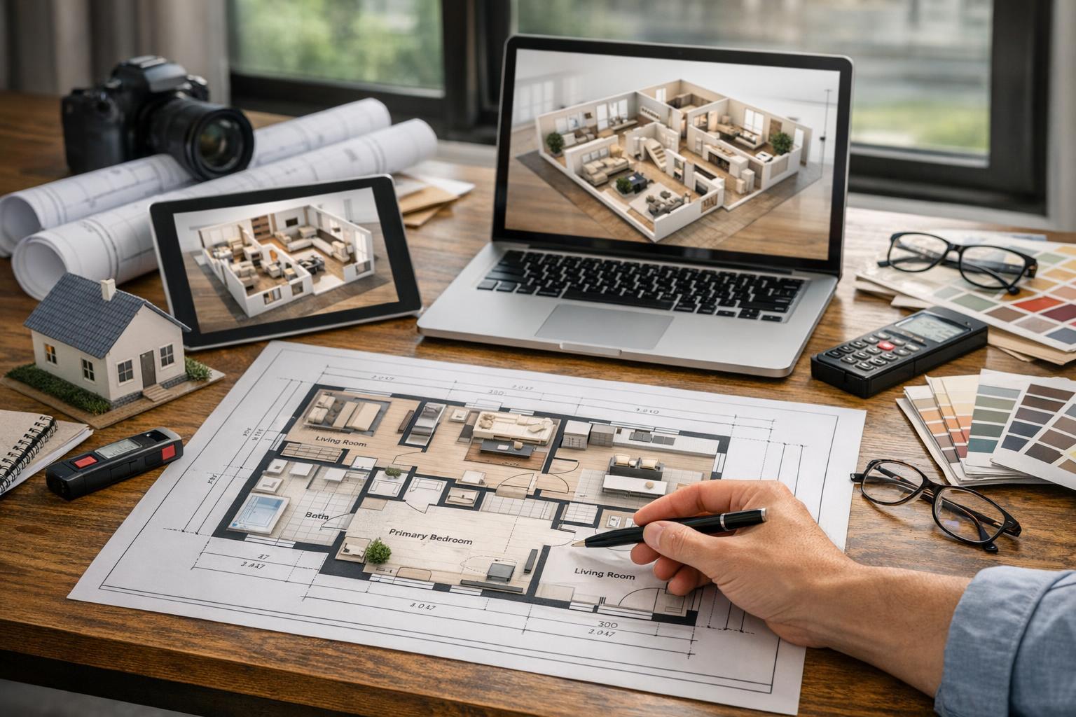
While aerial media offers a huge advantage for certain properties, not every listing demands it. For smaller homes or condos on very tight lots, where the main story is interior renovation or upscale finishes, ground-level photography— maybe supplemented with a floor plan or quick video—often communicates the lifestyle and layout more effectively.
Drone coverage may be less impactful when:
- The lot is small and has little separation from neighbors
- Surrounding rooftops add more clutter than context
- Trees or nearby buildings block a clean elevated view
- The story is mainly about interiors or a renovation
- Permitting, airspace, or weather make drone flights impractical
For example, a compact townhouse on a city block may be best captured with a strong front exterior shot and detailed interior coverage. Adding an aerial may not add any story that helps buyers make decisions.
How Professionals Decide: Key Considerations
From an experienced media perspective, the best listings are not built on the largest assortment of photos and videos, but on assets that clarify what’s truly unique about a property.
A simple decision process can help, especially before booking:
- Does the property’s setting, land, access, or views set it apart?
- Would a drone photo answer common buyer questions about the layout or surroundings?
- Are there features—like a pool, dock, large deck, outdoor entertaining area, or outbuilding—that make the site hard to explain from ground level?
- Is the architecture best appreciated with an overhead or high-angle view?
- Is the property commercial, multifamily, or complex enough that orientation is confusing without aerial context?
If the viewpoint adds needed clarity—context, scale, or location—then aerial media is a strong candidate. If not, focused traditional photography may do the job.
Why Drone Feasibility Is Always Property-Specific
Even when drone photography makes sense for the property, not every location in New Jersey can support a safe, legal, and practical drone flight. For every aerial project, feasibility is reviewed individually, and several factors must align:
- FAA airspace regulations
- Weather and wind on the scheduled day
- Physical access and safe takeoff/landing space
- Local restrictions or permit requirements
- Safety of people and property nearby
- Building or roof access for dense environments
For waterfront or exposed sites, changing conditions may shift a shoot window at the last minute. Controlled airspace or restricted locations may require additional authorization. If municipal or special permits are needed, those become the client’s responsibility to secure.
This review process isn’t a barrier—it’s simply how responsible, professional drone coverage is done.
Drone Photos, Video, or Both?
Still aerial photos and aerial video answer different kinds of questions. Photos are best when you need a clear, shareable visual—say, to demonstrate lot lines, the relationship to local amenities, or a home’s placement in its environment. Video captures motion: the approach to a home, sweeping shoreline views, or the scale transition from entry road to structure.
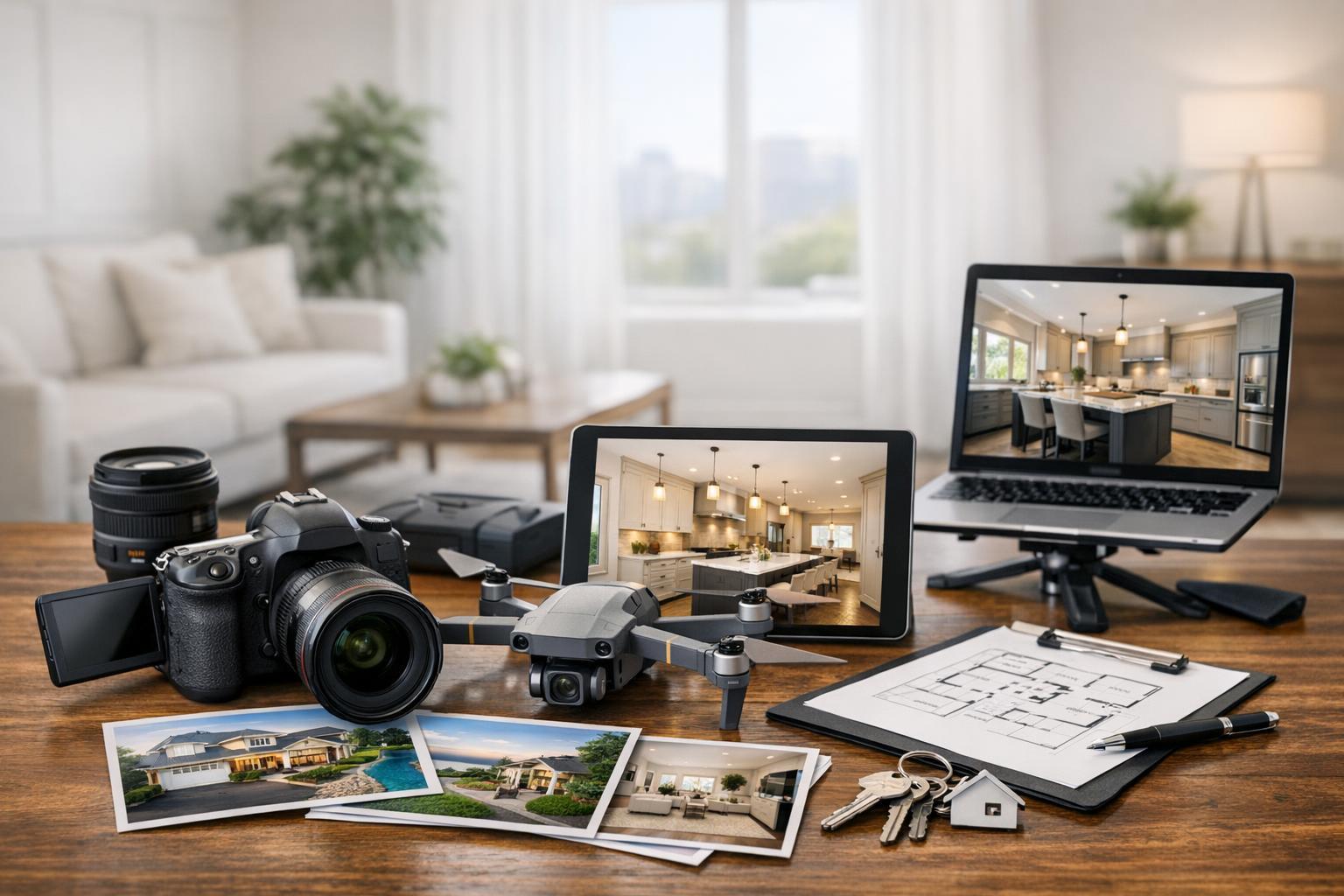
RealtaSnap offers three main options for drone media:
- Drone photos (10 HDR images, with sky replacement if needed) – $209
- Aerial video (1-minute 4K video clip) – $229
- Combined aerial photo and video package – $299
Which to choose? If your listing’s big visual story is a pool, the lot, or waterfront, a few professional HDR stills often do the job. For commercial or development listings with scale, or properties where motion makes a difference, both photo and video may be worth the investment.
More details on RealtaSnap’s drone services
Preparing for an Aerial Shoot
Because drone photos reveal much more of a property at once, preparing isn’t just about the front entry—every visible exterior area will show. It’s wise to:
- Tidy driveways, walkways, decks, patios, yard, and pool
- Remove trash, recycling bins, hoses, toys, yard equipment
- Arrange or remove cars that might block a view
- Store pool covers, landscaping supplies, construction materials
- Clean up roof decks or terraces if included
Commercial listings might also think about delivery activity, signage, parked vehicles, and visible access ways. The goal isn’t to hide reality, but to remove distractions so the principal features are in focus.
Treat the Aerial View as a Strategic Asset
Professional drone images are most valuable when they directly answer a likely buyer question or clarify something critical about the property. If the aerial perspective supports the listing’s main message—waterfront, privacy, orientation, commercial layout—it earns its place as an asset, not just an extra.
If you’re considering aerial media for an upcoming New Jersey listing, RealtaSnap reviews every property and flight scenario as part of our planning process, ensuring that any drone flight is both practical and genuinely adds value to your presentation. Explore all professional real estate media options at RealtaSnap, or book your next shoot online.
FAQ
Question: What types of New Jersey listings don’t benefit much from drone photography?
Answer: Listings on small lots with little separation from neighbors, homes in dense areas where an aerial shows mostly rooftops, or properties where interior details are the biggest selling point usually don’t need aerial media. For these, strong ground-level photography or a floor plan often tells the story better.
Question: How much do professional drone photos or video cost with RealtaSnap?
Answer: Drone photo packages (10 HDR images) are $209, aerial video is $229, and combined photo-plus-video is $299. All pricing is based on feasibility, site access, and safe flying conditions on your scheduled date.
Question: What if my property is in a restricted airspace or has tough flight conditions?
Answer: RealtaSnap assesses flight feasibility based on FAA rules, safety, airspace, local restrictions, access, and weather. Not every site is flyable, so if additional permits are needed, they’re the client’s responsibility. We’ll confirm what’s possible before finalizing your aerial shoot.
For more details or to check availability, visit www.RealtaSnap.com.