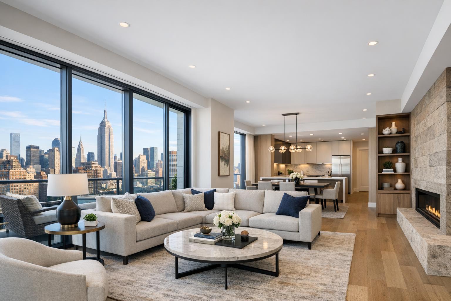
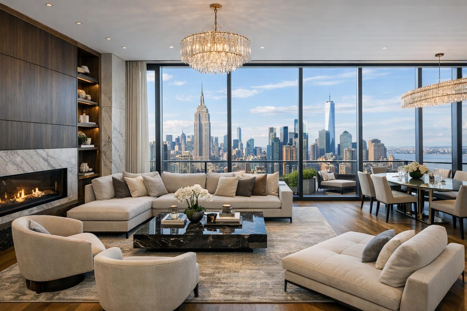
The Evolving Role of Drone Photography in New York City’s Real Estate Market
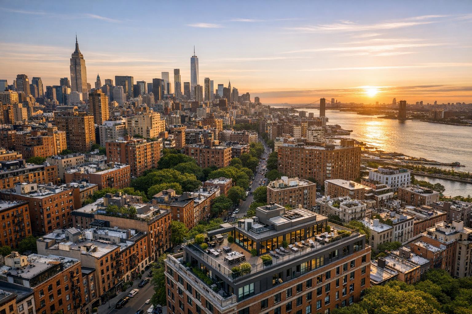
Drone photography captures a stunning cityscape with vibrant real estate overlooking a river at sunset.
Introduction
Drone photography real estate services have quickly become an essential part of modern property marketing, especially in fast-paced markets like New York City and New Jersey. With more buyers starting their search online, exceptional visual media—such as aerial real estate photography—can set a listing apart, providing a sense of place and scale that standard photos simply can't match. In this post, you’ll learn how drone photography nyc is elevating listings, why top agents and owners invest in professional aerial imagery, and practical details on what makes these services effective in the competitive NYC/NJ market. If you’re looking for proven ways to make your listings stand out, understanding the value and process of drone work is crucial.
The Real-World Problem
Capturing attention online is harder than ever. Without high-quality drone photography for real estate, agents and owners often face:
- Listings that struggle with low click-through rates and weak first impressions.
- Exterior photos limited to street level—making it tough to highlight a property’s unique position, lot size, views, or neighborhood appeal.
- Empty or awkwardly framed photos that don’t help buyers visualize themselves in the space.
- Media that underplays the scale of multi-unit, commercial, or luxury properties.
- Gaps in storytelling, where context—like proximity to parks, waterfronts, or city highlights—isn’t visible from ground level.
- Frustration due to inconsistent branding, slow delivery, or images that look washed out, distorted, or poorly color-balanced.
Especially in NYC, where spaces are compact, street visibility is limited, and skyline views are a premium feature, flat photos miss critical buyer triggers. Time and again, we’ve seen listings go stagnant because they fail to communicate what makes the property special—particularly from above.
What Experienced Media Teams Know
Experienced real estate media professionals understand that the success of drone photography real estate lies in nuance and preparation:
- Lighting Timing: The best aerial images tend to be shot late morning or late afternoon to avoid harsh shadows or blown-out highlights, especially around tall buildings.
- Room & Roof Preparation: For authentic results, we coordinate with building management for roof access and coordinate shot lists that match both the agent’s goals and flight regulations.
- Framing Choices: Urban drone flights often mean threading the line between FAA rules and client needs, shaping each shot to maximize skyline, courtyard, or river exposure without losing scale.
- Window Exposure Balance: Professional drone photographers ensure that sunlight glinting off windows or water isn’t distracting, using bracketing or HDR workflows so exteriors have punch without distortion.
- Editing Consistency: Post-production corrects perspective errors common in high-angle exterior work and ensures that every drone photo aligns with the property’s broader visual identity.
- Turnaround Workflow: Top teams commit to 24–48 hour delivery, knowing that stale listings are often the result of sluggish media rollouts.
- Regulatory Awareness: In NYC, airspace is highly regulated and dense; not every property can be photographed freely. Professionals vet flight feasibility, secure required clearances, and communicate camera angles that comply with safety and privacy expectations.
The bottom line is: this work is never just “point and shoot.” Each successful shoot reflects planning, respect for regulations, close agent communication, creative framing, and technical skill.
How RealtaSnap Solves It
At RealtaSnap, we know the stakes of visual storytelling in NYC and New Jersey. Our workflow is shaped by hands-on field experience:
- Practical Planning: Each project starts with a tailored consultation to identify key property features and set realistic aerial goals.
- Regulatory Compliance: All our drone operations follow FAA Part 107 guidelines. We conduct site-specific checks for airspace restrictions, secure roof access where feasible, and advise when municipal permits or additional authorizations are needed.
- Technical Excellence: Our fleet captures ultra-sharp 4K and HDR drone photography and videography. We use blue-sky replacement techniques when weather doesn’t cooperate and ensure images are color-balanced to match your listing’s overall branding.
- Visual Consistency: Every aerial and ground photo is professionally edited—vertical lines are corrected, perspective is true, and colors are inviting, never garish.
- Speed & Ease: We offer 1-hour drone photo or video packages (starting at $209 for 10 aerial images; all prices and information are subject to change. Information is deemed reliable but not guaranteed). Most media is delivered within 24–48 hours. Our booking system is straightforward—whether online or via mobile app. You can start a booking at www.realtasnap.com in minutes.
- Agent Collaboration: We don’t just hand over media—we advise on gallery order, property feature highlights, and how to use aerial content for the highest impact on MLS, Zillow, and custom websites.
- Service Area: RealtaSnap offers drone photography nyc, across all boroughs and throughout New Jersey, with secondary coverage extending to Westchester and select upstate markets.
Ready to elevate your listing? Discover more about our expert drone solutions at www.realtasnap.com/drone-photography-videography-nyc.
Benefits of Choosing RealtaSnap:
- Fast 24–48 hour media delivery for listings.
- FAA-certified pilots; compliance with NYC/NJ airspace laws.
- HDR and blue-sky imagery for stunning visual impact.
- No hidden fees or last-minute “rush” surcharges.
- Drone photos, video, and combo packages available.
- Consistent visual branding across all photo/video edits.
- Booking is simple online or via mobile app.
- On-demand agent support and on-site troubleshooting.
- Honest, field-tested advice on feasibility and shot selection.
- Operations in NYC, NJ, and select nearby markets.
Why This Matters in the NYC / NJ Market
NYC and New Jersey are unlike any other regions when it comes to real estate. In NYC, vertical living, landmark views, rooftop amenities, and riverfront location can add massive value to a listing—but only if those features are visually communicated. Neighborhood identity (proximity to the High Line, closeness to transit, skyline orientation) might be the factor that clinches a deal, but ground-level photos simply can’t capture it. Meanwhile, New Jersey offers sprawling grounds and planned communities where aerial real estate photography brings out privacy, pool setups, and neighborhood context.
Buyers here expect polish; even rental markets are ultra-competitive. High-caliber drone work signals to buyers and tenants that your property stands apart. And for commercial listings—multifamily, office, or hospitality—aerial images give out-of-market investors confidence in scale, access routes, and surrounding context.
Comparison with Traditional or Lower-Quality Alternatives
Phone photos, street-level snapshots, or generic media providers might seem budget-friendly upfront, but the drawbacks are real:
- Limited Perspective: Without aerial shots, critical lot details—rooftops, amenity decks, parking layouts—are lost.
- Inconsistent Quality: Low-end, rushed providers cut corners on editing, turnarounds, or FAA compliance, exposing agents to fines or unusable media.
- Weak Storytelling: Random, unplanned drone photos add clutter, not clarity. Listings stagnate when buyers can’t picture how a property fits into its context.
- Delivery Delays: Piecemeal workflows slow your marketing launch, costing critical days in a fast-moving market.
RealtaSnap clients avoid these pitfalls by choosing a specialized team that knows both the technical and business demands of NYC/NJ real estate marketing.
Conclusion & Call to Action
Drone photography real estate services are shaping the next chapter of property marketing in NYC and New Jersey. By leveraging aerial real estate photography, you transform not just your listing’s look, but its overall performance—drawing more eyes, sparking more emotional connections, and accelerating buyer engagement. If you want every angle covered by a team grounded in real-world experience, discover how RealtaSnap’s drone photography nyc services can spotlight your property’s true potential. See the difference quality aerial imagery makes at www.realtasnap.com.
Frequently Asked Questions
1. What if my building has rooftop restrictions or is in a no-fly zone?
Many NYC and NJ properties are in controlled or restricted airspace. Our FAA-certified pilots assess feasibility beforehand, communicate transparently about what’s possible, and always respect safety and privacy rules. If drone work isn’t allowed at your location, we’ll suggest effective alternatives—so your listing still gets the highlight it deserves. RealtaSnap handles the process so you’re never left guessing.
2. How quickly will I get my drone photos or video?
For most shoots, RealtaSnap delivers professionally edited aerial media within 24–48 hours. Our team understands the urgency of listing schedules, and we’re committed to a fast, reliable workflow—including last-minute jobs. We’ll keep you updated every step of the way, so you never lose momentum.
3. Why not just use my own drone or a cheaper provider?
DIY or discount drone attempts bring risks—technical errors, regulatory violations, and media that underwhelms or can’t be used on MLS. RealtaSnap combines expert piloting, advanced editing, and full regulatory compliance. You’re guaranteed high-impact aerial visuals and a seamless experience, from booking to final delivery.
If you want your next listing to soar above the rest—start with RealtaSnap’s proven, professional approach to drone photography real estate in NYC and NJ.