How to Choose Drone Photography Near You for a Real Estate Listing
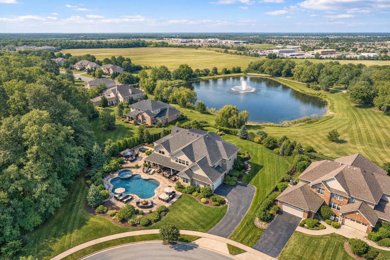
Drone photography captures a picturesque suburban landscape featuring large homes, lush greenery, a sparkling pool, and a serene pond with a fountain nearby.
How to Choose Drone Photography Near You for a Real Estate Listing
Searching for drone photography near me means more than just finding a local provider—it’s usually the first step in deciding if aerial media is genuinely useful, feasible, and safe for a particular real estate listing. For many properties, a professional aerial perspective can clarify what ground-level photos simply can’t, from the relationship of a home to its lot, to the context of a building within its neighborhood. But the process is never automatic, especially in complex markets like NYC and New Jersey.
When Aerial Property Photography Makes a Real Difference
One of the first questions we encourage agents and property professionals to ask: What unanswered question or unique feature will aerial imagery help illustrate for your audience? Aerial property photography isn’t about dramatic shots for the sake of novelty. It’s about giving potential buyers, tenants, or investors clear answers that standard photography might leave out.
Aerial coverage is most practical when it provides information you simply can’t communicate from the ground, such as:
- Showing the layout of large lots, landscaped areas, pools, or multiple outdoor spaces
- Highlighting waterfront locations, marinas, or direct water views
- Placing a property within its actual land—especially if scale or separation from neighbors matters
- Connecting rooftop amenities or decks to skyline views
- Revealing the footprint or site access of commercial or mixed-use buildings
If your listing revolves around interior features or has no visible amenities on the roof or lot, a carefully composed set of interior and standard exterior photos may serve you better than an aerial add-on.
The Value of Context: What Drone Images Can Show
The best aerial photos are intentional. In practice, they clarify features that would otherwise be hard to explain or even see with traditional imagery:
- Homes with Land or Outdoor Features: A single aerial photo can show how a backyard, pool, garden, or separate guest cottage fits together. In many NJ suburbs, a wide, well-maintained lot looks much more impressive (and honest) from above.
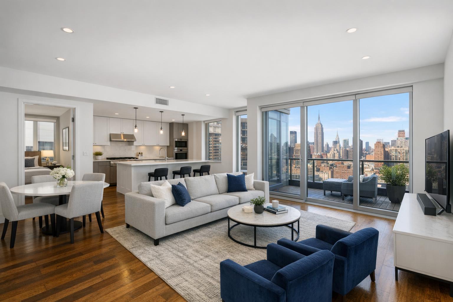
- Waterfront, Views, and Rooftops: Shoreline properties, apartments next to parks, or condos with rooftop lounges benefit from the elevated perspective. Drone images can establish that critical connection to water, green space, or city skyline in a single frame.
- Commercial and New Developments: Aerials are especially helpful when illustrating parking, loading zones, or the relative placement of multiple buildings on a site. For new developments, progress shots and broader context can be invaluable to investors and buyers who need to understand the scale.
In every case, the intent isn’t to exaggerate a property’s features but to clarify them for decision-makers.
Location Matters: Navigating the Airspace in NYC vs. New Jersey
If you’ve worked in both NYC and New Jersey, you know the environment can change the aerial equation from straightforward to complex overnight. In Manhattan and the boroughs, buildings are dense, airspace is controlled, and finding a safe, legal location to launch or land is anything but routine. Rooftop amenities might look incredible from the air, but feasibility depends on everything from FAA restrictions to real-time coordination with building management.
New Jersey properties are typically less constrained: more open space, fewer airspace restrictions, and more options for launching safely. Still, even in the suburbs, a provider needs to vet nearby airports, utilities, public roads, weather, and even the property’s physical accessibility.
Working with a media team that thoroughly assesses these variables is critical. “Near me” isn’t only about travel distance—it’s about actual local environmental knowledge and preparation.
What Determines If a Drone Flight is Possible?
Despite growing demand, real estate drone work can never be fully promised in advance. The feasibility of an aerial shoot comes down to several factors:
- Airspace classification and available FAA authorization
- Local municipal or building-specific restrictions
- Real-time weather changes—wind, rain, low visibility, and other conditions can all delay or cancel flights
- Takeoff and landing zones that are safe and accessible
- Proximity to people, vehicles, power lines, and other obstacles
- Necessary access (including rooftops or gated entrances)
- Temporary restrictions, construction, or special events near the site
- On-site conditions as assessed by the pilot on shoot day
Some locations, especially in NYC, may require special permits outside of standard FAA authorization. In cases where a municipal or event permit is required, arranging those details falls to the client—most real estate media providers (including RealtaSnap) do not handle city or event permits. If appropriate permits can’t be secured, the flight may need to be postponed or declined.
Ultimately, it’s best to approach drone media as a planned part of your listing strategy rather than a last-minute add-on. Give your provider advance notice so there’s time to assess feasibility at the specific address.
Key Considerations When Contacting a Drone Provider
Selecting a drone provider should move beyond browsing aerial galleries. The right partner will ask detailed questions up front, and help set realistic expectations for your property. Before booking, have a conversation around:
- What specific features will benefit from aerial coverage in this listing?
- Has the address been checked for airspace or access issues?
- Is the requested work for real estate marketing, or for engineering/inspection?
- What’s included in the photo or video package?
- How will non-flyable conditions (weather, access, airspace) be handled?
- Does the provider require you to arrange permits, building entry, or roof access?
- Can the pilot make a final go/no-go safety call on the scheduled day?
An experienced team can be confident in their process—and transparent about what’s beyond anyone’s control. It’s also helpful for you to share special site notes up front: Is the rooftop locked? Is there a courtyard gate? Is the property behind a security checkpoint, or undergoing construction? A collaborative approach sets everyone up for a smoother shoot day.
Photos, Video, or Both? Matching the Format to the Property
Different listings call for different formats. Aerial photos are effective when you need a handful of impactful stills for the MLS, a brochure, or website. These stills quickly establish a property’s layout or proximity to key features.
Aerial video goes further, offering movement—think of a slow approach to a beach home, a reveal of a rooftop terrace, or a smooth orbit around a commercial complex. Video demonstrates relationships and scale that a photo can’t always communicate.
For some listings, a combined package makes sense, with both aerial photos and a brief video delivered. Photos cover the essentials for print and web, while the video can be used as a social media teaser or in a full property tour.
To see RealtaSnap’s current aerial media options and pricing for NYC and New Jersey, please visit RealtaSnap’s drone services page or the real estate photography FAQ.
Prepping for a Successful Aerial Shoot
Preparing the site isn’t just about tidying up before ground-level photos. From the air, certain exterior details—driveways, patios, vehicles, and even pool furniture—become far more visible than clients often expect. Here are a few operational steps to consider ahead of an aerial shoot:
- Move vehicles and any temporary items from driveways or visible outdoor areas where practical
- Store away bins, hoses, tools, and outdoor clutter
- Tidy patios, decks, and pool spaces
- Confirm that any needed gates, roofs, or courtyards will be unlocked or accessible
- Coordinate advance access with building staff if needed
- Identify any ongoing construction activity or temporary obstructions
A bit of exterior organization can help ensure the aerial media truly represents the property’s best impression.
RealtaSnap: Local Aerial Media for NYC & New Jersey Professionals
RealtaSnap serves both NYC and New Jersey with locally informed drone photo and video options for real estate listings. Every project is reviewed for address feasibility, airspace, safety, access, and weather—there’s never a guarantee of flight until the actual logistics are confirmed.
To check feasibility or book aerial services, you can start by entering your property details online at www.RealtaSnap.com. Including useful site notes—such as access instructions or unique considerations—can help avoid delays and allow for a smoother, safer shoot.
For properties with exterior features, waterfront settings, rooftop amenities, or commercial footprints, professionally produced aerial media adds valuable context that ground-based media can’t deliver. For dense urban sites, the first step will always be a feasibility check before making aerial imagery part of the marketing plan.
FAQ
Question: Can drone photography be added to any listing in NYC or New Jersey?
Answer: Not automatically. Airspace, weather, access, local restrictions, and property-specific factors can determine whether a drone flight is safe and approved. Every address should be assessed individually, and sometimes the answer is simply that an aerial shoot isn’t possible.
Question: How do I know if my property is a good fit for aerial photography or video?
Answer: Drone media is especially helpful for listings with large lots, remarkable views, waterfronts, rooftop amenities, or commercial features that are hard to capture from the ground. If your property’s story benefits from seeing it in context, it might make sense to consider aerial coverage. If not, strong ground-level photography might be all you need.
Question: What’s required of me as the client to prepare for a drone shoot?
Answer: It’s important to provide accurate property details during booking, including any access notes, gate codes, or rooftop policies. On shoot day, making sure exterior spaces are clean and accessible can help the results. For locations requiring permits, arranging those ahead of time is up to the client.
For more information or to see approved drone service options, visit www.RealtaSnap.com.