How Drone Photography is Revolutionizing Real Estate Marketing in NYC
Drone photography captures a stunning view of a cityscape featuring a prominent bridge, river, and densely packed real estate at sunset.
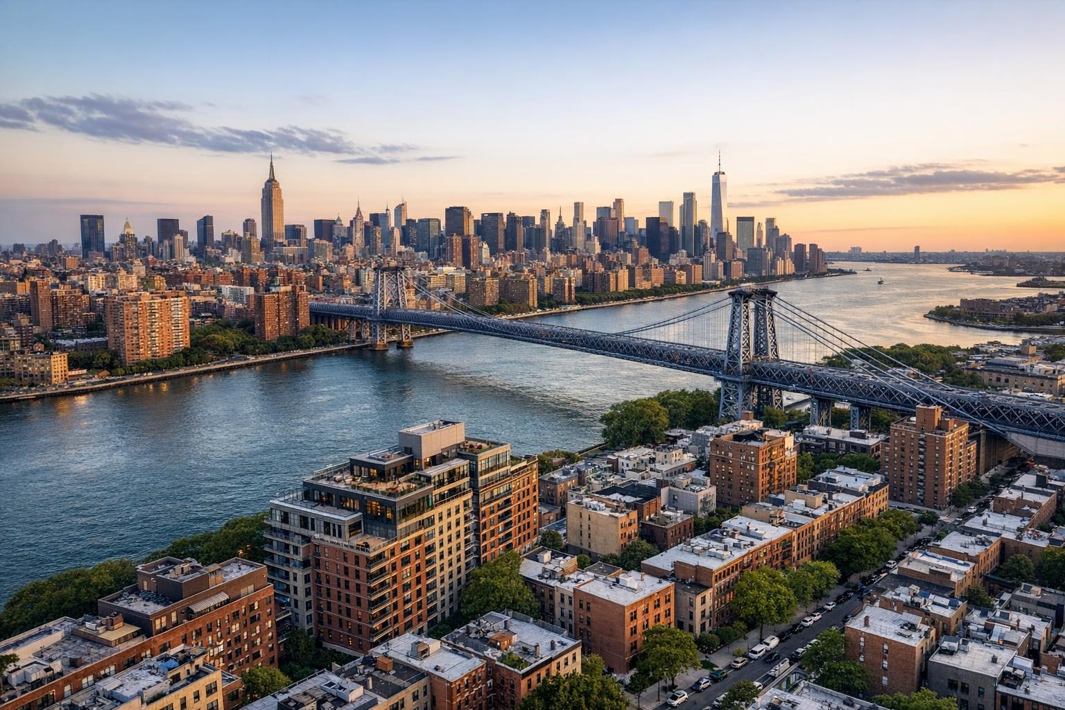
How Drone Photography is Revolutionizing Real Estate Marketing in NYC
Drone photography real estate marketing gives property listings something they can’t get from ground-level images: context and perspective. In New York City, where space is dense, outdoor areas are coveted, and skyline views can mean the difference between high and higher value, aerial real estate photography helps tell the full story of a property in a way that words or interior photos simply can't.
For agents, property owners, and developers working across NYC, New Jersey, and nearby markets, understanding when and how to use drone photography—and how to prepare a property for it—has become an essential part of competitive listing strategy. The right aerial imagery delivers clarity, not just drama. It makes an urban penthouse terrace, a brownstone garden, or a New Jersey waterfront lot easier for buyers to understand, long before they tour in person.
Why Aerial Perspective Has Real-World Value
Traditional property photography covers interiors, architectural details, and curb appeal—important features for any listing. But drone photography NYC work highlights something different: how a property sits within its environment. That context is especially important in tightly packed neighborhoods, on blocks with unique character, or in markets like Jersey City and the Hudson waterfront, where outdoor space and surrounding views add serious value.
Some real estate features are difficult or even impossible to convey from the sidewalk or a typical first-floor window, such as:
- Private roof terraces and landscaped rooftops
- Unique corner locations or building facades
- Proximity to significant parks, waterfronts, or open areas
- Full-block, skyline, or landmark views
- Rear gardens and spacious outdoor entertaining areas
- Oversized parcels or newly developed sites
- Commercial properties with visible access or parking infrastructure
An aerial shot taken with a professional drone can visually place a townhouse garden alongside neighboring green spaces, or show buyers precisely how far a condo terrace sits above the street. That’s information buyers want, and it’s often the difference between a viewer clicking through to book a showing versus moving on to another listing.
Using Drone Media to Highlight What Makes a Property Stand Out
The most successful aerial real estate photography doesn’t just fill a gallery slot; it solves specific challenges. In our experience, the biggest wins come when aerial shots clarify features that buyers tend to miss in ordinary galleries—especially if those features justify a premium price or make urban living more appealing.
- Outdoor Areas That Deserve Attention: In NYC, a private terrace, roof deck, or even a small backyard is a selling point. Aerial imagery can document these spaces in a single, organized frame, making it easy to see their full footprint, connections to the residence, and their relationship to the streetscape or skyline.
- Location as a Visual Story: Descriptions can only do so much. For listings where proximity is a draw—near Prospect Park, along the Jersey Shore, or in walkable urban neighborhoods—aerial angles can show just how close the property is to notable landmarks or green spaces, providing context without turning the listing into a map.
- Communicating Scale and Shape: A facade shot from the sidewalk can suggest size, but aerial views actually reveal it. Whether it’s a standalone home in New Jersey, a row of attached brownstones, or new construction with expansive rooftops, aerials make scale, grouping, and architectural lines much clearer.
Operational Tip: Preparing for the Shoot
Before drone capture, it's important to clear terraces, rooftops, and yards of moveable clutter and arrange exterior furniture intentionally. This avoids distractions that will be even more visible from above. Coordination with building management for roof access is often key—especially in NYC, where controlled launch locations are limited and safety guidelines must always be followed.
Technology, Planning, and the Realities of Urban Flight
Modern aerial real estate photography uses compact, stabilized drones able to create high-resolution stills and smooth video flyovers. But getting quality results in urban settings like Manhattan or Brooklyn is about much more than flying a camera overhead. The difference comes from controlled operator movement, careful planning, effective composition, and professional editing.
Depending on the property, effective aerial coverage may include:
- Elevated exterior images of the front, rear, or side
- Angled shots balancing property detail with neighborhood context
- Near-level images that show off decks and terraces
- Wide establishing shots, especially for suburban or waterfront properties
- Video segments for visual transitions from the property to its setting
Editing matters: Finished images benefit from thoughtfully adjusted color, natural lighting, and architectural lines that remain straight and accurate. Good drone video relies on smooth, steady movement rather than cinematic speed, allowing viewers to take in the architectural relationships and view lines.
Operational Tip: Feasibility Is Address-Specific
Not every NYC or North Jersey property is flyable every day. RealtaSnap evaluates properties case by case—airspace, local restrictions, weather, building and roof access, and surrounding pedestrian or vehicle traffic all factor in. Sometimes drone work is simply not possible, which is why experienced teams always perform a site-specific feasibility check and never guarantee aerial coverage before confirming logistics.
Where Aerial Imagery Makes the Most Sense
Drone photography should add value, not just aesthetics. In New York City and New Jersey, it’s most useful for:
- Townhouses and Brownstones: These properties often hide incredible rear gardens, roof decks, and distinctive architecture that standard angles can’t capture.
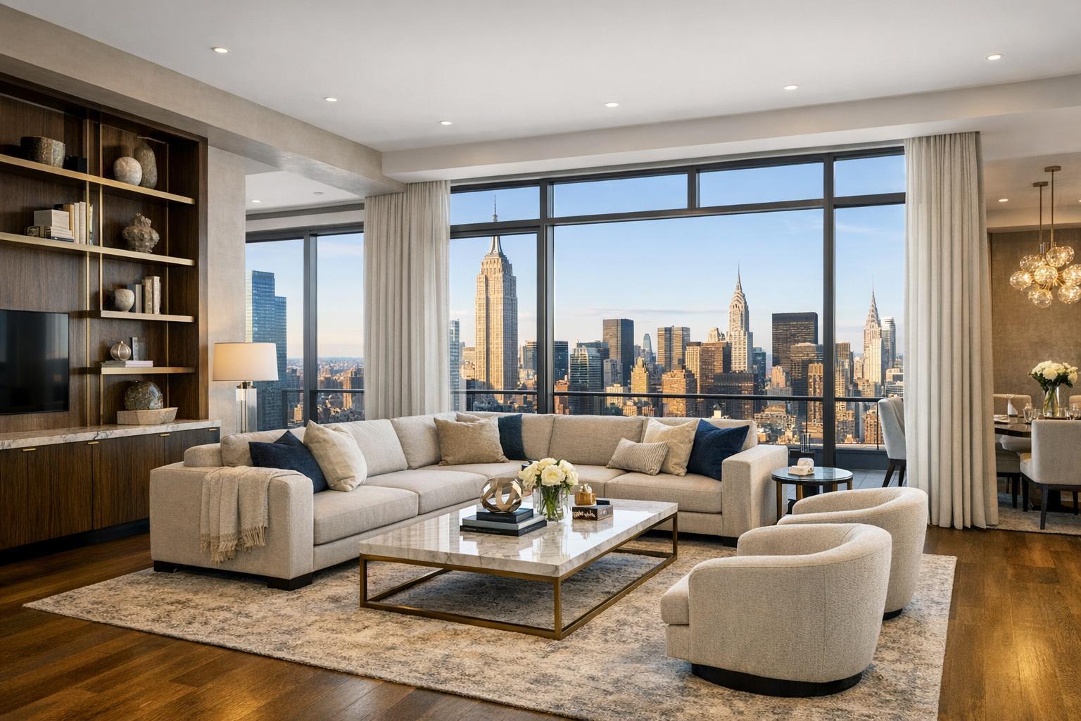
- Penthouses and Upper Residences: Height and surrounding context matter. Showing proximity to parks, skyline views, or nearby amenities can set listings apart—but only when flight conditions are safe and access is available.
- Waterfront and Suburban Estates: Drone media is the best way to cover larger lots, highlight water access or docks, and reveal spacious surroundings that drive value outside the city core.
- New Developments and Large Sites: Developers often rely on drone coverage to show how projects connect to their block, infrastructure, or neighborhood amenities.
Navigating Drone Regulations in NYC and NJ
Working in major metropolitan areas comes with unique drone restrictions. Professional drone photography must comply with all applicable FAA Part 107 rules—plus local requirements, weather constraints, nearby airports, and strict site-specific safety checks. Especially in NYC, roof access often unlocks the possibility of a successful flight, but even then, safe operation must come first.
Key points to consider:
- Not all addresses can be flown on any given day.
- Site logistics, access, and permitting need to be confirmed before promising aerial media.
- Clients are responsible for permits beyond standard FAA authorization, including any municipal or event-specific requirements.
- Pilots retain the right to decline a flight when safety cannot be assured.
Drone work, when feasible, should be treated as a valuable and sometimes limited service. Professional planning and realistic expectations protect everyone involved.
Integrating Aerial Media into the Complete Listing Package
The most effective use of drone photography comes when it’s paired with strong interior, exterior, and (when helpful) floor plan or 3D tour coverage. The goal: give buyers a sense of place, layout, and possibility—whether they’re viewing a Brooklyn brownstone or a Montclair estate.
A complete media package might include:
- Interior and exterior photos for room-by-room understanding
- Drone stills and video for context and scale
- On-site walkthrough video, where appropriate
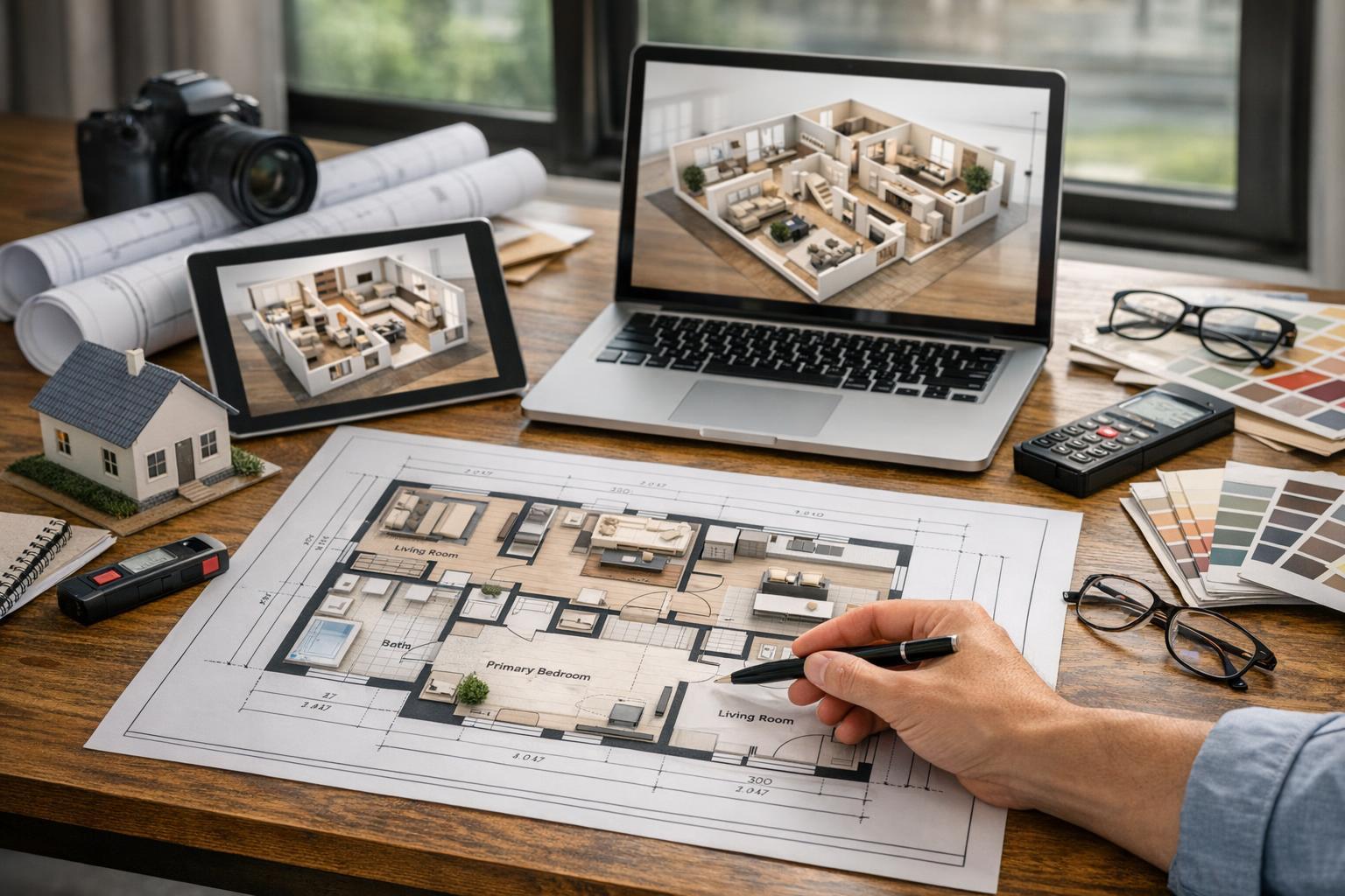
- Floor plans for spatial clarity
- 3D tours for remote exploration of the space
Not every listing needs everything. A small studio or an apartment with limited exterior advantages may not benefit from drone coverage. However, any property with significant outdoor features, land, or unique location context likely will. You can learn more about NYC drone photography and aerial services here.
Operational Tip: Consistency in Storytelling
Aerial images should blend visually with the rest of the gallery. Color, lighting, and architectural lines should feel like part of the same professional presentation—not a disconnected scene. Thoughtful sequencing also matters: start with the most compelling interior or exterior shot, then let aerials add depth to the narrative, rather than overwhelming the initial impression.
Working with a Professional Drone Photography Company
Drone photography for real estate is its own discipline—not just point-and-shoot but a service rooted in safety, planning, and storytelling. When selecting a provider, ask whether they:
- Evaluate the property’s specific airspace, access, safety, and weather before confirming a shoot
- Coordinate aerial and ground images for a unified gallery
- Offer a clear process for building or roof access, particularly in urban high-rises
- Have a plan for alternate coverage if drone flight isn’t possible
RealtaSnap delivers drone media as part of a broader suite of professional real estate photography and marketing solutions across NYC and New Jersey, always prioritizing site-by-site feasibility, operational safety, and visual consistency. See complete listing media options for more details or to plan your next project.
Aerial Images Should Have a Clear Purpose
The best drone photographs do more than look dramatic—they answer questions no interior photo can, showing potential buyers what makes a property’s setting, outdoor areas, or architectural appeal unique. For NYC and New Jersey listings, aerials bring practical value: helping buyers visualize spaces, understand layout, and appreciate context.
If you’re preparing a property with roof access, an exceptional view, or a feature that deserves to be shown from above, drone photography real estate coverage can be a strategic advantage when approached professionally. If you’re looking for guidance or planning your next listing, explore your options and booking information at www.RealtaSnap.com.
FAQ
Question: Is drone photography legal everywhere in NYC and New Jersey?
Answer: No, drone operations are tightly regulated. Feasibility depends on FAA rules, local restrictions, airspace, building access, weather, and pilot safety. Site-specific checks are always necessary before confirming aerial coverage.
Question: What types of properties gain the most from aerial real estate photography?
Answer: Drone shots offer the highest value for listings with outdoor features (roof decks, gardens, terraces), unique locations, waterfront or large lots, commercial sites, and properties where visual context adds meaning. Not every property will benefit.
Question: Does every listing need drone images for a complete marketing package?
Answer: No. Drone media is most valuable when it provides clear context or reveals features that aren’t obvious from ground-level shots. For many city apartments focused on interiors, drone work is optional. Listings with exterior amenities, scale, or surroundings that matter visually are the strongest candidates.