Elevate Your Listings: The Power of Drone Photography for NYC Real Estate
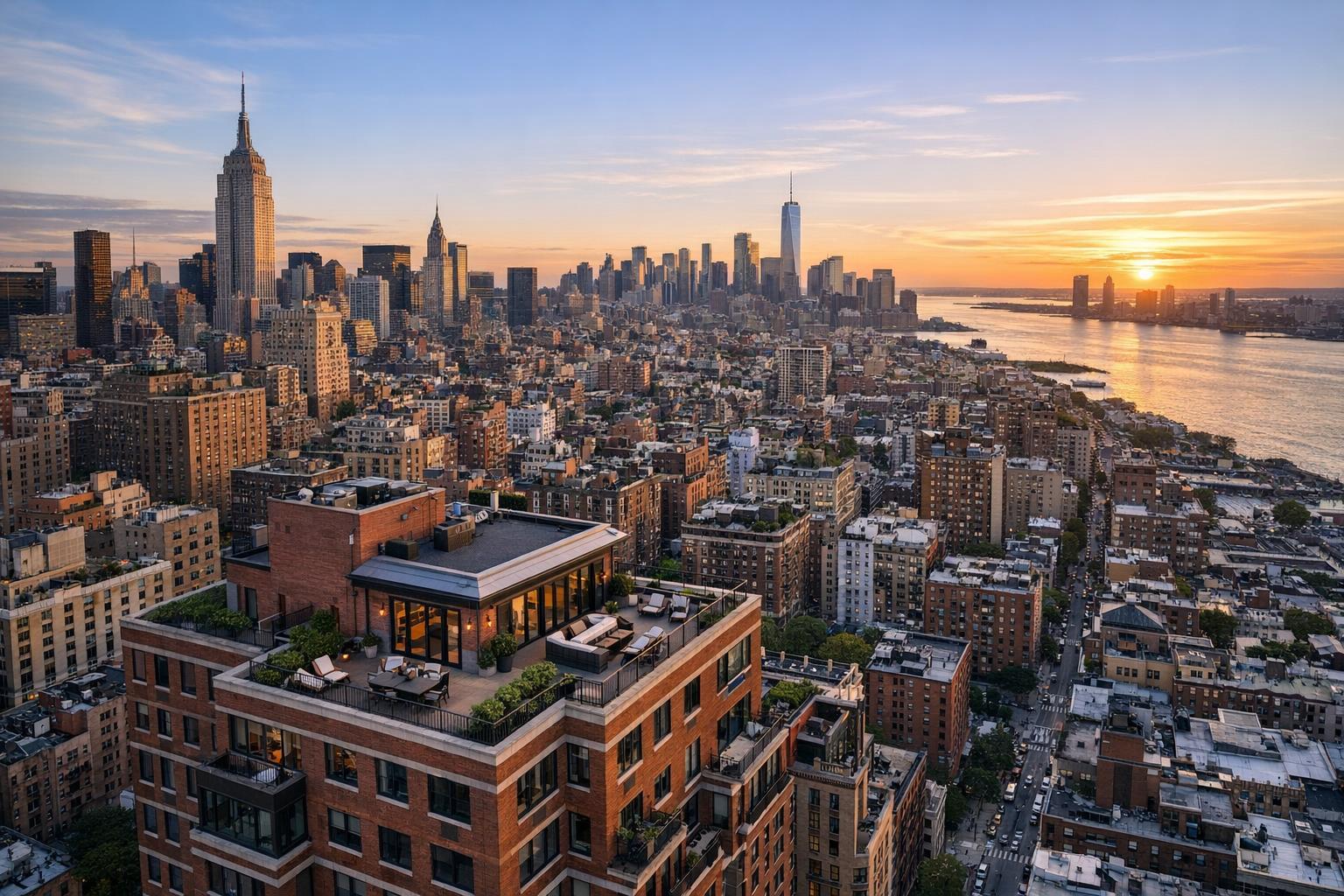
Drone photography showcases New York City's bustling skyline at sunset, with iconic skyscrapers and the Hudson River in view.
Elevate Your Listings: The Power of Drone Photography for NYC Real Estate
Drone photography in NYC has become a practical necessity for showcasing residential and commercial properties in their true context. More than just a stylistic choice, aerial imagery offers clear, location-specific advantages in one of the country’s most distinct and visually complex real estate markets. Effective use of drone services can set a listing apart, build early interest, and give buyers, tenants, and investors a much clearer sense of what makes a property unique.
Why Aerial Perspective Changes the Game in NYC
The experience of marketing a property in New York City or New Jersey comes with its own set of challenges. Buildings are often tightly spaced, architectural detail varies dramatically, and a listing’s “story” almost always extends beyond interior walls. Traditional room-by-room photography is essential, but it often struggles to communicate overall scale, outdoor amenities, or how a building relates to its neighborhood.
Aerial real estate photography captures all of this at once:
- The physical footprint of a building
- Rooftop amenities, terraces, gardens, pools, and patios
- Nearby parks, waterfront, notable streetscapes, and local landmarks
- Entry points, driveways, parking arrangements, and loading areas
- The manner in which a property fits into—or rises above—its surroundings
An elevated vantage point makes these details visual and immediate. Instead of a buyer trying to piece together clues from maps, text, and a series of separated photos, one well-chosen aerial image can provide full context in a single glance.
When Does Drone Photography Make the Most Impact?
Not every property needs aerial coverage. In our experience, drone photography is most valuable when a listing features outdoor amenities, a location that matters to buyers, or a scale that’s difficult to capture from the ground. Depending on the property type, the reasons for choosing aerial imagery change:
Residential Listings
For many NYC homes and condos, what happens outside the front door is often just as marketable as what’s inside. Consider these common scenarios:
- Brownstones and Townhouses: Gardens, roof decks, and distinct facades often play a major role in buyer interest. An overhead image connects these features visually.
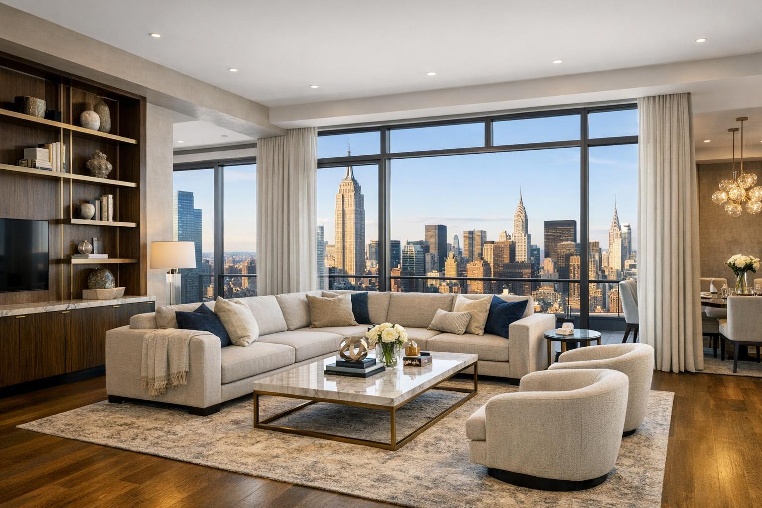
- Penthouse Apartments: Showing the relationship between a private terrace and the Manhattan skyline is difficult to capture from inside—but a drone image communicates it instantly.
- Waterfront or Near-Park Properties: Buyers want to see proximity to open space and natural features. Aerial photography highlights access and views more effectively than ground-level shots.
- Larger New Jersey Homes: Expansive lots, pools, and outbuildings are often best appreciated from above, where landscaping and site design become obvious.
Matching each image to the property’s narrative is critical. Sometimes a broad establishing shot sets the scene at the start of a gallery, while a tighter aerial detail calls attention to a backyard oasis or private rooftop late in the sequence.
Commercial and Mixed-Use Properties
New York City and New Jersey commercial properties pose a different set of visual requirements. Site access, parking, visibility, and proximity to transit all factor into a prospective tenant or investor’s decision.
Aerial media is especially useful for:
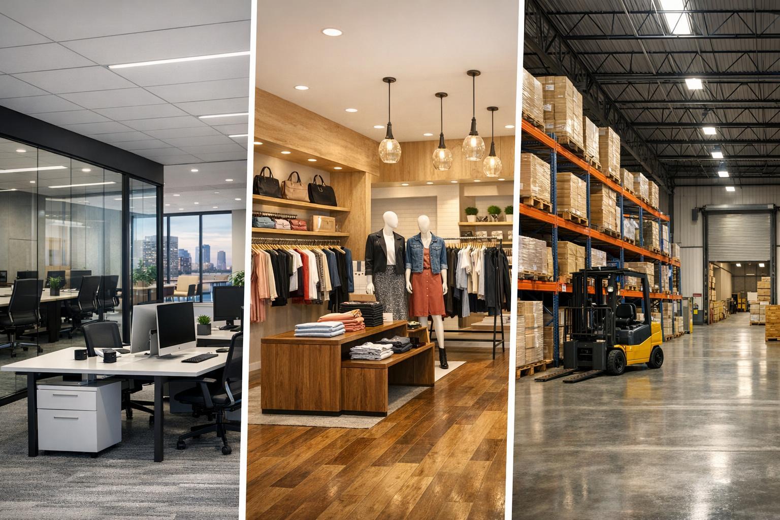
- Retail corners and freestanding sites where parking, signage, or exposure matter
- Industrial or warehouse properties with loading zones, driveways, and storage yards
- Multifamily buildings that benefit from showing shared amenities or transit connections
- Development sites where a clear view of lot boundaries, setbacks, and nearby projects matters
Carefully chosen drone images provide a comprehensive overview—replacing the need for multiple ground-based photos, descriptions, or separate diagrams.
What Makes an Effective Drone Shoot?
Capturing useful aerial content goes beyond launching a drone and taking as many photos as possible. In a city as dense and visually vibrant as NYC, intentional planning and selectivity are key. RealtaSnap approaches each shoot with these principles in mind:
- Begin with an establishing shot that frames the property within its neighborhood.
- Use lower angles where the building’s facade, outdoor entries, and street relationship are important.
- Prioritize top-down images when boundaries, parking, or amenities need to be clearly defined.
- Include close-up details of rooftop areas, gardens, or architectural features when relevant.
- Sequence aerial clips intentionally if producing video, revealing the site and its context before moving the viewer inside.
This property-specific approach ensures drone imagery supports—not overwhelms—the core story of the listing. For compact homes or city apartments, fewer targeted aerials are usually enough. Larger estates or commercial sites might merit broader coverage.
Honesty in Aerial Real Estate Photography
Professional standards in drone photography for real estate are grounded in clear, accurate representation. Dramatic angles and wide sweeps can be compelling, but they’re most effective when aligned with the property’s actual layout and surroundings.
A few principles shape trustworthy aerial visual media:
- Emphasize relevant features without cutting out local context.
- Maintain honest proportions so that terraces, patios, or rooftop areas remain recognizable.
- Supplement, rather than replace, ground-level photos to present the full picture.
- Choose views and editing styles that match the property and its intended audience.
One common pitfall is showing a property in isolation, which can mislead viewers about privacy, scale, or neighborhood character. Keeping drone photography informative and clear leads to better results for all parties.
NYC Drone Feasibility Considerations
Drone operations in New York City aren’t automatic. Real-world feasibility depends on airspace restrictions, access to rooftops, nearby airports or heliports, crowded pedestrian areas, ongoing construction, and weather conditions.
At RealtaSnap, every drone request is reviewed on a case-by-case basis. We prioritize safety, legal compliance (FAA Part 107 regulations), and respectful use of shared airspace. Roof access can help, but even then, successful flights depend on current circumstances. Properties in New Jersey have their own airspace and site-access factors.
If aerial shots aren’t feasible, ground-based photography and on-site video still offer strong options for presenting exterior context. The most effective media plan matches what can be safely and accurately captured at the actual address.
For more details on our current approach to drone feasibility, visit our NYC drone photography page.
How to Prepare a Property for an Aerial Shoot
Property preparation doesn’t end at the front door—especially for drone coverage. Simple actions make aerial images cleaner and more informative:
- Move cars away from driveways and visible exterior spots.
- Remove trash bins, loose materials, and temporary signs from outdoor areas.
- Straighten patio furniture, umbrellas, and other movable items.
- Clear away landscaping equipment, service tools, or construction material.
- Confirm access for all outdoor amenities you’d like emphasized.
- Notify necessary building contacts for rooftop or restricted-area entry.
For commercial sites, consider highlighting loading zones, signage, seating, and points of entry. Weather will always be a factor—overcast days sometimes offer more even lighting, though safety comes first in all flight decisions.
For more preparation guidance, see the RealtaSnap property prep guide.
Coordinating Drone with Other Listing Media
Aerial photos and video reach their full value when coordinated with other visual formats:
- Professional listing photography presents rooms, fixtures, and ground-level curb appeal.
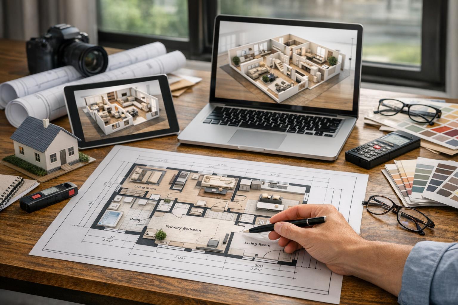
- Floor plans add spatial logic, helping buyers understand how it all fits together.
- On-site video can blend drone movement with walkthrough footage for a complete narrative.
- 3D virtual tours allow remote exploration of interiors when appropriate.
Each listing has different needs—sometimes strong interior photography is enough. Properties with meaningful exterior spaces, expansive sites, or unique outdoor amenities usually benefit from a well-planned blend of ground and aerial capture.
Working with a Drone Provider in NYC and New Jersey
Choosing a drone partner isn’t about glitz—it’s about clear, property-specific visual communication. When considering drone services, it’s helpful to ask:
- What exterior or location detail will aerial content actually clarify?
- Is the location suitable for safe flight under current airspace and weather conditions?
- Is still photography, video, or both best-suited for this listing?
- What building access or on-site planning will be required?
- How will drone content integrate with the rest of the property’s photo and video assets?
- What alternate media is possible if drone coverage isn’t available?
At RealtaSnap, we offer aerial photo, video, and combined packages for NYC and New Jersey, all subject to operational feasibility. Our team can help evaluate whether aerial media is appropriate for your next listing.
Bringing the Property’s Setting Into View
A well-executed drone image goes beyond making a listing “pop.” It gives viewers an accurate sense of how a building, site, or amenity fits within its real urban or suburban context. For properties with genuine exterior features, site advantages, or distinctive surroundings, aerial photography isn’t just eye-catching—it’s informative.
If you have an upcoming NYC or New Jersey listing and want to discuss potential for drone coverage, visit www.RealtaSnap.com to explore your options.
FAQ
Question: Is drone photography appropriate for every NYC property?
Answer: Drone coverage is most helpful when a property has significant exterior features, location context, rooftop access, or a site layout that adds value to the listing. For interior-focused apartments without much exterior story, strong ground-level photography is usually a better use of resources.
Question: What determines if a drone can fly at my property?
Answer: Several factors affect feasibility: airspace rules, weather, site access, pedestrian activity, building conditions, and the drone pilot’s judgment. Each address in NYC or New Jersey is reviewed individually for compliance and safety before scheduling a drone shoot.
Question: Should I choose drone photography, drone video, or both?
Answer: Still photographs are important for online listing galleries and marketing materials. Drone video helps when movement and site reveal matter, such as highlighting how a building sits on a large site or connecting amenities. Many agents select both for properties with multiple exterior features or broad marketing plans.