Drone Photography NYC: What to Consider Before You Book
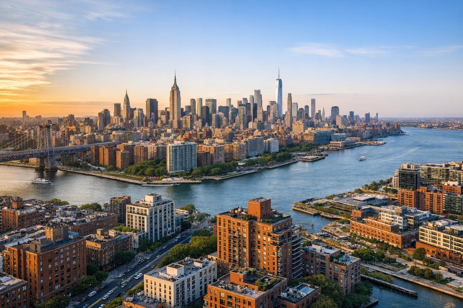
Drone photography captures the vibrant NYC skyline at sunset, showcasing the iconic buildings and waterways.
Drone Photography NYC: A Practical Guide for Real Estate Listings
Drone photography NYC is increasingly a subject of discussion among real estate professionals who want their marketing to stand out—especially in a city where every square foot and sightline matters. Yet, deciding whether aerial imagery genuinely adds value to a listing isn’t always straightforward. At RealtaSnap, we’ve worked with a wide range of properties across NYC, New Jersey, and neighboring markets, and we’ve seen what does (and doesn’t) make for effective real estate drone photography. If you’re a broker, agent, developer, or property owner weighing aerial media for your next listing, here’s a grounded look at what matters most.
When Aerial Real Estate Photography Is Actually Useful
A well-captured aerial image can reveal context you simply can’t get from ground-level shots: the building’s relationship to its neighbors, a rooftop deck, a direct view down to a backyard or pool, or the proximity to water, parks, or transit corridors. In a dense, visually layered environment like New York City, these perspectives often require thoughtful execution.
But not every property benefits equally. Here are situations where bringing in a drone can be worth considering:
- The property has a usable or visually interesting rooftop, terrace, or large outdoor space
- There’s direct or easy access to a waterfront, marina, or major park
- The lot size, grounds, or outdoor amenities are hard to showcase fully from the ground
- Distinctive architecture or a location in proximity to recognizable local landmarks
- A setting with skyline, bridge, or long-range views
- Commercial, multifamily, or campus-style buildings where scale and layout matter
Aerial images are at their best when the viewpoint clarifies something about the property’s value proposition—not just when they dazzle for the sake of it. For listings with strong indoor features and less compelling exteriors or sightlines, standard photography, floor plans, or video walkthroughs may tell the story more effectively.
Example: Thoughtful Planning for Listing Media
At RealtaSnap, our process is to help identify if the unique elements of a property truly require aerial context. For instance, a Manhattan penthouse with a private roof deck typically benefits from at least one or two considered drone shots showing the terrace in relation to the skyline. By contrast, a mid-floor co-op with no outdoor space or distinguishing view is almost always better served with bright, professional interiors and a clear floor plan.
The Realities of Flying in New York City
One of the most important things we stress: drone feasibility varies dramatically by property and submarket. Some locations are straightforward. Others, particularly in Manhattan or near airports and heliports, may be subject to no-fly airspace, special authorizations, complex building access needs, or logistical challenges that simply make drone coverage impractical—or even impossible—on a given day.
Some real-world drone considerations in NYC and New Jersey include:
- Airspace classification and FAA Part 107 compliance
- Authorization and flight restrictions near airports, heliports, or sensitive infrastructure
- Local regulations or temporary event-related restrictions
- The safety and feasibility of launching from a restricted urban site versus a private rooftop
- Building management, super, or HOA requirements for vendor access
- Weather, wind, and ever-changing urban microclimates
Drone flights are always handled case by case, and pilot discretion is central. Even with preliminary research, some decisions about aerial capture simply have to wait until the team is on-site and able to fully assess conditions. We never guarantee drone coverage before review.
Operational Insight: Roof Access Has Outsize Impact
In practice, roof access—when legitimate and safe—can greatly improve the odds of a successful shoot in NYC. A controlled, open roof area reduces risk and gives the pilot better sightlines than trying to fly from a congested sidewalk or courtyard surrounded by tall buildings. For this reason, we recommend clients confirm:
- That they can provide approved roof or terrace access during the scheduled window
- Whether management requires documentation or notice (some buildings need a COI, advance scheduling, or a staff escort)
- If the actual access area is physically large, open, and free of obstacles
A clear plan in advance prevents wasted trips and helps everyone focus on producing the best-possible imagery.
Contrasts Across Manhattan, Brooklyn, and Beyond
Manhattan’s vertical density and stricter airspace regulations make it the borough where drone coverage is most likely to require strong justification and logistics—the best candidates here tend to be top-floor units with verified private roof access and sightlines worth sharing. Brooklyn brings its own quirks: brownstones with landscaped yards, roof decks, or rarer waterfront addresses often allow for distinctive aerial shots, but each block is different, and nearby tall structures or busy streets can complicate things.
In the Bronx, Queens, Staten Island, and nearby New Jersey, larger lots, less vertical crowding, and more detached homes make drone imagery more widely applicable—but every address should still go through site-specific safety and feasibility checks. Even with more space, authorization and safety planning are non-negotiable.
Weather: The Uncontested X-Factor for Drone Shoots
Weather is a constant wild card for real estate drone photography in NYC and New Jersey. Beyond the obvious rain-outs, high winds—especially among tall buildings—can make a safe, smooth shoot impossible. Even on clear days, shifting clouds may affect lighting and results. Flexible scheduling is crucial if drone capture is a priority for your listing.
What’s Included with RealtaSnap Drone Services?
For clients considering aerial real estate photography, it’s important to know what’s offered and where those deliverables fit in your overall listing package. RealtaSnap’s most-requested options are:
- 10 HDR aerial photographs, including sky replacement if needed, currently $209
- 1-minute polished, edited 4K drone video for $229
- Combined 10-photo and 1-minute video package for $299
These options are designed for marketing residential and commercial listings, not for technical or engineering assessment. We focus on capturing the features that matter for buyers: views, outdoor spaces, architecture, and property context.
To see full pricing and available services, you can view all services and book online.
What To Share When Asking for a Drone Assessment
The more context you can provide up-front, the better. Here are the details that truly help when requesting an aerial assessment:
- Property type and listing status (active, coming soon, off-market)
- Features you want highlighted (roof deck, yard, pool, proximity to water or landmark)
- Exterior photos or simple cell phone shots for planning
- Roof, terrace, or yard access availability
- Building contact points if special access or notice is needed
- Any known rules for vendors, insurance, or restricted access
- Desired shoot or launch window
If drone work isn’t feasible for a specific address, we’ll recommend the most effective alternative coverage and keep your listing visually competitive.
Planning Media Around What the Property Really Offers
One of the most valuable lessons from years of producing real estate media in the NYC area: the most effective listing presentations match the media strategy to the property—not to a fixed component list or package. Drone shots, interiors, video, and floor plans all have their place, but the right blend is property-dependent. For some, a dramatic aerial opener makes the difference. For others, solid conventional photography and a floor plan will do more to communicate real value.
If you want to discuss aerial, video, or other RealtaSnap media for a listing in NYC, New Jersey, or select neighboring areas, visit www.RealtaSnap.com and share your specifics. We’ll review conditions, offer practical feedback, and deliver media designed to showcase what’s actually there.
FAQ
Question: Can you guarantee drone photos for every NYC property?
Answer: No. Drone coverage always depends on site-specific factors like airspace, building access, safety, local restrictions, and pilot discretion. Some properties—especially in certain parts of Manhattan—may not be eligible for drone capture, or the conditions on shoot day may make it impractical.
Question: Does roof access ensure a drone flight is possible?
Answer: While access to a private or controlled rooftop can improve feasibility and safety, it doesn’t guarantee a drone flight. Airspace rules, weather, building policies, and pilot assessment are still decisive. We always review every project individually.
Question: Should I request both drone photos and video for my listing?
Answer: It depends on your goals and the property’s features. Drone photos are great for clear, web-ready context shots. Drone video works well if motion and property flow will add to the story—especially for waterfront, estates, or commercial/large-scale sites. If you’re unsure, we’re happy to recommend what makes the most sense for your presentation.
For questions or to book, visit www.RealtaSnap.com anytime. We’re here to help you plan your real estate listing around what sets each property apart.