Drone Photography in NJ: When It Makes Sense for a Real Estate Listing
Drone photography in NJ captures a stunning lakeside property featuring a luxurious house, swimming pool, and beautifully landscaped grounds.
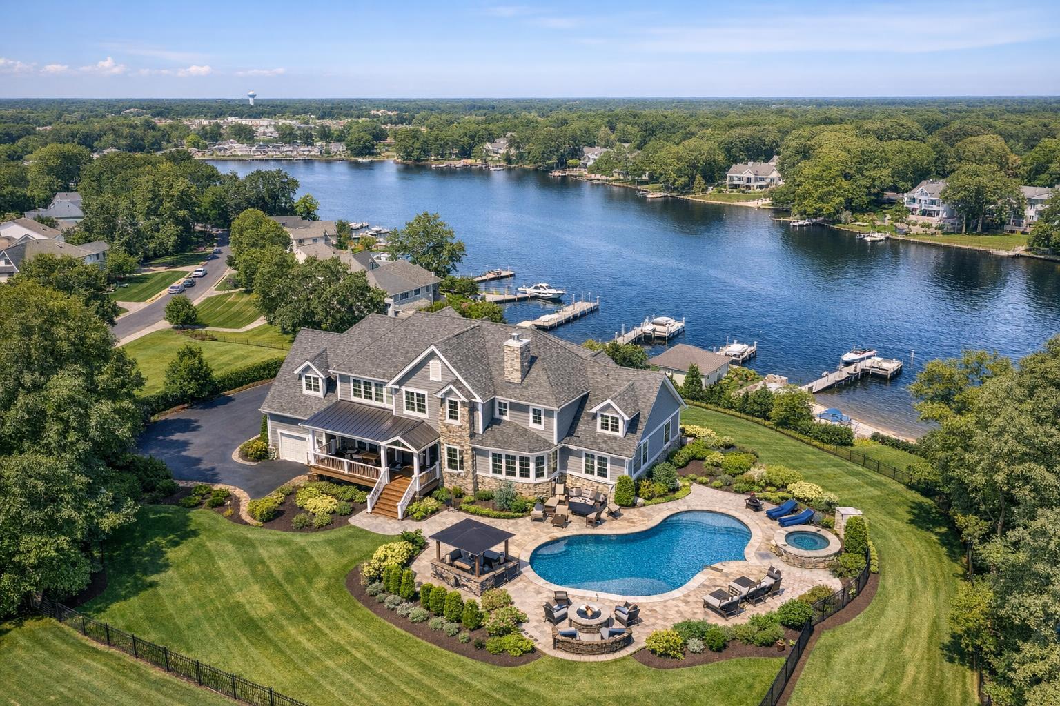
Drone Photography in NJ: When It Makes Sense for a Real Estate Listing
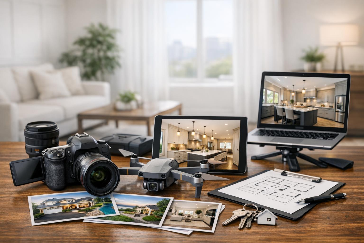
Drone photography in NJ has rapidly become one of the most-requested real estate marketing assets, but not every property—or every listing scenario—truly benefits from an aerial perspective. What distinguishes effective real estate drone photography in NJ isn’t just the allure of a dramatic overhead shot. It’s the value of visual context. Certain property types, amenities, or locations make aerial media not just a nicety, but a genuinely helpful way to communicate information to buyers that would be difficult (or impossible) to show from ground level.
If you’re a New Jersey agent, broker, or property owner considering whether to hire a drone photographer, the decision shouldn’t rely on the latest marketing trend. It’s a strategic call about when aerial real estate photography clarifies what matters about a property—and when standard images may already tell the story.
The Unique Perspective: What Aerial Photography Actually Reveals
Most listings start with traditional exterior images: curb appeal, entrance, landscaping, and architectural details. These images are fundamental for showing the front face of a property, but they have limitations. Aerial stills and video, on the other hand, can show:
- The scale of a large lot or estate
- The layout of structures in relation to land or outdoor amenities
- Proximity to water, parks, commercial districts, or transit connections
- The relationship between a home and its actual lot placement
- Outdoor living areas and features (pool, tennis court, kitchens, extensive patios)
- Multi-building sites, such as properties with guest houses, detached garages, or barns
Aerial images are especially powerful when the property’s value is intrinsically tied to these types of spatial relationships. A drone photo can answer buyer questions immediately—like how the backyard stretches behind a house, where the shoreline is compared to the front porch, or how a commercial building connects to parking or roadways.
When Drone Photography Adds Value (And When It Doesn’t)
Large Homes & Meaningful Grounds
When a property offers more than can be seen from a single vantage point—a sprawling backyard, gardens, a long driveway, multiple outbuildings—buyers need help visualizing those elements as a whole. Aerial real estate photography lets you zoom out and present a true sense of space and connection. In contrast, for a house on a compact or uniform lot, ground photos often suffice.
Waterfront and Jersey Shore Listings
Much of the New Jersey coastal market thrives on a property’s proximity to water—be it ocean, bay, river, or canal. Here, aerials can establish orientation and value before a showing is even scheduled. Overhead images clarify access points, bulkheads, beach approaches, and dockage, while also illustrating what’s unique about that home’s location. Still, the strongest photos keep the property at the center; a scenic shoreline means little if it doesn’t highlight how the listing relates to it.
Outdoor Amenities and Architectural Features
Yards featuring pools, patios, or hardscaped entertaining spaces often look small or disjointed from ground shots. Drone images show how these elements connect, especially when amenities wrap behind or beside the main home, or when landscaping is a selling feature in its own right. Architecturally distinctive homes—marked by unique rooflines, open courtyards, or striking footprints—can also benefit from the way aerials reveal design from above.
Land, Commercial Properties, and Mixed-Use Sites
For vacant parcels, commercial real estate, or multi-structure sites, aerial images solve practical problems: How is the lot shaped? Where are access points, driveways, or loading bays? Is parking obvious? What’s around the perimeter? These images support, rather than replace, boundary surveys or inspections but provide orientation quickly, supporting marketing and early decision-making.
When Exterior Photos Are Enough
Not every listing needs drone media. Some situations where standard ground-level photography generally covers what buyers need:
- Condos or apartments with no meaningful exterior context
- Small homes tightly surrounded by neighbors
- Listings where indoor features are the main selling point
- Communities where everything worth seeing is already visible from the curb
- Properties where logistical or regulatory conditions make drone work difficult or inadvisable
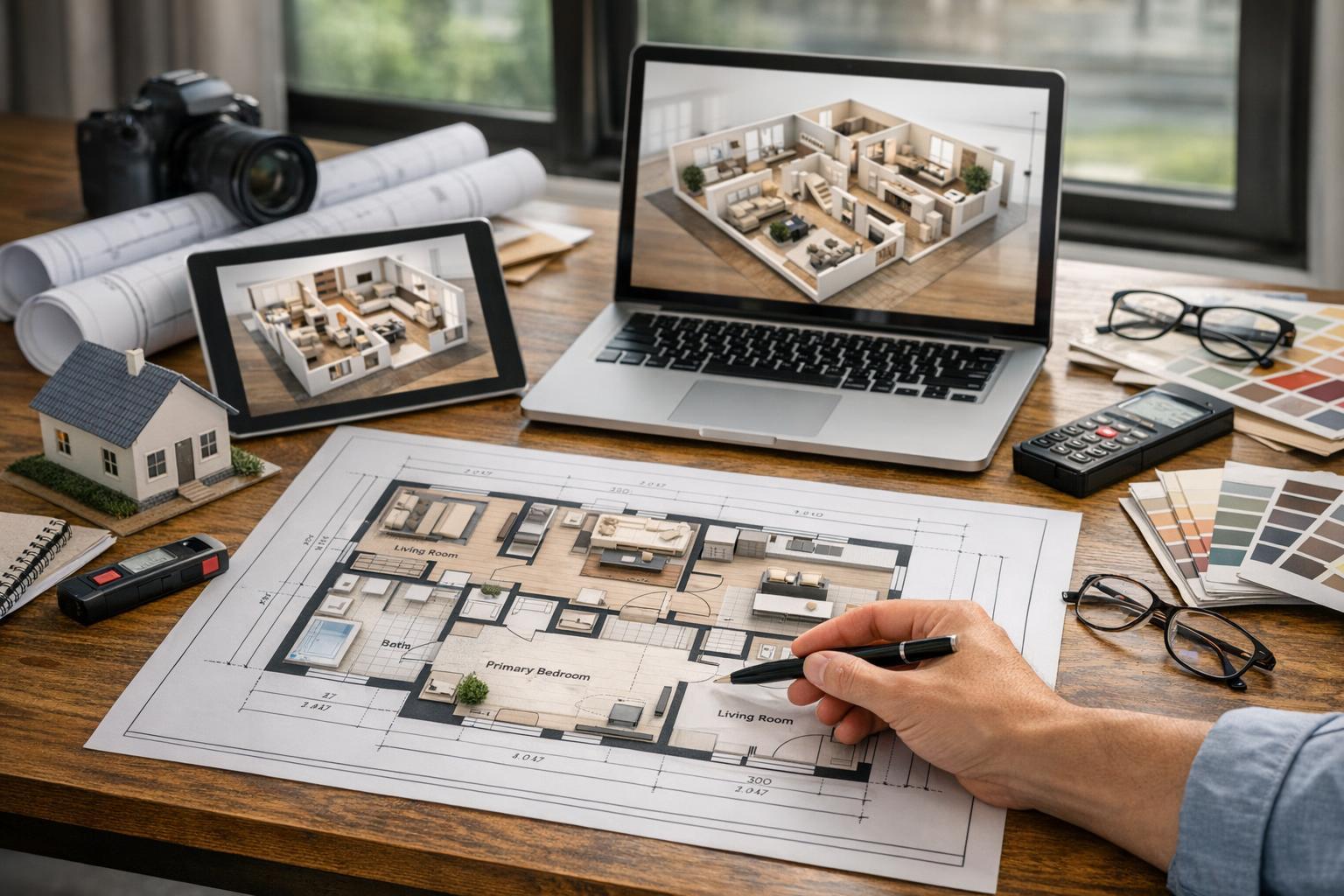
A strong collection of well-composed ground photos, accurate floor plans, and detailed interiors is often more impactful than adding aerials for the sake of variety.
Local Realities: NJ Neighborhoods and Drone Feasibility
New Jersey’s real estate landscape is diverse—ranging from dense North Jersey neighborhoods influenced by Manhattan, to sprawling suburban properties, to unique Jersey Shore and vacation communities. In tightly built areas, limited space, narrow lots, parking constraints, or adjacent buildings may restrict safe drone launch zones or available flight paths. Sometimes, roof access is the key to aerial coverage here.
By contrast, open properties in the suburbs and along the coast tend to offer more flight flexibility. These properties often benefit most from a broader view, and the aerial approach can sharply enhance a listing when flight conditions are right. Still, it’s always a matter of reviewing not just the address, but the specific visual story and flight feasibility on the scheduled day.
How Professionals Decide What to Capture
Experienced media teams know that good drone coverage isn’t automatic. A few operational considerations that guide the process:
- Every flight is reviewed ahead of time for FAA Part 107 compliance, airspace class, weather, and nearby airports or heliports.
- On-site, pilots assess obstacles like trees, wires, construction, and moving vehicles, and confirm safe takeoff and landing zones.
- In high-density or urban locations, exterior and roof access may need to be coordinated in advance.
- Clients should be aware of practical limits: if additional police, municipal, or event permits are required beyond standard drone authorization, those must be secured on the client side before scheduled capture.
The process is as much about safety and compliance as it is about visual results. Responsible operators don’t force unnecessary or unsafe flights just for the sake of an extra image.
Property Preparation Tips
Aerial coverage reveals more of a property’s context, which means details like roof cleanliness, vehicle or bin placement, and backyard organization are visible. It’s helpful to:
- Move vehicles and bins off driveways and exterior pads
- Close pool covers and tidy outdoor furniture
- Remove stray items such as hoses, tools, or yard equipment
- Make sure gates are unlocked for site access
- Let your media team know about any outdoor amenities or features you want prioritized
Quick preparation can make a noticeable difference in the clarity and appeal of the final images.
Choosing Between Aerial Stills and Drone Video
The term "drone photography" covers both still imagery and moving video. Each serves a different role in the overall marketing mix:
- Aerial stills are most useful for image galleries, listing websites, print marketing, and posts where buyers study details of the lot, architecture, or amenities.
- Drone video introduces movement and context, particularly useful for agents creating cinematic listing films or social content. A moving shot can approach a house, reveal a waterfront, sweep over a backyard, or show a property’s position in relation to the surroundings.
For most listings, a handful of carefully composed aerial photos is enough to provide context without overwhelming the gallery. Video becomes more relevant for higher-end productions, or where a motion-driven look at the property adds value to the marketing plan.
RealtaSnap offers three main approaches for aerial media:
- 10 HDR drone photos
- 1-minute final 4K drone video
- A package with both 10 HDR photos and a 1-minute video
You can find current details any time at drone photography and video services.
Booking, Availability, and Practical Workflow
Scheduling aerial work requires a bit of lead time, as not every location or property is flyable on demand. RealtaSnap requires at least 24 hours’ notice to book a drone shoot in New Jersey, and entering the listing address at booking is useful for confirming feasibility.
To book, visit the main site and select the service you need. Always include the address and any key entry or access instructions. Availability is updated in real time, and you can add aerial media to other real estate photography packages or book it separately when context warrants it.
Pairing aerial and ground-level photography is common for larger homes, estates, waterfront properties, commercial sites, and any listing where scale or location is a prominent value. In every case, the aerial component should support, not replace, the essential images buyers expect.
Use Aerial Media Where It Enhances Context, Not as a Default
The best decisions about real estate drone photography in NJ are strategic, not automatic. For listings where outdoor features, lot size, water access, or a unique layout matter, a well-planned aerial can be invaluable. For tightly packed homes or listings where the most important story is inside, ground-level photography remains the practical choice.
If you’re weighing aerial coverage for an upcoming property, RealtaSnap can evaluate the location and recommend the most useful approach. To review options or start the booking process, visit www.RealtaSnap.com.
FAQ
Question: How do I determine if my New Jersey listing really needs drone photography?
Answer: Think about the buyer’s perspective. If key selling points—like lot size, proximity to water, outdoor amenities, or building layout—are difficult to communicate with ground images alone, aerial media is often helpful. If the listing’s primary assets are inside or exterior context is straightforward, ground photography is often enough.
Question: Are all New Jersey properties eligible for drone flights?
Answer: Not automatically. Drone operations depend on FAA regulations, airspace type, weather, safety, and access. In urban or tightly built neighborhoods, flight paths may be limited or restricted, and some addresses will require additional review. If special permits beyond standard FAA authorization are needed, clients are responsible for obtaining them.
Question: What’s the difference between ordering drone photos, drone video, or a combination package?
Answer: Drone photos are most useful for detailed image galleries and MLS listings, where buyers want to study context. Drone video adds movement and is often best suited to property films or social media marketing. Choosing both can provide flexibility for agents building multi-platform campaigns. The right choice depends on the listing strategy and how you want to present the property visually.