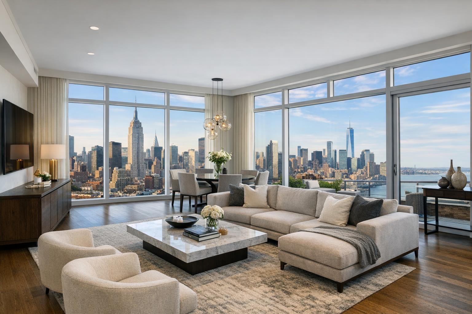
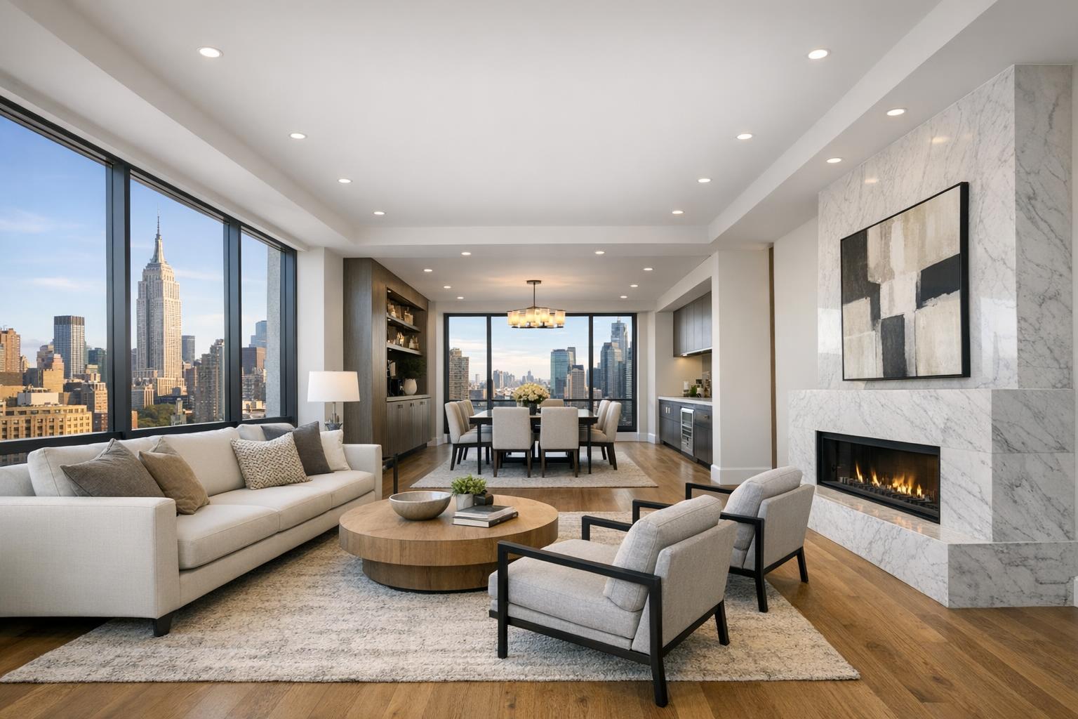
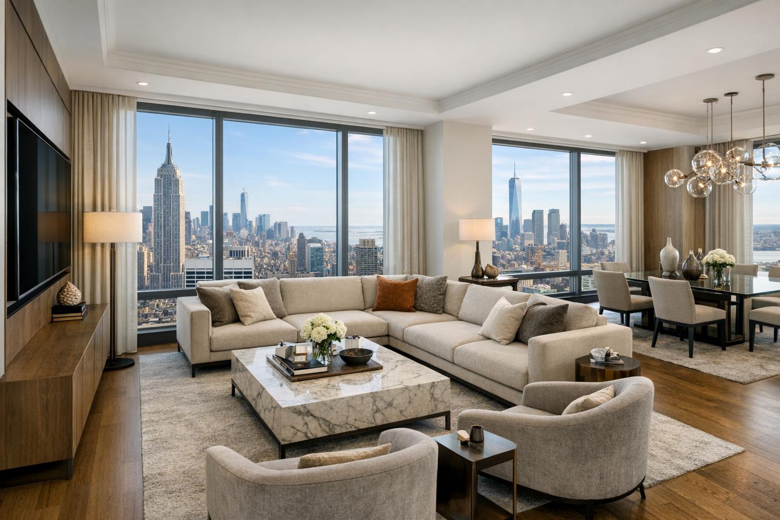
Assessing the Impact of Drone Photography on Today’s Real Estate Listings
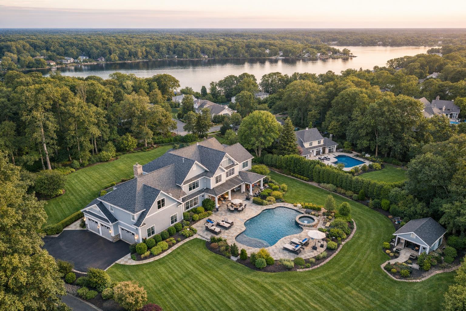
Drone photography beautifully captures an expansive estate featuring a luxurious house with a pool, manicured lawns, and scenic lake views.
Introduction
Drone photography real estate services have emerged as a powerful tool for agents and property managers in NYC and New Jersey looking to capture attention in today’s digital marketplace. As listing platforms become more visually crowded, utilizing aerial real estate photography—often referred to as real estate aerial imagery—has quickly shifted from a luxury to a must-have. In this post, we’ll explore how drone photography is transforming listings, the challenges agents face without aerial imagery, and why working with an experienced media team like RealtaSnap can fundamentally change your listing outcomes. You’ll learn how our 4K and HDR drone services not only deliver visually striking content but also ensure regulatory safety, operational reliability, and consistent branding for every property.
The Real-World Problem
Let’s face it: in NYC and New Jersey, real estate agents, hosts, and brokers are fighting for every click, showing, and serious inquiry. Properties can sit stagnant on listing portals simply because their photos fail to compete. Common challenges we hear about include:
- Low click-through rates as buyers scroll past uninspiring angles.
- Flat lighting and uneven window exposures, making interiors look cold or cramped.
- Exterior shots revealing little about a property’s actual scale or its unique location.
- Listings failing to communicate valuable neighborhood context, such as proximity to parks, city views, or lakes.
- Limited visual storytelling, which weakens a buyer’s ability to picture themselves at the address.
- Inconsistent image quality across listings, undermining the agent’s brand and authority.
These issues are only magnified in urban markets, where a single building might house dozens of competing listings. Without the visual drama of aerial footage—capturing not just the building, but the streets, skyline, and the property’s relationship to its environment—many homes get lost in the shuffle. Even premium listings can underperform if the visual story remains incomplete.
What Experienced Media Teams Know
Ask any seasoned real estate photographer in NYC or New Jersey what separates a strong listing from an average one, and you’ll hear the same thing: quality listings demand preparation, visual storytelling, and the right tools. Having photographed thousands of units—from high-rise condos in Midtown to brownstones in Hoboken—we know:
- Golden hour is critical. The best aerial real estate photography happens during early morning or late afternoon, when sunlight creates warm contrast and long shadows that make buildings pop—even on the densest city block.
- Drone pilots need windows of opportunity. In NYC, flight plans can change at the last minute based on weather, local restrictions, and available roof access.
- Every drone operator must work in harmony with agents and building staff, scheduling (sometimes narrowly) around move-ins, supers, and delivery hours.
- The composition focus is about more than just the roofline; capturing vertical lines straight, framing the full lot, and keeping views honest require technical expertise and in-camera discipline.
- In suburban NJ, wider property lines demand different drone heights and less extreme angles to show off sprawling lawns, pools, or backyard decks.
- Post-production is where aerial shots are truly leveled-up—balancing highlights, replacing washed-out skies, and sometimes removing distracting objects, always keeping the final images true to the actual scene.
Working in the NYC/NJ market, we also understand the critical importance of reliability: agents need their deliverables in hand on tight deadlines, with no drama, every time.
How RealtaSnap Solves It
At RealtaSnap, our real estate media team combines hands-on field experience with a robust production pipeline to deliver stunning, sales-ready real estate aerial imagery for properties from Tribeca to Jersey City and beyond. Here’s what it looks like in practice:
- Every shoot is scheduled for optimal lighting, and our pilots complete thorough pre-flight checks, factoring in local FAA regulations and neighborhood-specific challenges.
- We only send credentialed, insured drone operators—always familiar with creative shot planning, vertical correction, and the layout needs of NYC’s rooftops and courtyards.
- For every project, we pre-visualize not only hero shots and dramatic reveals but also wider context angles—showing the property in its block, block in its neighborhood, and neighborhood in the city.
- We capture in 4K resolution and HDR (high dynamic range), ensuring detail in both shadow and sky. Where needed, we utilize blue sky replacement (if overcast) to make each shot inviting but honest.
- Turnaround is fast: most NYC and NJ listings receive images and videos within 24-48 hours. Agents can reliably plan launches, knowing their timelines will be met.
- Our workflow includes secure file delivery and easy access to alternative media cuts for social sharing, multi-channel branding, and custom marketing needs.
To view our drone offerings and book a session, visit our dedicated Drone Photography & Videography page.
Benefits of Choosing RealtaSnap
- Consistent, fast 24-48 hour turnaround.
- 4K HDR drone imaging with sky replacement included.
- Experienced, local drone pilots familiar with NYC/NJ rules.
- Pre-visualized shot lists for every property type.
- Reliable scheduling and secure online booking.
- Seamless media delivery—no endless email chains.
- Editorial-quality images tailored to your brand.
- Scalable packages for luxury and starter homes alike.
- Service area coverage across NYC, NJ, and selective nearby counties.
- Hassle-free ordering and payment online.
Why This Matters in the NYC / NJ Market
The NYC and New Jersey real estate markets are unlike anywhere else. Inventory turns rapidly, and buyer expectations—driven by competitive visuals—are sky-high. Aerial photography accomplishes four things that are uniquely valuable in these markets:
- Differentiates listings amid dense urban “sea-of-sameness”—especially in high-rise, mid-rise, and new development contexts.
- Communicates unique lifestyle benefits; for instance, proximity to the Hudson River or Central Park, access to public transit, or exclusive rooftop views.
- Increases transparency and interest for suburban buyers—who want to see yard size, lot boundaries, and neighborhood amenities.
- Strengthens agent branding through uniform, high-class visuals that can be deployed on any MLS, brokerage site, or social feed.
Platforms like StreetEasy, Zillow, and Redfin reward striking first images and videos with more impressions and clicks. In a fast-moving, high-stakes region, compelling visuals translate directly to showing requests.
Comparison with Traditional or Lower-Quality Alternatives
- Cell phone photos: Lack of scale, perspective, and visual drama. Often distorted wide angles and blown skies.
- Rushed media: Hasty, forgettable results. Missed alignment with brand and staging effort.
- Inconsistent editing: Variable quality damages agent reputation and can create unfair expectations.
- Delayed delivery: Media arriving late to a launch window means listings miss peak market visibility.
- Non-specialist providers: Little knowledge of urban airspace or property marketing needs.
- DIY drone attempts: Increased regulatory risk, poor shot discipline, and inconsistent results—especially in restricted environments like Manhattan.
Conclusion & Call to Action
The landscape of real estate marketing in NYC and New Jersey is changing rapidly, and drone photography is now at the heart of building visual authority on every major platform. Trusted partners like RealtaSnap translate deep local experience into beautifully produced media—ensuring your listings receive the attention they deserve, on your schedule, and without compliance headaches.
Ready to level up your listings with professional aerial imagery? See more of our work and request a consultation via www.realtasnap.com. Discover how easy it is to make your next listing stand out.
Frequently Asked Questions
1. Are drone photos really necessary for urban properties like condos or co-ops?
Many urban agents think drone photography is “just for houses with yards,” but in NYC and NJ’s vertical markets, aerial shots help buyers grasp the building’s scale, nearby parks, and city context. Even for walk-ups or high-rises, showing the environment builds trust and gets listings noticed. RealtaSnap prioritizes getting permission and creative angles, so you don’t have to.
2. How does RealtaSnap handle drone flights in areas with strict airspace rules?
We operate under FAA guidelines, assess each site for flight feasibility, and never risk your project—or our pilots—where safety or regulations would be compromised. Roof access and prior notice help us secure the best shots. Our team will always advise if a location requires special handling or if a flight isn’t possible, keeping your listing (and reputation) fully protected.
3. What’s the cost for professional aerial photography, and what’s included?
For $209, you receive 10 HDR drone photos with sky replacement (if needed). A 1-minute, fully-edited 4K drone video is $229, or combine both for $299. Every shoot includes local pilot expertise and creative shot planning. All prices and information are subject to change. Information is deemed reliable but not guaranteed. We handle all the production details so you can focus on your clients.