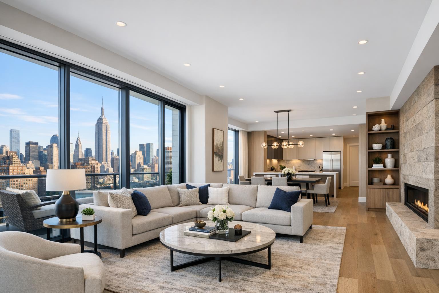
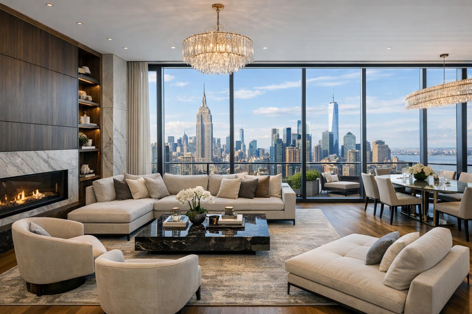
Assessing the Impact of Drone Photography on NYC Real Estate Marketing
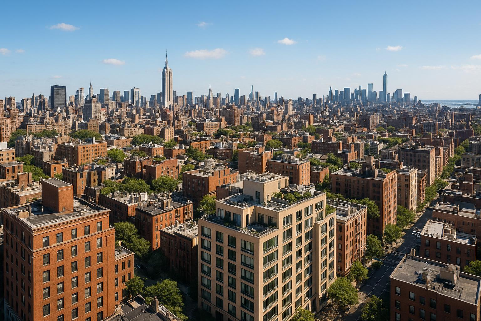
Drone photography captures a vibrant and expansive view of New York City's skyline, showcasing the iconic skyscrapers and dense urban landscape.
Drone Photography NYC: Transforming Real Estate Marketing with Aerial Imagery
Drone photography NYC is redefining the standard for how real estate agents, brokers, and property owners showcase their properties against the competitive backdrop of New York City and New Jersey. In this post, you’ll learn why aerial photography isn’t just a trendy add-on—it’s an essential tool for capturing scale, highlighting architecture, and communicating the broader context of any listing. We’ll cover the benefits for residential, luxury, and commercial properties, address FAA and legal considerations, and explain what it’s really like to book a professional drone shoot in NYC. As a team with years of hands-on experience producing listing media across the region, we’ll break down what matters most in the field—and how to make drone imagery work for your next property launch. If you’re looking for sharper engagement, higher click-through, and a media approach that commands attention, read on.
The Real-World Problem: Why Most NYC Listings Fall Flat
Every agent, broker, or host in the city has faced the same challenge: you craft a listing, upload your images, and watch as your property gets lost in a sea of sameness. Low click-through rates, quick page exits, and uninspiring first impressions remain the norm for too many listings. This is especially true with:
- Standard interior shots that can’t capture a property’s surroundings or scale
- Dark or uneven lighting obscuring architectural features
- Images that make even the most luxurious spaces look small, cold, or generic
- Buyers struggling to connect the dots between the listing and its prime location, amenities, or neighborhood
Especially in a hyper-dense, vertically layered city like New York, traditional ground-level photos fail to capture what makes a unit or building truly special. For commercial and luxury listings, this loss is doubly costly—a missed opportunity to spotlight rooftop amenities, skyline views, proximity to parks or transit, or the full scale of a multi-use space.
Inconsistent quality, poor weather timing, rushed shoots, or basic phone photos often translate to listings that underperform. Empty apartments struggle to evoke buyer imagination; high-priced units look ordinary. Even well-maintained homes can appear visually “flat,” resulting in fewer showings and weaker offers. In the end, listings that fail to stand out simply blend in.
What Experienced Media Teams Know
Having shot thousands of NYC listings, seasoned real estate photographers approach each assignment with a clear set of priorities that the do-it-yourself crowd often misses. Here’s what experienced media professionals understand:
- Aerial imagery is the “context shot” that brings listings to life. By capturing roof decks, outdoor spaces, and neighboring features, drone photos give buyers a feel for what it’s actually like to live, work, or invest in the location.
- Timing and lighting are everything. Real-world teams understand that for drone photography, wind, midday sun glare, and site-specific shadows must be anticipated and avoided. Pre-dawn and late afternoon often offer the best light—and require careful scheduling and readiness.
- FAA and building policies shape what’s possible. Unlike casual flyers, professional operations always check for airspace restrictions, request necessary permissions, and vet structural access points. In Manhattan, roof access often makes or breaks feasibility; in New Jersey, flight paths and school proximity must be checked for each shoot.
- Every shot is planned to maximize visual impact. Drone operators use HDR and image bracketing to deliver punchy, well-balanced exposures—even in tough conditions. Correcting verticals and managing compositional “leading lines” allows architectural features to read clearly on listing sites. In practice, professionals create not just pretty pictures but strategic images that guide buyer attention and support a property’s narrative.
Just as important, experienced teams know buyers spend the first few seconds deciding whether a listing fits their needs—making every angle, every edit, and every sky replacement count.
How RealtaSnap Solves It
At RealtaSnap, our workflow is built from the ground up for the realities of NYC and NJ real estate marketing. Here’s how we consistently solve the core pain points agents, hosts, brokers, and sellers face:
- FAA-Compliant, Reliable Drone Operations: We fly only with certified pilots who understand the legal and safety boundaries of NYC and New Jersey airspace. Each shoot is vetted for feasibility—meaning we assess every building, address, and nearby restriction before committing to flight. You’ll never be left guessing whether a location is “flyable.”
- Visual Quality, Turnaround, and Consistency: We deliver 4K and HDR aerial photography, with careful sky correction and architectural alignment in every photo, so each property shines on web and mobile. Most projects are turned around within 24–48 hours, allowing you to launch listings fast—without sacrificing quality.
- Honest Site Assessment and Client Communication: Not every shot is possible everywhere, especially in dense Manhattan or near restricted zones. If a roof or site does not allow for a safe or legal flight, we inform you right away, providing alternate creative options to ensure your listing still stands out.
- Integrated Media Packages: Drone photos can be seamlessly added to ground-level exterior/interior shoots, virtual tours, and branded video—delivering a cohesive marketing suite that drives click-through and seller satisfaction.
- Booking Ease and Professional Guidance: Agents and owners can schedule shoots in minutes with our online booking platform. We spell out pre-shoot requirements and take care of all technical details, from entry instructions to final file delivery【20:5†RealtaSnap_Booking_Process_MASTER.docx】.
Pricing: Drone services start at $209 for 10 HDR aerial photos (with sky replacement if needed), $229 for a 1-minute 4K aerial video, or $299 for a package including both photos and video. All prices and information are subject to change. Information is deemed reliable but not guaranteed【20:0†RealtaSnap_Rate_Sheet_MASTER.docx】.
See more at our drone photography and videography page.
Benefits of Drone Photography with RealtaSnap
- FAA Part 107 certified pilots for compliance and safety
- Fast, predictable turnaround—typically 24–48 hours
- 4K quality with HDR and blue sky correction
- Honest, site-specific feasibility checks for every shoot
- Easy online scheduling with real-time calendar
- Seamless integration of drone, photo, and video services
- Expert post-production for architectural alignment and sky replacement
- Competitive, transparent pricing with all details up front
- Full coverage for NYC, NJ, and select surrounding markets
- Friendly support from experienced real estate media pros
Why This Matters in the NYC / NJ Market
Unlike suburban or rural regions, NYC and New Jersey represent some of the most visually complex and competitive property markets in the country. High-rise buildings, narrow street setbacks, rooftop amenities, and instantly recognizable skyline backgrounds demand a level of visual storytelling phone photos simply can’t deliver. Buyer expectations—especially at luxury price points or for flagship rentals—mean that aerial photography is no longer optional, but instead a core component of standout listings.
In many Manhattan neighborhoods, properties compete visually on platforms like StreetEasy, Zillow, and Compass, where only the most compelling content moves buyers to schedule showings. For commercial clients, retail, multi-family, and mixed-use properties need context—proximity to transit, pedestrian traffic, nearby anchors—all details best communicated through aerial perspective.
Operating in these markets also means working within highly regulated airspace, dealing with union buildings, and understanding building insurance and liability realities. RealtaSnap’s approach, honed over years of NYC and NJ on-site shoots, ensures that every potential obstacle is addressed proactively, minimizing surprises and maximizing results.
Comparison with Traditional or Lower-Quality Alternatives
Too often, agents or owners settle for hasty DSLR shots, blurry phone images, or “one-size-fits-all” photo services that disregard the unique needs of NYC and NJ listings:
- Phone photos: Even with new smartphone cameras, the dynamic range and field of view can’t match professional drone imagery, especially for capturing outdoor amenities, views, or building scale.
- Rushed, Inconsistent Editing: Many generic providers skip architectural corrections, sky replacement, or fail to manage lighting, resulting in photos where buildings lean, windows are blown out, or exteriors look muddy and dull.
- Delayed Deliveries: Timely launch matters. Providers who don’t prioritize turnaround leave your listing on hold, costing crucial visibility during the “fresh on market” phase.
- Overlooked Neighborhood Context: Standard ground-level photo packages rarely deliver the “context shots” buyers crave—how close is the subway, park, cultural hub, or river view? Aerial imagery fills in these blanks.
- Ignore FAA, Building, and Airspace Rules: Cutting corners risks canceled shoots, legal headaches, and ultimately missed opportunities. RealtaSnap never leaves compliance or logistics to chance.
Conclusion & Call to Action
In the world’s most high-stakes real estate landscape, drone photography NYC is your key to standing out, whether marketing a SoHo penthouse, a Brooklyn brownstone, or a new development in Jersey City. With aerial photography by RealtaSnap, you get more than just another listing photo—you get a story, a scene, and a visual narrative that resonates with buyers and renters alike.
Ready to elevate your real estate marketing? Explore our proven approach and book your next drone shoot with confidence at www.realtasnap.com.
For more on our NYC/NJ-specific services and coverage areas, visit our dedicated drone photography page.
Frequently Asked Questions
1. Is drone real estate photography allowed everywhere in NYC and NJ?
Drone flights must comply with FAA Part 107 regulations and local airspace rules. Not every property is flyable—high-rise shoots, restricted or controlled airspace, and building permissions may limit what’s possible. RealtaSnap always assesses site feasibility in advance and guides clients through the process, so you only book when flight is practical and allowed【20:6†RealtaSnap_Service_Execution_Policy_MASTER.docx】.
2. How fast can I get my drone photos or video for a listing?
With RealtaSnap, drone photo and video turnaround is typically within 24–48 hours after the shoot, allowing listings to go live fast without quality compromise. We handle scheduling, access, and delivery for you, so you can focus on marketing your property confidently【20:0†RealtaSnap_Rate_Sheet_MASTER.docx】【20:5†RealtaSnap_Booking_Process_MASTER.docx】.
3. What if weather or building issues prevent flying the drone?
If a shoot is affected by bad weather, airspace restrictions, or building access limitations, RealtaSnap notifies you immediately with alternative solutions—such as rescheduling, adjusting the shot list, or providing creative alternatives. Our team’s honest assessments mean there are no last-minute surprises, ensuring your project is always in capable hands【20:6†RealtaSnap_Service_Execution_Policy_MASTER.docx】.
For a full guide to preparing for your real estate photo or drone shoot, check out our prep tips at RealtaSnap’s official site.