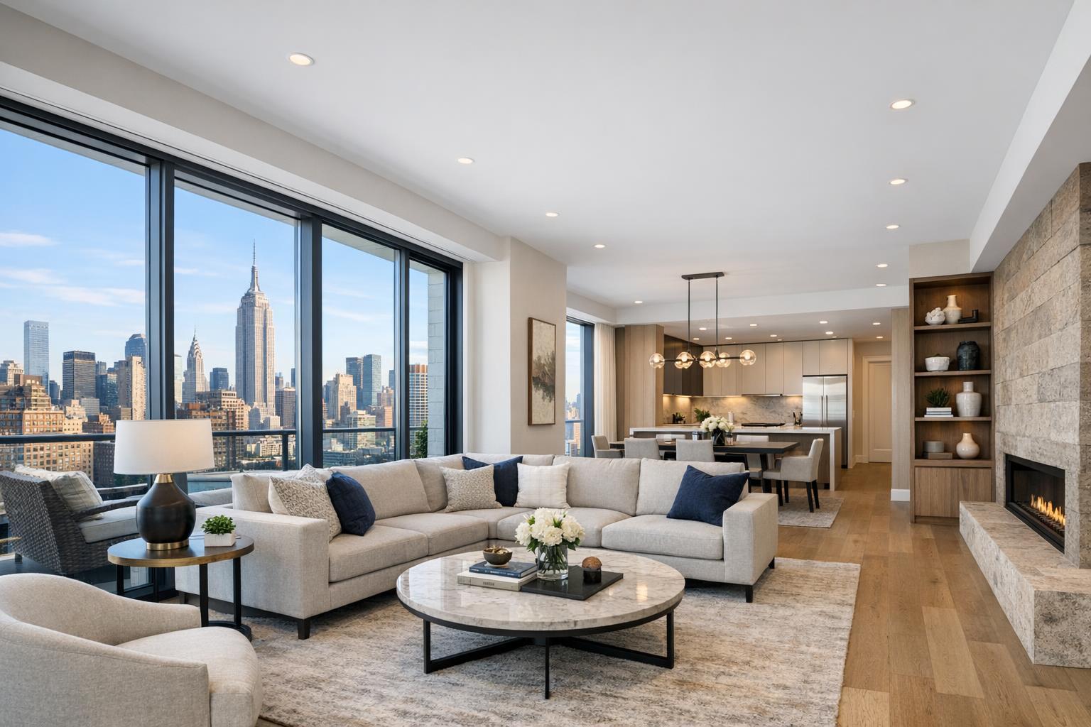
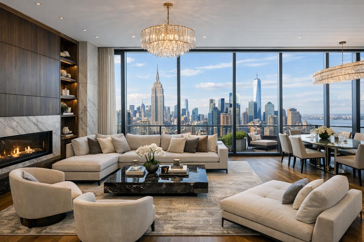
Analyzing the Impact of Drone Photography on Real Estate Marketing in New York City
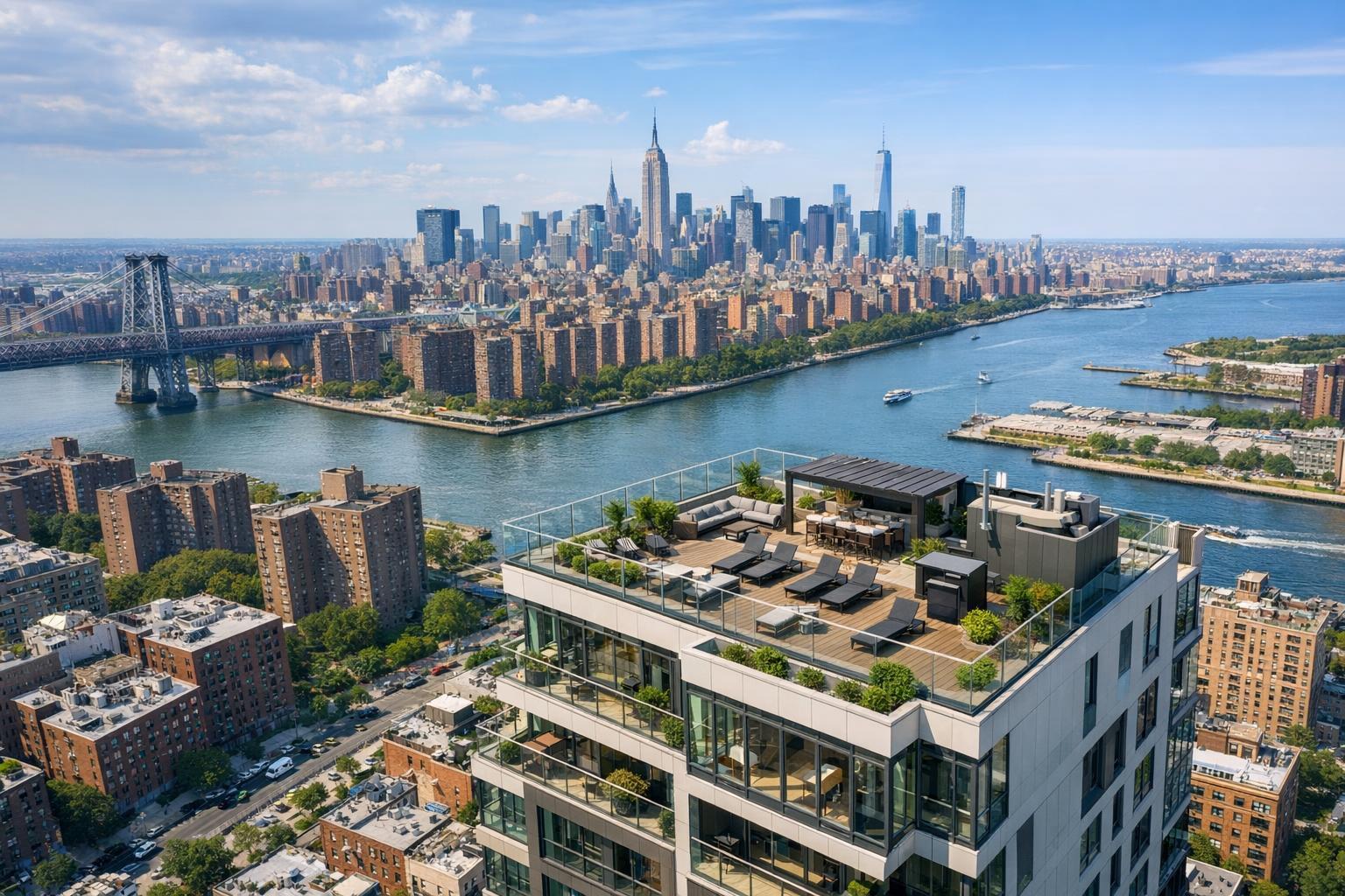
Drone photography of NYC captures a stunning aerial view of the cityscape, highlighting a rooftop terrace and the iconic skyline in the background.
Drone Photography NYC: Elevating Real Estate Marketing with Aerial Perspectives
When it comes to capturing the true value of urban properties in today’s market, drone photography NYC is more than just a trend—it’s a strategic advantage. For real estate agents and property owners looking to showcase listings in one of the world’s most competitive environments, leveraging aerial real estate photography can transform how a property is experienced online and in print. In this post, we’ll explore how drone imagery is redefining real estate photography NYC, address the logistical challenges unique to New York City and New Jersey, and show you how RealtaSnap’s proven drone services help listings get noticed, generate more clicks, and spark buyer interest from the very first impression.
The Real-World Problem
Every agent, host, or seller in New York or New Jersey knows the pain of a listing that just doesn’t engage buyers. Digital platforms like StreetEasy, Zillow, and Realtor.com have made it easier than ever for buyers to scroll past uninspiring content. Low click-through rates, weak opening visuals, and generic photos all contribute to the “invisible listing” effect. Often, urban properties are hemmed in by neighboring buildings, rely on natural light that’s blocked or uneven, and lack the curb appeal suburban homes enjoy. Interiors may feel tight, facades are easily cropped out, and rooftop spaces are difficult to feature from traditional ground-level shots. The result? Powerful amenities and unique selling points get overlooked, driving weaker engagement and slower sales or rental cycles. In a dense city, you can’t afford for your media to look like everyone else’s.
What Experienced Media Teams Know
After years of photographing and marketing properties throughout NYC, New Jersey, and surrounding areas, we’ve seen firsthand what separates mass-scrolled listings from the ones that truly pop. Here’s what pros understand:
- Timing is everything. The difference between an average and exceptional aerial shot may come down to shooting at golden hour, strategically capturing soft city light while avoiding harsh shadows or blown-out windows.
- Staging extends outside. For penthouses, brownstones, or new developments, prepping rooftop furniture, clearing debris from common spaces, or wetting pavers ensures the outdoor “wow” factor extends outward and upward.
- Framing for scale. Drone pilots with property marketing expertise know how to adjust altitude, camera tilt, and orientation to highlight not just the building, but also its relation to parks, skyline views, and transit hubs—making location a visual asset.
- Vertical lines and alignment. In tight city environments, correcting distorted vertical lines and ensuring window exposures match the building’s true feel is crucial for honest, compelling imagery.
- Regulatory navigation. Urban aerial work never happens by accident. Leaders in this space actively coordinate around airspace restrictions, flight approvals, and building-specific authorizations.
How RealtaSnap Solves It
At RealtaSnap, we specialize in producing aerial real estate photography tailored to the unique visual and logistical challenges of NYC and New Jersey. Here’s how our approach delivers results:
- FAA-Compliant Professional Piloting: All drone flights are conducted by experienced, Part 107-certified pilots, with airspace and safety assessments completed for each shoot. This ensures full compliance with New York City and FAA regulations.
- Urban Expertise: Our team brings deep knowledge of the city’s buildings and public spaces, making us adept at securing roof access, navigating street-level density, and capturing signature angles that maximize listing appeal—even in the most challenging airspace.
- Visual Consistency: We combine 4K and HDR drone photography with precision editing for bright skies, true-to-life colors, and crisp detail, ensuring every listing has a polished, consistent visual identity across all media.
- Seamless Process & Fast Turnaround: From booking to delivery, our workflow is designed for busy agents. Most shoots are completed in about an hour, and results are typically delivered fast enough to meet the demands of tight listing schedules.
- Transparent Pricing and Packages: RealtaSnap’s drone services are structured for simplicity—choose between photo, video, or combo packages, all with clear rates (starting at $209 for 10 HDR drone photos, $229 for aerial video, or $299 for both). All prices and information are subject to change. Information is deemed reliable but not guaranteed.
For more, see our drone photography & videography page.
Key Benefits of Choosing RealtaSnap
- FAA-certified drone pilots for full legal compliance
- Experience with high-rise and urban property logistics
- Consistent HDR editing and blue sky enhancement
- Photo, video, and combo packages available
- Seamless booking online or via app
- Same-day or next-day turnaround available
- Support for both residential and commercial listings
- Reliable, predictable pricing—no last-minute surprises
- Real people available to help with planning and prep
- Trusted by leading agents across NYC and NJ
Why This Matters in the NYC / NJ Market
Urban buyers expect listings to stand out instantly. In New York City and New Jersey, competition isn’t just about price or square footage—it’s about capturing imagination in seconds. High-rises, brownstones, conversions, and even single-family homes all face unique visual challenges, from heavy shadowing and shared facades to rooftops that are easy to miss at street level. Listings with elevated, professionally produced media set themselves apart on crowded platforms like StreetEasy, Zillow, and Airbnb—driving more traffic, broader social sharing, and faster engagement. Suburban strategies rarely translate one-for-one; city-specific expertise and logistical savvy matter.
Comparison: RealtaSnap vs. Traditional or Lower-Quality Alternatives
Too often, agents attempt quick aerial shots with off-the-shelf drones or rush through vital pre-production steps. The end results? Slanted buildings, shadows obscuring key features, messy rooftops, and images that feel generic or amateur. Some providers skip regulatory steps, risking fines, confiscation, or shoot cancellations in restricted airspace. Others deliver inconsistent colors, lack blue sky replacement, or take days to return edited files, blowing tight launch windows.
With RealtaSnap, every detail—from vertical line correction to post-editing for urban sky color—is tailored for real-world sales and rental performance. You’re never left waiting for images or worrying about legality; you get polished, buyer-ready media that reflects the true potential of your property, on your timeline, produced by genuine real estate marketing specialists.
Conclusion & Call to Action
Aerial real estate photography is more than a “nice to have” in NYC and New Jersey—it’s a differentiator that moves listings faster and lifts your marketing above the noise. When you partner with RealtaSnap, you benefit from a team that understands the stakes, the logistics, and, above all, the art of presenting properties at their most compelling.
Ready to elevate your next listing? Discover the possibilities or inquire about a booking. See why top agents across NYC and NJ trust RealtaSnap with their real estate photography and aerial imagery.
Frequently Asked Questions
1. Can you really fly drones anywhere in New York City for real estate photos?
Drone flights in NYC are subject to strict FAA regulations, airspace classification, and local restrictions. RealtaSnap’s pilots evaluate each location individually and only proceed when it’s legally and practically feasible—so your project is always compliant and safe.
2. How soon can I get aerial images after booking a shoot?
We pride ourselves on efficiency. Most RealtaSnap drone sessions take about an hour, with edited results delivered rapidly to fit your schedule. Our workflow means you rarely wait more than a day or two for your aerial imagery.
3. What happens if my listing location is in restricted airspace or the shoot can’t be done?
Our team will always check feasibility in advance and advocate for alternative angles or solutions if flying isn’t permitted. If we can’t fly, you won’t be surprised last-minute—and we can often suggest ground-based alternatives to maintain your marketing edge.
For more information and to see available slots, visit www.realtasnap.com.