When Is Drone Photography Worth It for an NYC Real Estate Listing?
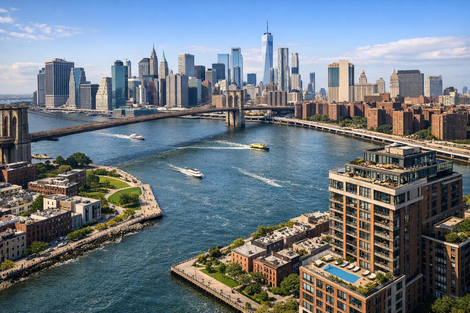
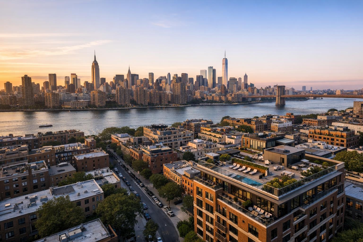
Drone photography captures a stunning view of NYC's skyline at sunset, with the river and high-rise buildings in the background.
When Is Drone Photography Worth It for an NYC Real Estate Listing?
Drone photography in NYC real estate is a topic that prompts frequent debate among agents, property owners, and even experienced media teams. The idea of showing a listing from above is instantly compelling, but the real question is, does it actually make sense for your particular property? In the New York City market, the answer hinges not just on the potential visual drama, but on a blend of practicality, regulatory realities, and what your listing genuinely needs to communicate.
Let’s break down where aerial real estate photography moves the needle for a listing—and when it’s more of a “nice to have.”
What Aerial Perspectives Actually Provide
There’s no question: standard professional photography is the backbone of every successful listing. Interior photos reveal room size, finishes, flow, and light. Exterior images establish curb appeal. But the view from above is in a class by itself. Aerial media shines when the story of a property depends on context that just isn’t obvious from ground level.
Drone shots can:
- Show the relationship between a property and its surroundings
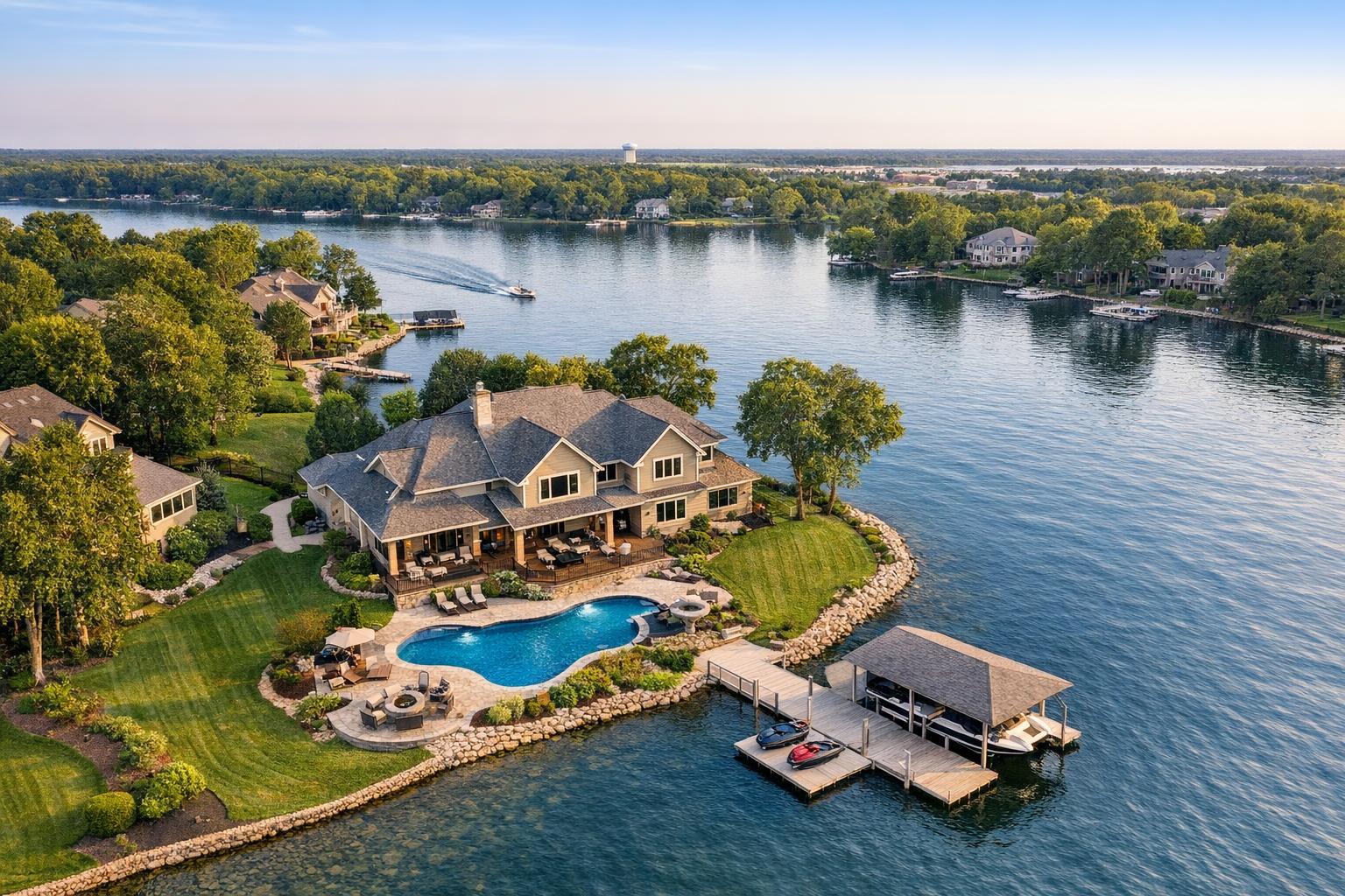
- Illustrate scale and boundaries (think large lots, corner positions, or water adjacency)
- Reveal roof decks, pools, gardens, or amenity spaces that are hard to appreciate from the street
- Provide buyers with a spatial overview—does the home back up to a park? Is the skyline or a waterfront really visible? Where does the outdoor space stop and start?
Properties That Benefit Most from Drone Coverage
Aerial real estate photography isn’t for every listing, especially in the tightly-packed environments of Manhattan and many Brooklyn neighborhoods. For agents weighing when to add drone media, it’s useful to start with a few key questions:
- Does the property have usable roof space (private or shared), a significant terrace, or a garden?
- Are there meaningful skyline, river, park, or harbor views from the property or its outdoor areas?
- Is the building’s exterior design, footprint, or position on the block an important part of the listing story?
- Would aerial media show an advantage—such as proximity to open space, an unusually large lot, parking, or a pool?
If you can immediately point to a feature that’s best explained from the sky, it’s worth evaluating drone options. For many standard apartments or condos with little more than a straightforward facade or no outdoor space, excellent traditional photography will usually be the most efficient choice.
Rooftops and Outdoor Spaces
Rooftop access is one of the clearest reasons for considering drone photography in NYC. Anyone who has tried to photograph a roof deck or terrace knows ground-level shots rarely communicate the full footprint, let alone the views and usable zones for entertaining or relaxing. For penthouses, townhomes, or buildings with amenity roofs, aerial angles can be the only way to show scale, layout, and placement in context.
Waterfront, Parks, and Open Views
Listings near the Hudson River, East River, or within sight of parks, marinas, or beaches benefit from drone imagery that accurately shows proximity and sightlines. This holds for select New Jersey properties as well, where open land or a shore setting is central to the appeal.
In all cases, drone coverage should remain honest about what’s nearby—aim to clarify, not exaggerate, the relationship between property and backdrop.
Distinctive Architecture and Exteriors
Brownstones, townhouses, and unique residential buildings often have attributes hidden from the sidewalk. Rear yards, side gardens, extensions, or interesting rooflines become visible only from above. For these listings, a combination of elevated and standard images can communicate architectural scale beyond what eye-level photos allow.
Larger Residential or Commercial Sites
Drone media comes into its own for new developments, suburban homes with acreage, retail centers, or sites that are hard to grasp from a handful of street shots. In these cases, aerial media can provide vital context about access points, parking, landscape design, and neighboring buildings.
Urban Complexity: Why Not Every Listing Gets a Drone Flight
Manhattan and Brooklyn are filled with visually promising listings, but the density of buildings and complexity of local airspace mean that not every rooftop or view is accessible for a drone operator. NYC airspace is a patchwork of restricted zones, tall structures complicate line of sight, and busy streets create safety challenges.
Even when a property has a promising aerial story, a drone flight isn’t always feasible. Considerations include:
- Required airspace review and possible FAA authorization
- Wind, weather, and site safety
- Roof or terrace access and building policy compliance
- Coordination with staff, tenants, or owners
- Pedestrian and vehicle traffic at launch/landing zones
Many successful real estate drone photography projects in NYC start with an on-site evaluation (sometimes virtual) to confirm access and walk through possible angles. This ensures there’s no wasted effort—if a feature can’t be shown safely or legally, the focus shifts to other strong visual storytelling techniques.
The Real-World Evaluation Process
For each property, it helps to ask:
- Which physical features truly require an aerial view?
- Can those features be captured from a useful flight path?
- Is access (roof, terrace, yard, etc.) practical to arrange?
- Are there site or environmental conditions—weather, obstructions, foot traffic—that might interfere?
- Would a well-planned ground-based shoot tell the story just as clearly?
Properties that check these boxes—clear benefit, workable access, safe flight—are the best candidates. When the situation is marginal, it’s better to use resources on what will reliably showcase the property.
When Drone Media Probably Isn’t Needed
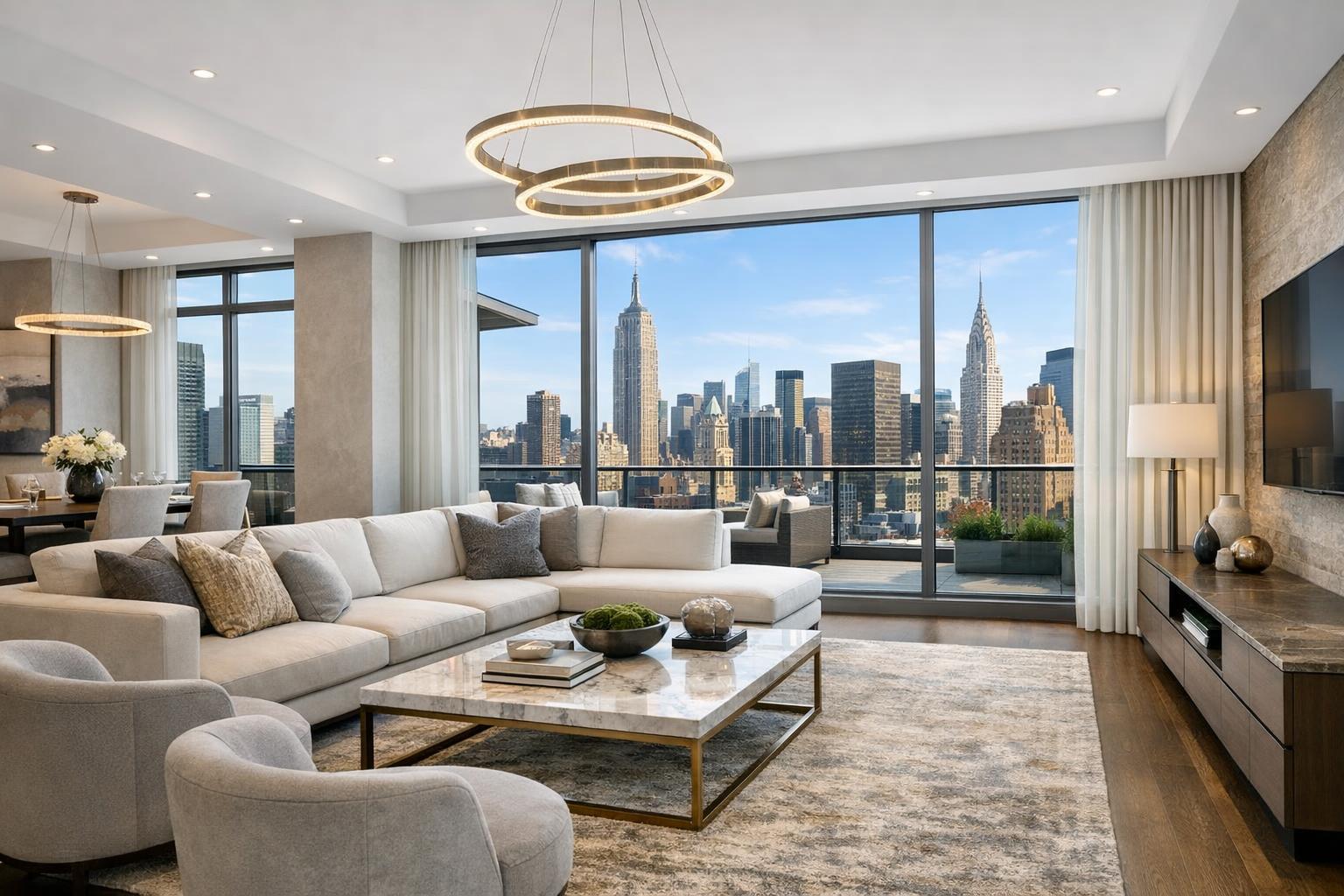
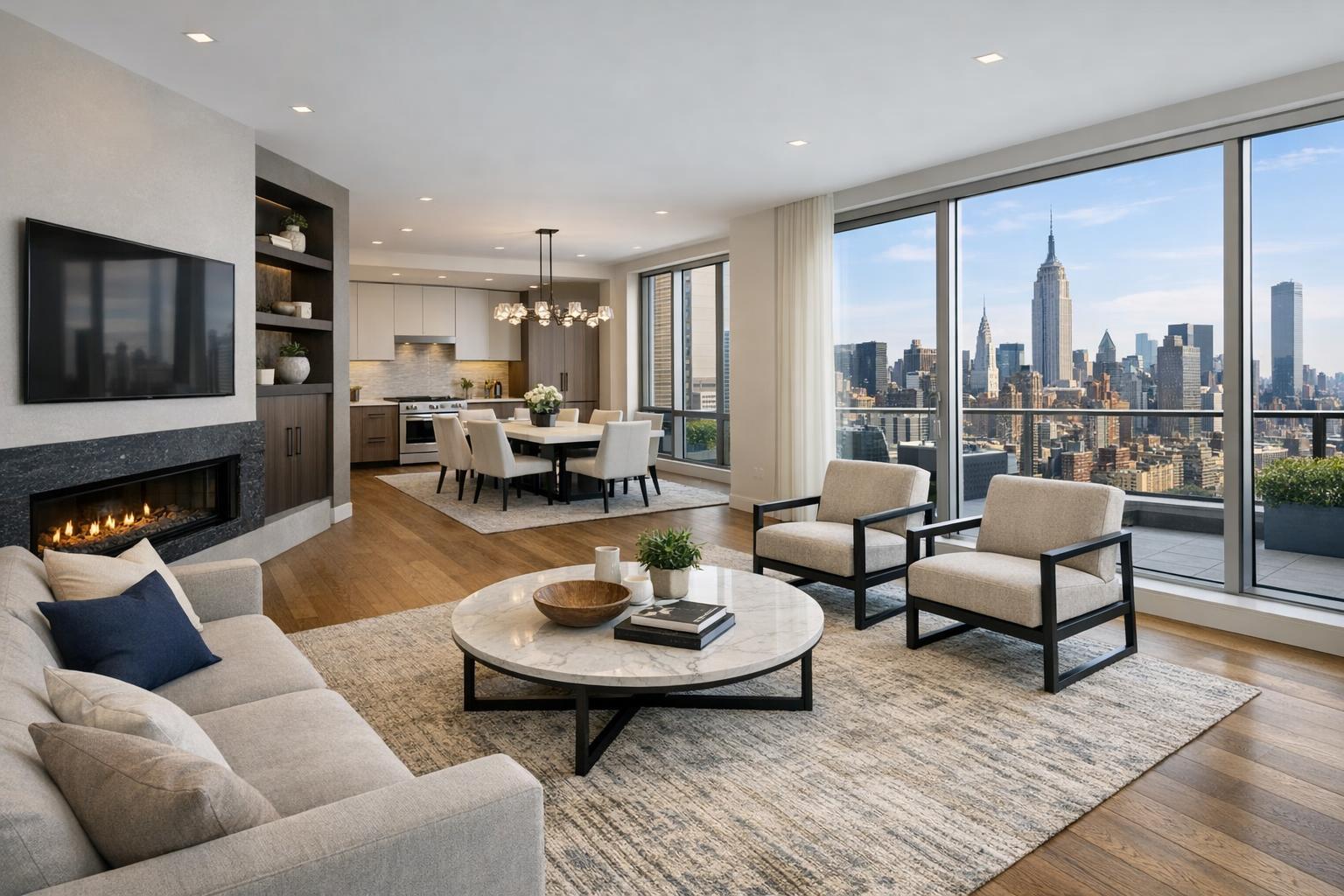
Some listings simply don’t have compelling exterior features, views, or outdoor context to justify an aerial package. If the best story is inside—luxury finishes, custom layouts, rare interiors—real estate drone photography can rarely add much. In these cases, prioritize outstanding interior stills and, if useful, walk-through video.
Skip drone work if:
- The property is an interior-focused co-op or apartment without exterior features
- Surroundings are heavily obstructed, leaving no clean flyable perspective
- There is no safe or legal launch point
- The exterior setting is clear and unremarkable, adding little benefit
- Your budget would be more effectively spent on expanded photography or a listing video
Good real estate marketing is about clarity, not checking boxes. Choose the media that directly supports the sale.
Combining Ground and Aerial Media for a Coherent Story
Aerial photography works best as an accent within a broader, coordinated media approach. At RealtaSnap, most coverage begins with high-quality interior and exterior photography. Those images deliver information about finishes, space, storage, and lighting. Drone media, when included, gives a sense of place, bridges the gap between indoor and outdoor, and can help the listing gallery flow naturally for the viewer.
Short drone videos can complement stills in properties where movement (approach, transition from outdoor to indoor, arrival at a rooftop) helps illustrate access or position. The combination of these assets works best when every image serves a defined purpose.
You can explore RealtaSnap’s real estate photography, video, and drone options with detailed service information here: professional services for NYC and NJ listings.
What Makes a Drone Shoot Smoother (and More Useful)
Aerial shoots involve exterior spaces and, sometimes, a lot of wind or sunlight. Fast, clean capture relies on simple preparation:
- Remove any temporary items, boxes, debris, or loose equipment from roof, terrace, or yard spaces
- Stage outdoor furniture with clear seating and entertaining zones visible from above
- Secure or move lightweight objects that might get blown or shift in wind
- Have roof and terrace keys or contact info ready to minimize on-site delays
- Identify which angles matter most—a wide downshot or a long view toward the skyline, for instance
- Let building staff or other stakeholders know about the scheduled drone flight to avoid surprises
A little prep can elevate the clarity and quality of the final aerial media.
Flight Feasibility: Rules, Safety, and Why Not Every Request Gets Approved
Even when a listing seems to call for an aerial perspective, operational realities can put the brakes on drone use. All flights are governed by FAA regulations, as well as local rules and conditions on the ground. At RealtaSnap, every drone request is reviewed case by case, considering:
- Current airspace restrictions (including temporary or special events)
- Weather (high wind, rain, glare, low visibility can all ground a flight)
- Security and public safety (launch/landing zones, street activity)
- Adequate access to the property and any relevant roof, terrace, or yard spaces
- The presence of nearby obstacles or an overly confined flight area
RealtaSnap does not obtain municipal, NYPD, or special-event permits. If your project requires special permissions that exceed normal FAA or property access review, those must be arranged by the client. If compliance can’t be secured, the assignment may need to be declined.
Full details can be found at RealtaSnap’s drone services page.
NYC, New Jersey, and the Local Landscape
Most agents and owners know to expect extra complexity in NYC. Aerial shoots in Manhattan require a detailed site review because of both safety and airspace restrictions. Brooklyn settings vary; some brownstones and warehouse buildings have accessible rooftops while mid- and high-rise condos may be surrounded by obstructions. In the outer boroughs and New Jersey, more open lots and larger single-family homes often make drone coverage easier, especially where outdoor areas or lot shape are focal points.
Wherever the property, the best approach is always local, property-specific, and up-front—plan for what is likely to succeed and stay flexible.
RealtaSnap Drone Media Options and Pricing
If you’re thinking about introducing aerial media for a listing, RealtaSnap offers:
- Drone photography: 10 HDR photos, $209
- Drone video: 1-minute final 4K video, $229
- Photo & video package: 10 HDR photos plus 1-minute final 4K video, $299
All potential flights undergo a location and feasibility review. Not every requested aerial angle is guaranteed to be flyable. For exact pricing or to book, visit RealtaSnap’s online booking page.
Wrap-Up: Let the Aerial View Earn Its Place
Drone photography in NYC real estate is a specialty service, not a checklist item. Its value comes from helping buyers see the setting, scale, and standout features that matter—and only when it can be executed safely, legally, and with clear visual intent. When in doubt, a strong interior and exterior coverage plan, built around what a property truly offers, will always serve you well.
If you have a listing that may benefit from aerial media or you want to talk through options for a particular property in NYC, New Jersey, or nearby markets, we’re happy to help you strategize your next shoot.
FAQ
Question: Can I always get drone photos for my NYC listing?
Answer: Not necessarily. Drone operations in NYC depend on airspace rules, weather, safety conditions, physical access, and building cooperation. Each site is reviewed individually, and flights are only approved if they’re safe and permitted under all current regulations.
Question: Is roof access required for a drone shoot in NYC?
Answer: While not strictly required, roof access often makes flights much more feasible in urban areas. It can provide safer launch zones and better perspectives for capturing rooftops, terraces, and skyline views. Always confirm access with the building before scheduling.
Question: How do I know if drone photography is worth it for my listing?
Answer: Consider whether aerial views will clarify an important feature—like outdoor space, building scale, or a unique view—that buyers can’t grasp from ground-level photos. If those features are part of the story and flight is possible, it’s often worth adding. If not, focus the visual plan on interior and ground coverage for the best impact.