When Is Drone Photography Worth It for a Real Estate Listing?
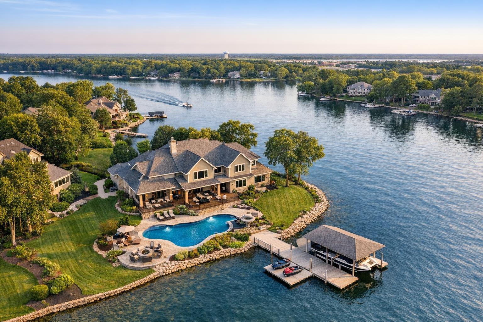
Drone photography captures a luxurious waterfront property with a pool, lush landscaping, and a private dock, set against a tranquil lakeside backdrop.
When Is Drone Photography Worth It for a Real Estate Listing?
Drone photography real estate isn’t about dramatic sky shots or simply adding flair. For those marketing properties in NYC, New Jersey, or surrounding areas, it’s about making smart decisions—choosing visual tools that give buyers a clearer, truer understanding of what’s being offered. At RealtaSnap, we regularly weigh when aerial media brings real value to a listing and when it’s best to stick with more traditional coverage.
Here’s what actually matters when considering whether drone photography deserves a place in your real estate media lineup.
The Real Value of Aerial Property Photography
At its best, real estate drone photography delivers context you simply can’t get from ground level. Most properties benefit from strong interior photography and standard exteriors. But sometimes, buyers need a sense of “place” that only a bird’s-eye view can provide:
- How does the house sit on its lot?
- Where does the waterfront begin?
- What’s the actual view from the second-story terrace?
- How close is the property to parks, street access, or other amenities?
- Is that backyard really as private as it looks in standard photos?
Drone imagery provides quick answers to these kinds of questions—whether it’s establishing the footprint of a multi-acre parcel, clarifying the location of a shorefront dock, or showing just how much space surrounds suburban or luxury properties.
Aerial property photography, though, isn’t automatically needed for every listing. Its strength is in giving potential buyers meaningful information, not just impressive visuals. Effective listing media should answer obvious buyer questions before they’re even asked.
When Drone Imagery Makes the Listing Stronger
Certain types of properties practically invite an overhead view. Here are the scenarios where we see drone coverage routinely add the most value:
Suburban Properties with Land or Outdoor Features
A single curbside photo can’t always show what makes a larger or particularly landscaped suburban lot special. Aerial images do more than “center the house”—they reveal relationships: how patios, pools, gardens, and outdoor living spaces connect to the structure, the extent of corner lots, or the privacy offered by wooded boundaries.
We see the biggest practical impact for homes with:
- Substantial, irregular, or professionally designed lots
- Pools, patios, decks, extended gardens, or outdoor kitchens
- Detached structures like barns, garages, or guesthouses
- Long or distinctive driveways and gated entries
- Properties with meaningful frontage or corner positioning
- Backyards that extend beyond what’s visible from ground shots
What comes out of these flights isn’t just a photographic “trophy” for brochures. It’s clarity—a visual map that helps long-distance buyers or relocating families understand what they’re actually getting.
Waterfront, Water-View, and Shore Properties
For waterfront listings, ground photos may hint at a view, but drone angles prove it. A well-composed overhead can capture docks, shorelines, private beach access, how close—or far—the neighbors really are, and exactly how the property sits in relation to open water, marinas, or conservation areas.
Accuracy matters. It’s about presenting the actual setting, not exaggerating what a home offers. In the NYC and New Jersey region, we see this kind of transparency appreciated most by well-informed buyers—especially in markets where investing in views is common.
Properties Defined by Architecture or Scale
Some homes just don’t make sense from the sidewalk. Large estates, homes set high on hills, or those with unique architectural details (like complex rooflines, multi-building designs, or landscaping integrated into structure) need height to fully appreciate the scale and design intention.
- Aerial photos outline true footprints and multi-building layouts
- Roof pitches, terraces, and outdoor rooms become understandable
- The home’s place on the street, block, or hillside is apparent at a glance
It’s not only for ultra-luxury listings. Any property where the size, structure, or exterior “presence” is a selling point stands to gain from clear, well-framed overhead perspectives.
New Developments and Commercial Listings
Developers and commercial asset managers often require more context: parking, street access, campus-style layouts, landscape integration, visibility from main roads, and relationship between multiple buildings all matter for business buyers and tenants.
Here, drone coverage isn’t about artistry—it’s about precise documentation and marketing. These shoots often benefit from a clear brief, since many commercial or new development sites have nuanced requirements and, occasionally, stricter restrictions.
When Drone Coverage Adds Little or No Value
Not every property benefits from going airborne. There are plenty of cases where drone photography is either redundant or impractical. Examples include:
- Apartments or units without private outdoor space or roof access
- Properties closely hemmed in by neighboring buildings that block any real context
- Listings focused on interior redesign or renovations with little exterior relevance
- Locations where a drone view would mostly show congested rooftops or traffic
- Sites where safe flight, legal compliance, or access can’t be reasonably secured
In dense city environments like many buildings in Manhattan or sections of Brooklyn, these constraints come up frequently. Strong interior photography and, where helpful, on-site video often provide more direct value for the listing than aerial photos ever could.
Being judicious with media prevents the gallery from getting crowded with visuals that don’t truly advance a buyer’s understanding of the home.
What Makes NYC and Brooklyn a Special Case?
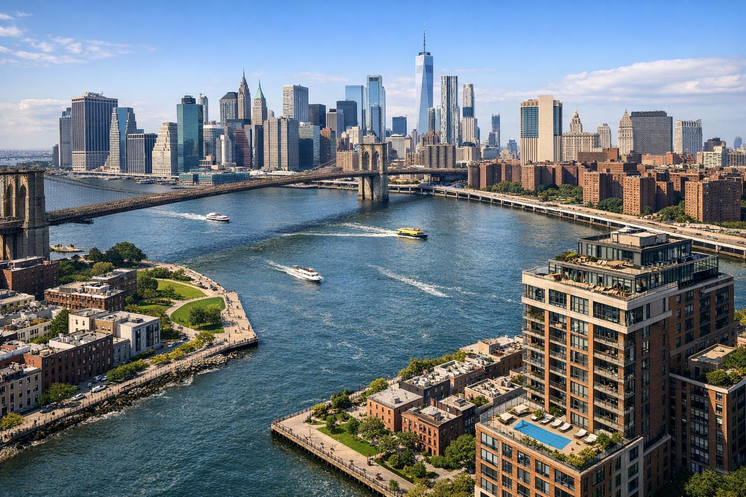
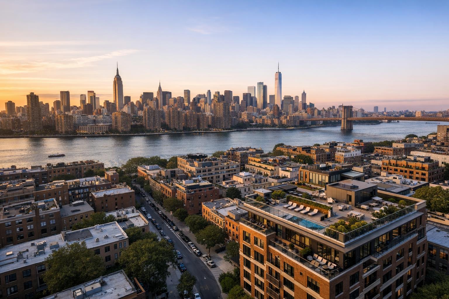
Drone operations in Manhattan and Brooklyn bring unique logistical challenges—dense development, restricted airspace, pedestrian activity, building rules, and limited safe launch areas are all part of the mix. Even when roof or terrace access exists, each potential flight must be evaluated individually, balancing:
- Building management rules
- Airspace and FAA compliance
- Site access and local conditions
- Pilot discretion, based on in-person safety assessment
Occasionally, properties with striking rooftop views or dramatic skyline relationships do justify the extra step of aerial capture. But more often, listings in these locations are better served with carefully composed interiors, targeted amenity shots, detailed floor plans, and traditional exteriors. Forcing drone media where it doesn’t add true clarity can actually distract from a listing’s best qualities.
The Difference Between Aerial Photos and Aerial Video
This isn’t just a question of “do you want the drone”—it’s about purpose. Still photos and video accomplish very different things in practice:
When to Use Aerial Photography
Choose aerial stills if you want listing photos that visually pause on the most relevant features: the edge of the pool, clear lot boundaries, garden layouts, waterfront access, or the way a property relates to a nearby park or open space.
Still photography remains the best fit for:
- MLS listing galleries
- Print and digital brochures
- Materials featuring a single, clear image
- Supplementary website galleries
RealtaSnap’s drone photo package typically includes 10 HDR images with blue sky replacement as needed—a coverage option chosen specifically to offer strong context without overwhelming the main gallery.
When Aerial Video Matters
Movement tells a different kind of story. A drone video can “bring buyers in,” show approach along a sweeping drive, rise above a home to reveal an impressive view, or create a sense of connection with surrounding spaces that stills just can’t match.
Video adds tangible value for:
- Waterfront estates, shore properties, or dramatic land parcels
- New builds where approach and scale matter
- Commercial and multi-building sites
- Listings that already feature professionally produced property videos
RealtaSnap offers a 4K aerial video option (one-minute final edit), and a combined photo-video package for properties that warrant both. These packages are generally used alongside a larger on-site video shoot, so the movement from air can transition naturally to interiors and lifestyle features.
Flight Feasibility: Start Practical, Stay Safe
No aerial media should be promised before site review. Every drone shoot with RealtaSnap is approached case by case, factoring in:
- FAA Part 107 compliance and airspace authorization
- Local and on-site restrictions
- Weather, visibility, and wind (day-of)
- Building and site access
- Surroundings: power lines, trees, structures, traffic, crowds
- Pilot discretion for safety
Even if a listing description makes a property look like the perfect drone candidate, things sometimes look different on location. If special permits are needed (for example, municipal or NYPD in NYC), these must be arranged by the client—RealtaSnap does not handle municipal permitting or special-event approval as part of our standard service.
How to Decide If Aerial Media Is Right for Your Listing
For most real estate professionals, the decision is rooted in context: Will an elevated perspective unlock relevant details for buyers that aren’t clear from ground level?
Before booking aerial coverage, ask:
- Is the property’s exterior space, view, or position a defining feature?
- Will a drone perspective offer information that can’t be replicated from the ground?
- Is there a specific relationship to water, park, or landscape worth visually explaining?
- Will you actually use aerial stills, video, or both in your marketing materials?
- Are local site conditions and airspace likely to permit safe, legal drone flight?
- Would your media budget get greater impact covering interiors, amenities, or producing video/floor plans instead?
Often, a tailored media mix makes the most sense: a suburban listing with strong exterior spaces may benefit from both drone photos and interior HDR photography, while a compact NYC apartment may need nothing more than clear interior work and a great floor plan.
What It’s Like to Book Drone Services with RealtaSnap
RealtaSnap offers on-site, marketing-focused drone photography and 4K aerial video for listings across NYC, New Jersey, and select surrounding areas. Each project begins with a feasibility review—if we can fly safely and add marketing value, we’ll coordinate aerial shots with the rest of your appointment. Our typical pricing:
- 10 drone photos: $209
- Drone video (1-minute final, 4K): $229
- Photo and video package: $299
View our current drone service details and book online.
Every listing deserves a thoughtful approach—the focus should always be on showing the property as it actually lives in its environment. That’s what truly helps buyers make an informed decision.
To discuss whether aerial media is a good fit for your next listing, or if you’re ready to coordinate coverage, visit www.RealtaSnap.com.
FAQ
Question: How do I know if drone photography is even possible for my New York or New Jersey property?
Answer: Every site is checked for airspace, building access, safety, and legal restrictions before scheduling a drone shoot. Urban locations, especially in Manhattan and Brooklyn, often require roof access and are subject to FAA and local rules. Not all properties will qualify, but RealtaSnap can advise once we have your address.
Question: What’s included in a standard RealtaSnap drone package?
Answer: Our standard offering is a set of 10 HDR aerial photos (with blue sky replacement if needed) or a professionally edited 1-minute 4K aerial video, or a combined package. Each is designed for clarity and relevance—showcasing the setting, scale, and features most important for marketing the property.
Question: Should I invest more in drone video or stick with aerial photos?
Answer: Drone photos are typically best for listing galleries and print. Video works well when movement (approach, scale, context) adds meaning—for example, waterfront estates or properties with long driveways. Many listings only need photos, but if you have marketing space for a motion sequence, a video or combined package can be a worthwhile addition.
For more details or to book your next shoot, visit www.RealtaSnap.com.