The Evolving Role of Drone Photography in NYC Real Estate Marketing
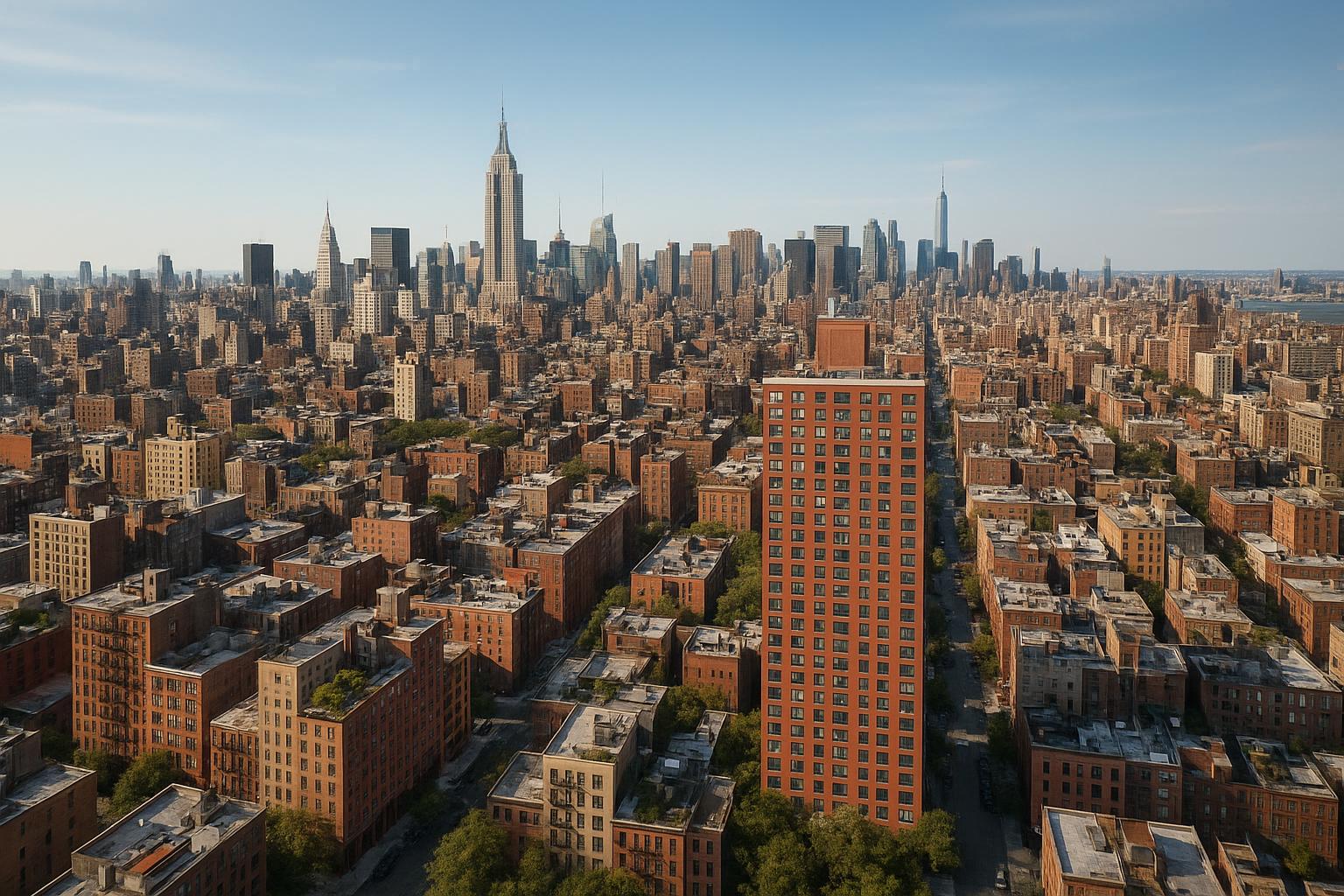
Drone photography NYC captures a panoramic view of Manhattan's skyline, highlighting the dense arrangement of buildings and iconic skyscrapers.
How Drone Photography is Changing Real Estate Marketing in NYC
Drone photography NYC has rapidly become a must-have for serious real estate professionals looking to elevate their property listings and capture attention in a crowded digital marketplace. In this guide, you’ll learn how aerial real estate media transforms residential and commercial listing strategy, why compliance and safety matter in dense urban markets like New York City, and how trusted partners such as RealtaSnap deliver results that actually move the needle for agents, brokers, hosts, and managers in NYC, New Jersey, and adjacent markets.
Along the way, we’ll share field-tested expertise, practical workflow insights, and a FAQ to answer common questions about using drone photography for real estate marketing.
The Real-World Problem
In NYC, the listing field is fierce. With hundreds (sometimes thousands) of new properties surfacing daily, every image matters. Yet many property pros are frustrated by problems like:
- Low click-through rates from generic exterior photos
- Listings that struggle to convey layout, location, or context
- Weak first impressions due to poor angles, glare, or shadows
- Media that doesn’t stand out against neighboring inventory
- Empty or cramped interiors that don’t engage buyers’ imaginations
- Slow or inconsistent buyer engagement online
- Photos that fail to capture roof decks, gardens, views, or building amenities
Relying solely on ground-level or phone photos can make even premium listings look bland or oddly proportioned. Especially in NYC and NJ, where space is at a premium and skyscraper environments make it hard to “step back,” agents are limited by ceiling height, narrow streets, and busy sidewalks. Pros know: what the buyer sees at a glance is what determines their next click—or swipe.
What Experienced Media Teams Know
Experienced real estate media teams understand that how a property is captured matters as much as what is captured. Here’s what separates a seasoned operation like RealtaSnap:
- Timing shoots to match the property’s lighting window for optimal shadows (essential for exterior drone shots—New York’s tall buildings create challenging mid-day glare)
- Managing window exposure, so cityscapes don’t look washed out while interiors stay vibrant
- Adjusting flight plans for legal airspace and pilot safety (FAA Part 107 compliance is not optional in NYC; unauthorized drone use can lead to fines or unsafe flights)
- Requesting or securing roof access—critical in dense urban areas and often the difference between an iconic skyline shot and a generic “from the curb” view
- Fast editing turnaround (next-day delivery isn’t unusual for premium teams) so that listings go live while interest is highest
- Consistent color correction, vertical line framing, and blue sky replacement for gloomy or overcast days
Real-world drone crews must adapt quickly to weather, building management rules, and the evolving needs of busy agents. Every assignment calls for site-specific planning—working the angles, minding the light, and sometimes re-flying to get the signature branding shot.
How RealtaSnap Solves It
At RealtaSnap, our approach is field-tested and designed for the realities of NYC, New Jersey, and beyond. Our media crew handles everything from pre-flight airspace checks to on-site adjustments—ensuring legal, safe, and stunning results every time.
- FAA Part 107 certified and fully compliant with evolving rules for New York airspace and building management
- Advanced HDR and 4K drones deliver crisp, immersive images that highlight property scale, context, and amenities
- Blue sky replacement available for challenging weather days
- Photographers and pilots coordinate with building staff for roof access, lobby entry, and flight plans—no part of the property is missed if it can be flown safely
- Streamlined booking via web or mobile, and rapid 24-hour turnaround on most orders
- Consistent, polished editing—balancing window exposure, correcting verticals, and retouching skies—so every shot tells the property’s best story
With transparent pricing and clear communication, RealtaSnap delivers results that bring listings to life and make agents’ jobs easier.
For drone photography in NYC:
- 10 Drone Photos (HDR, 1 hour shoot): $209
- 1-Minute 4K Drone Video: $229
- Photo & Video Combo: $299
All prices and information are subject to change. Information is deemed reliable but not guaranteed.
See more: Drone Photography & Video NYC【20:4†RealtaSnap_URL_List_MASTER.docx】【20:2†RealtaSnap_Rate_Sheet_MASTER.docx】.
Benefits of Choosing RealtaSnap
- FAA-certified pilots ensure safe, legal drone operation
- 4K/HDR imaging for eye-catching, high-quality aerials
- Blue sky editing for bright, attractive exterior shots
- Fast turnaround—next-day delivery on most media
- Seamless integration of ground and aerial photos for a cohesive story
- Easy online and mobile booking with transparent pricing
- Expert editing for color accuracy and professional finish
- Consistent branding and visual style across all listings
Why This Matters in the NYC / NJ Market
New York City and New Jersey offer unique marketing challenges not seen in other regions. Here’s why professional aerial media makes such a difference:
- High-rise environments mean standard “front-of-house” shots capture only a tiny fraction of what a listing offers; drone views show off rooftop access, neighboring parks, skyline, riverfronts, and more
- Competitive rental and sales markets (from SoHo lofts to Jersey City penthouses) reward listings that stand out instantly on StreetEasy, Zillow, and social platforms
- Urban inventory is diverse—drone photography is as powerful for detached Jersey homes as for Manhattan commercial buildings, capturing lot size, parking, and proximity to transit
- Many buyers start their search online; aerial perspectives generate more clicks and longer engagement than standard ground shots, giving properties a vital edge
Comparison with Traditional or Lower-Quality Alternatives
Cutting corners on visual media holds listings back:
- Phone photos and DIY drone flights: Often rejected by MLSs for low resolution, harsh shadows, or lack of professional polish
- Rushed or inexperienced media providers: Miss key amenities, mismanage light, struggle with compliance, or fail to deliver on time
- Inconsistent or delayed editing: Gives images a haphazard look, undermining both brand and property value
- One-size-fits-all staging: Fails to accentuate a property’s unique features, especially when aerials are just “added in” rather than thoughtfully composed
- Generic national vendors: Unfamiliar with local compliance, or unable to handle sudden changes in NYC/NJ building policy
RealtaSnap’s workflow is built around NYC and NJ requirements, delivering reliability, tailored compliance, and visuals designed to attract today’s buyers【20:13†RealtaSnap_Service_Areas_MASTER.docx】【20:8†RealtaSnap_Service_Execution_Policy_MASTER.docx】.
Conclusion & Call to Action
Real estate marketing in 2024 demands more than simple street shots—buyers expect immersive, professional media that reveals what sets a property apart. Drone photography NYC brings listings to life, especially when executed by a trusted team with in-market knowledge, technical expertise, and a commitment to quality.
If you’re ready to give your properties the edge, trust the hands-on professionals at RealtaSnap. Get a full look at our services or schedule your shoot at www.realtasnap.com or visit our NYC Drone Photography page.
Frequently Asked Questions
1. Can you legally fly drones for real estate in NYC and New Jersey?
Yes—with the right FAA Part 107 certification, proper planning, and building coordination, drone flights are safe and legal for real estate marketing in most areas of NYC and New Jersey. Certain locations may require extra authorization or be temporarily unavailable. RealtaSnap handles airspace evaluations for every job and only flies where safe and permitted.
2. What if my property is in a high-rise or dense urban area?
Roof access makes a major difference for iconic skyline shots in NYC. Our pilots work with building managers to request access when possible. If a location is too restricted, we’ll propose creative alternative angles to ensure your aerials still capture attention.
3. How quickly can I get drone photos or video after the shoot?
Most drone media is delivered within 24–48 hours. RealtaSnap’s streamlined workflow means you don’t wait a week for edits and your listing goes live with polished imagery on day one—so you stay ahead in NYC’s fast-moving market.
Ready to see what professional aerial real estate media can do for your property? Explore our solutions here or visit www.realtasnap.com to learn more.


