Analyzing the Impact of Drone Photography on New York City Real Estate Marketing
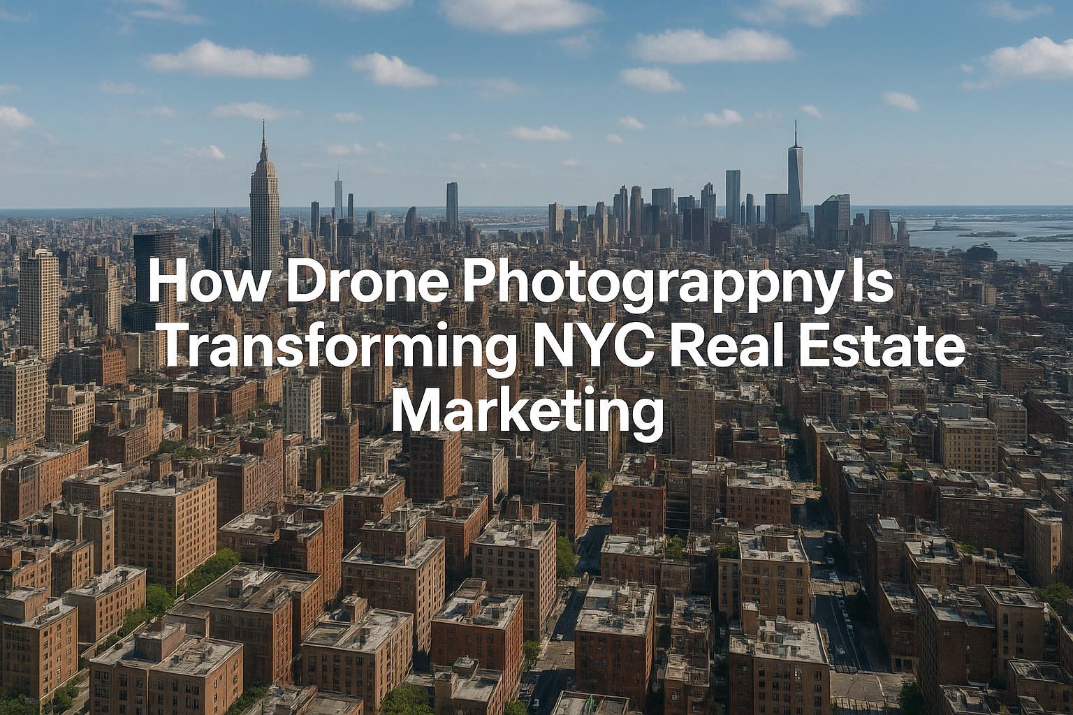
Drone photography over NYC showcases the skyline and urban landscape, highlighting its impact on real estate marketing.
How Drone Photography Is Revolutionizing Real Estate Marketing in NYC
In today’s fast-paced property market, the combination of drone photography NYC and professional real estate media is transforming how listings capture buyer attention. As top real estate teams already know, high-quality aerial photography in New York City provides a unique sense of place, boosts engagement, and brings out the full story of a listing in ways traditional methods can’t match. In this in-depth editorial, we’ll show you exactly how drone photography is shaping the market, the real reasons it works, and how experienced media teams like RealtaSnap use it to deliver powerful results for NYC, New Jersey, and the surrounding markets—drawing from countless hours of field-tested production, staging, and listing optimization.
Introduction
Drone photography NYC isn’t just a trend—it’s a game-changer in the world of real estate media for agents, brokers, and property owners looking to stand out. In this article, you’ll learn why aerial photography New York City is setting a new baseline for property marketing, what practical advantages it offers, and how to ensure your next listing harnesses its full potential. We’ll share our firsthand insights about workflow, compliance, buyer behavior, and best practices that make the difference between an average and an outstanding listing.
The Real-World Problem
Every day, we see agents, hosts, and property managers struggle to get their listings noticed and remembered—especially in the visual noise of sites like Zillow, StreetEasy, Realtor.com, and Airbnb. The most common issue? Listings that fail to pop in the thumbnail scroll. From our direct experience, typical problems include:
- Weak curb appeal or bland hero shots that don’t capture a sense of arrival.
- Poor lighting or vertical lines that make interiors look smaller or distorted.
- Listings lacking neighborhood or context shots—buyers can’t see proximity to parks, amenities, or the waterfront.
- Empty spaces that challenge buyer imagination: un-staged rooftops, bland backyard patios, or flat terraces that could be highlights if shown from above.
- Slow engagement: Even high-quality interiors might not get clicked if the first photo doesn’t stand out.
- Inconsistent branding: Brokers often rely on mixed-quality images from different sources, deflating their market positioning.
- Media that doesn’t reflect the property as it truly feels—missing the “big picture,” both literally and emotionally.
This leads to lower click-through rates, first impressions that fade fast, and lost momentum at launch—especially in NYC’s and New Jersey’s hyper-competitive sales and rental scenes.
What Experienced Media Teams Know
Years on the ground (and in the air) have taught us a few universal truths about property marketing with drones and real estate media:
- Timing is everything. NYC high-rises and Jersey brownstones both benefit from golden hour aerials—forcing us to plan flights precisely for the best ambient light. Too early or too late, and you lose the window where the sky glows but streets aren’t yet shadowed.
- Urban flight requires preparation. Regulatory hurdles, restricted airspace, and physical access (like securing roof entry) often make the difference between stunning aerials and no drone coverage at all. We’ve spent countless hours coordinating with building managers just to open rooftop doors at the right time.
- Framing and narrative matter. The right overhead photo can turn a dull backyard into an inviting private oasis, showcase hidden garden spaces, or demonstrate how a building sits uniquely on its block—insights only possible from above.
- Editing must ensure realism and clarity. We balance blue sky replacement to brighten up grey days and correct for distortion common with wide drone lenses. Each photo is tuned to match the branding and feel of the listing—a rental for young professionals needs a very different vibe than a luxury penthouse or multi-family in Jersey suburbs.
- Buyers notice detail and context. Properties with aerials that clearly show transit, waterfronts, or bustling street life consistently get more showings and open-house interest.
We also know: not every “drone shot” is equal—urban and suburban listings demand tailored flight plans, carefully choreographed with interiors, exteriors, and amenities to tell a complete story.
How RealtaSnap Solves It
At RealtaSnap, our drone photography and real estate media process is built for the unique challenges of the NYC and NJ landscape:
- Reliability & Compliance: We fly only with FAA Part 107-certified pilots and review local airspace restrictions for every assignment—ensuring both legal compliance and safety in every flight. We never fly when airspace isn’t absolutely safe and authorized【20:7†RealtaSnap_Service_Execution_Policy_MASTER.docx】.
- Visual Quality: Our aerial photography uses 4K cameras and HDR shooting with blue sky replacement as needed, ensuring sharp, bright, and professional visuals even on cloudy days.
- Integrated Storytelling: Drones are never an afterthought. From the first site walkthrough, we plan each shot to complement interiors, highlight amenities, and showcase location—so every listing has a cohesive visual arc from the sky to the first-floor entry.
- Fast, Consistent Turnaround: We know time is money. Standard drone photo delivery is typically within 24-48 hours, ready for MLS, social, and white-label marketing.
- Turnkey Ease: RealtaSnap clients can book drone photography, video, and full media packages with a few clicks, with clear pricing and no guesswork (drone photos start at $209 for 10 images; photo + video combo starts at $299. All prices and information are subject to change. Information is deemed reliable but not guaranteed【20:1†RealtaSnap_Rate_Sheet_MASTER.docx】).
- Market Coverage: We service all NYC boroughs, all of New Jersey, plus select Westchester and upstate locations on approval【20:13†RealtaSnap_Service_Areas_MASTER.docx】.
The result: a listing package that’s visually compelling, genuinely marketable, and always compliant and timely—delivered by a team of real-world media professionals who know how to solve field challenges as they arise.
Explore our drone services in NYC and NJ
Benefits of Choosing RealtaSnap
- FAA-certified pilots for every drone shoot
- Up to 10 delivered aerial photos in 1 hour
- Blue sky replacement included for overcast days
- Integrated storytelling between drone and interior shots
- Fast standard turnaround, usually 24-48 hours
- Direct booking online or via mobile app
- All services covered in New York City and New Jersey
- Professional editing ensures consistent brand look
- Compliance with all local airspace and building policies
- Transparent pricing and service guarantees
Why This Matters in the NYC / NJ Market
Urban and suburban real estate in the NYC area faces unique pressures: vertical living, dense building clusters, fierce rental competition, and savvy buyers who spend hours comparing listings online before contacting brokers. Amid historic brownstones, contemporary condos, high-rises, and multi-family buildings, an overhead drone photo instantly communicates location, architectural presence, and vibe—all in a single thumbnail. Access to river views, skyline proximity, local parks, or even a roof terrace’s size and privacy are instantly clear in an aerial, where words would fall flat.
In New Jersey’s suburbs, aerial photography allows buyers to appreciate lot size, backyard potential, and the full stretch of local amenities. Without believable, contextual visuals, listings can feel anonymous or underwhelming.
Comparison with Traditional or Lower-Quality Alternatives
There’s no contest between professionally-executed drone photography and the less experienced alternatives. Here’s what we’ve found after correcting and relaunching dozens of listings for NYC and NJ clients:
- Phone photos miss the “wow” factor: Handheld shots from street level can make even luxury properties blend in with their neighbors.
- DIY drones pose compliance risks and often lack both the technical polish (exposure, focus, color correction) and regulatory awareness essential for urban flying.
- Rushed imagery or missed angles leave out prime marketing opportunities—think hidden courtyards, rooftop lounges, or even the property’s proximity to key transit.
- Delayed delivery and inconsistent editing erode confidence and make agents scramble at the last minute.
- Generic providers may not understand (or prioritize) the difference between outdoor lighting on a Lower East Side walkup and a Jersey City high-rise—RealtaSnap’s workflow is tuned for local realities and client expectations.
Conclusion & Call to Action
Drone photography NYC is no longer optional for property marketing—it’s the new standard for those serious about attracting buyers, boosting engagement, and increasing listing impact throughout New York City, New Jersey, and the surrounding region. When partnering with an experienced real estate media team like RealtaSnap, you get not just beautiful images but a seamless process, local expertise, and field-tested reliability. See your next listing from a higher perspective.
Ready to transform your listings? Learn more about our drone and real estate media services or visit RealtaSnap.com to get started.
Frequently Asked Questions
1. Is drone photography allowed everywhere in NYC and NJ, or could compliance issues block my shoot?
Great question. Drone flights in NYC and NJ require FAA certification and strict adherence to local airspace rules; some areas have restrictions that may require additional permissions, or flights might not be feasible where safety and regulations prevent it. At RealtaSnap, we handle the airspace review and always err on the side of safety and legal compliance. This helps protect your listing, your brand, and ensures your marketing is worry-free.
2. What happens if the weather is bad on my scheduled shoot day?
Weather can postpone aerial work, especially in NYC’s variable climate. Our team will always reschedule for optimal lighting and safety rather than shoot in poor conditions. You’ll always get visually stunning, clear skies—often with blue sky replacement editing—ensuring the final images look their absolute best.
3. How do I book drone photography along with other real estate media services?
Booking is simple with RealtaSnap. Use our website or mobile app, add your property address, select drone and any other services (like video, interiors, or virtual tours), and choose your time. Our streamlined workflow saves agents time while guaranteeing a professional, on-schedule shoot every time.
Drone photography has become a defining competitive advantage in today’s market—helping listings rise above the ordinary and resonate with the buyers who matter most. Let’s work together to elevate your next listing.


